Egegik Bay
- Saltwater
- Bay
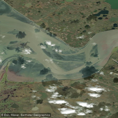
Egegik Bay
- Saltwater
- Bay
- Sq. miles
- 17
- Boat Ramps
- 0
- Access Points
- 0
- Campsites
- 0
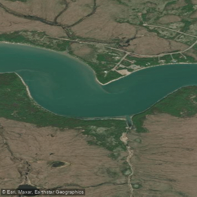
Egegik Bay is a large, open coastal bay forming the northeastern arm of Bristol Bay in Alaska. The bay is a significant marine environment with extensive tideland areas, eelgrass beds, and is the terminus for the Egegik River. The village of Egegik is situated on a high bluff along the southern shore of the river at the bay's upper extent, providing a key reference point. Primary access for paddlers is via the village, which has a deep-water dock servicing barges, a boat haul-out, and two private docks with marine storage, suggesting potential launch sites. The community is accessible only by air and water, emphasizing the remote nature of any trip. The nearest identifiable points are Coffee Point and Goose Point, located a few kilometers to the north. Paddlers must be prepared for significant exposure, as the bay is open to the full fetch of Bristol Bay. This results in conditions that can quickly become hazardous, with wind and wave action being primary concerns. A specific navigational hazard is a reported wreck approximately 6.7 miles west-northwest of Coffee Point. The area experiences substantial commercial fishing activity, particularly from June through July, when drift and set net operations for Pacific salmon are concentrated in the bay and at the river mouth. This creates areas of dense boat traffic and floating gear that paddlers must carefully navigate. The northern shore of the bay, directly opposite the village, is also used for seasonal fishing camps. Wildlife commonly observed includes harbor seals, which utilize haulouts within the bay, numerous waterfowl, and beluga whales in the broader northern region, though not specifically for calving. The historical use of the area by Yup'ik people, who traditionally traveled here by kayak for summer fish camps, underscores its long-standing connection to small craft. Given the extreme remoteness, lack of services, and powerful marine conditions, paddling here demands advanced skills, thorough self-reliance, and careful planning around tides, weather, and fishing fleet activity.
Water access, boat ramps & amenities
Learn how to get on Egegik Bay. Uncover great paddling access points, boat ramps, and all the facilities you need for an unforgettable day on the water. Some locations shown may border or include private property. Always check property boundaries and applicable regulations before visiting. PaddleWays's Public & Private Land layer can help you plan your access with confidence.
Paddle smarter with real-time insights
Whether you're en route and conditions shift or you're looking for the best spot based on current flows, we enable you to make informed decisions on the fly.








Find Places to Paddle

Over 400,000 Places to Paddle
Every user gets free access to launch points, boat ramps, and public property parcels.


Tides, wind & water conditions (10 day forecast)
On open water, wind and tide matter as much as the weather. See the best times to paddle Egegik Bay and check the marine forecast before you launch.
Loading tide predictions…
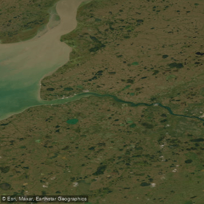
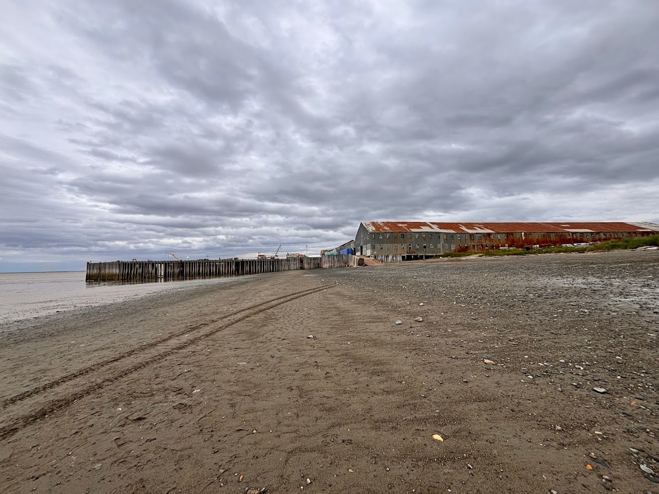
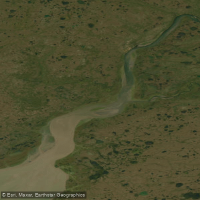
Explore Alaska waters
Top paddling waters
Popular Cities
Loading popular cities...
Explore near Egegik Bay

Smarter Paddling Starts in the App.
Paddleways gives you everything you need to plan smarter, paddle better, and own every trip from first launch to takeout.