Horseshoe Bend
- Saltwater
- Bay
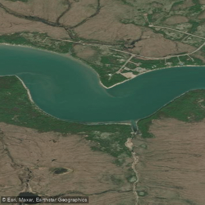
Horseshoe Bend
- Saltwater
- Bay
- Sq. miles
- 0.3
- Boat Ramps
- 0
- Access Points
- 0
- Campsites
- 0
Horseshoe Bend is a dramatic meander of the Colorado River located within Glen Canyon, upstream from the Grand Canyon. The paddling experience centers on a 15-mile flatwater section of the river from just below Glen Canyon Dam to Lees Ferry. This is a smooth water float suitable for all skill levels, with no rapids. The primary logistical requirement is arranging a backhaul service, as launching directly at the dam is prohibited for security reasons. All trips must begin at the Lees Ferry boat launch, where a commercial outfitter provides a motorized shuttle upstream. You can then paddle back downstream at your own pace, with the option to be dropped off at various points for shorter trips. A popular starting point is Petroglyph Beach, which offers views of the bend and ancient rock art, with the full 15-mile paddle back to Lees Ferry typically taking 7 to 8 hours. The river flows through a deep canyon with towering red rock cliffs rising approximately a thousand feet above the water. Notable features along the route include the Vermilion Cliffs, opportunities to see wild horses and bighorn sheep, and several side canyons like Water Holes and Falls Canyon that offer hiking. There are multiple sandy beaches suitable for stops, and six first-come, first-served campsites with composting toilets and fire rings are available for overnight trips, with no permit required. The best seasons for paddling are April through June and September through October to avoid extreme summer heat, which can exceed 110 degrees Fahrenheit. Morning paddling is recommended as afternoon winds can make progress more difficult. Facilities at Lees Ferry include a National Park Service campground, a dump station, and nearby services in Marble Canyon. The water is clear and the environment is remote, offering a peaceful alternative to the crowded overlook above.
Water access, boat ramps & amenities
Learn how to get on Horseshoe Bend. Uncover great paddling access points, boat ramps, and all the facilities you need for an unforgettable day on the water. Some locations shown may border or include private property. Always check property boundaries and applicable regulations before visiting. PaddleWays's Public & Private Land layer can help you plan your access with confidence.
Paddle smarter with real-time insights
Whether you're en route and conditions shift or you're looking for the best spot based on current flows, we enable you to make informed decisions on the fly.








Find Places to Paddle

Over 400,000 Places to Paddle
Every user gets free access to launch points, boat ramps, and public property parcels.


Tides, wind & water conditions (10 day forecast)
On open water, wind and tide matter as much as the weather. See the best times to paddle Horseshoe Bend and check the marine forecast before you launch.
Loading tide predictions…
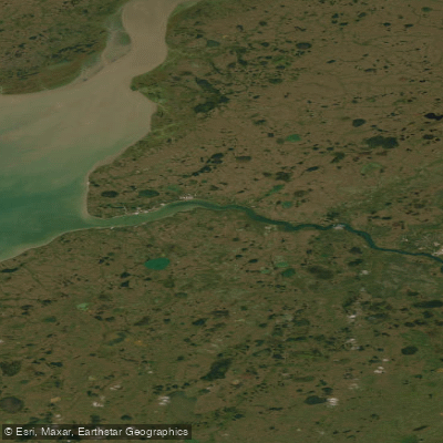
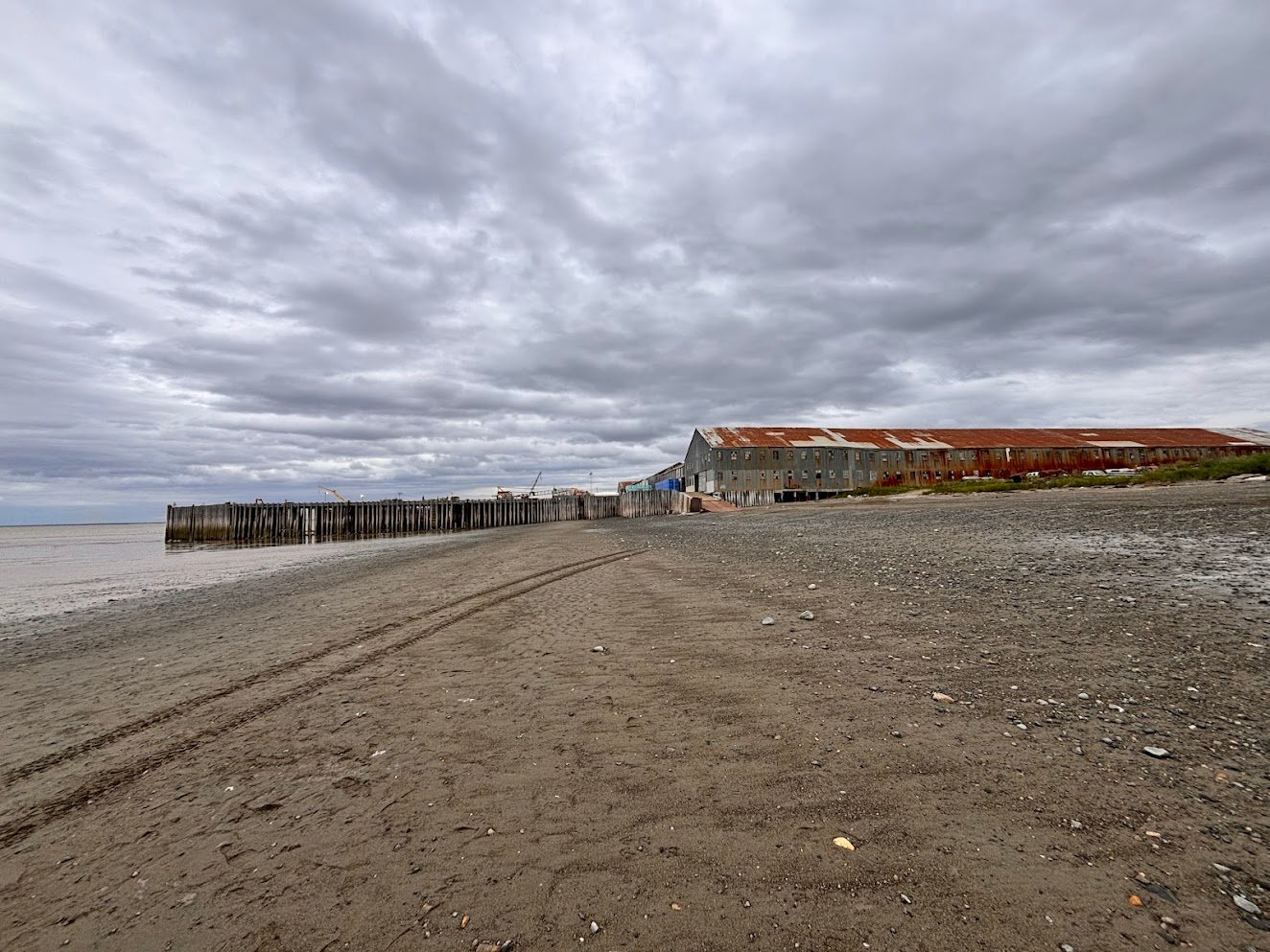
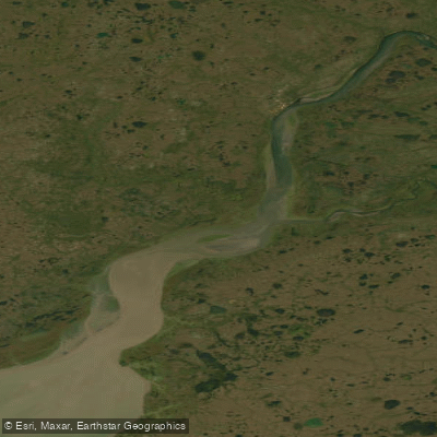
Explore Alaska waters
Top paddling waters
Popular Cities
Loading popular cities...
Explore near Horseshoe Bend

Smarter Paddling Starts in the App.
Paddleways gives you everything you need to plan smarter, paddle better, and own every trip from first launch to takeout.