Naknek River
- Saltwater
- Tidal river
Naknek River
- Saltwater
- Tidal river
- Sq. miles
- 7.8
- Boat Ramps
- 1
- Access Points
- 0
- Campsites
- 0
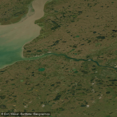
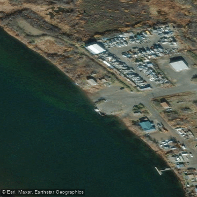
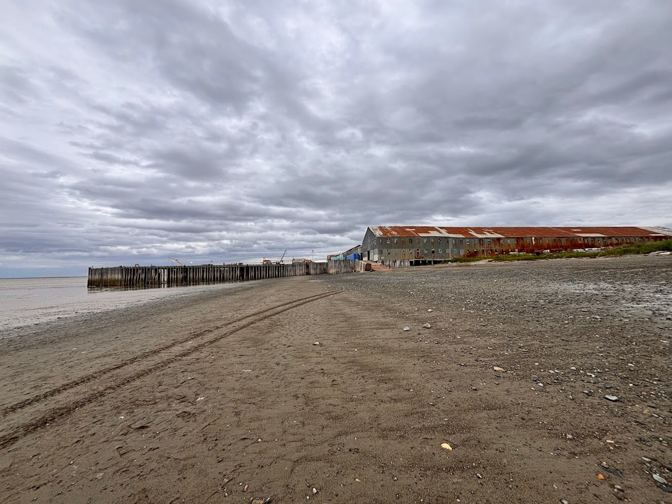
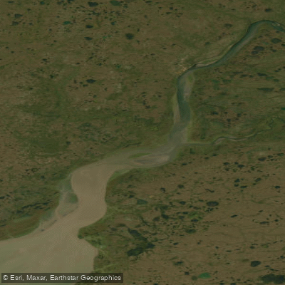
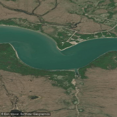
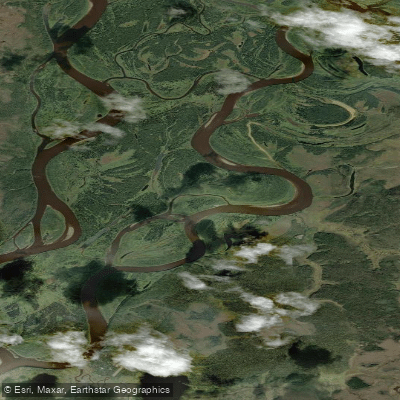
The Naknek River is a major tidal river connecting Naknek Lake to Bristol Bay in southwestern Alaska, flowing through Katmai National Park and Preserve. This is a large, powerful water body, with Naknek Lake itself being over 150,000 acres and the largest lake entirely within a U.S. national park. The river's character is distinctly split: the upper section near the lake is influenced by cold lake outflow, while the lower section near the towns of King Salmon and Naknek is a broad, working tidal river heavily influenced by the dramatic saltwater tides of Bristol Bay. For paddlers, the primary public access point is the Lake Camp boat launch, located at the outlet of Naknek Lake off a gravel road from King Salmon. This site provides a concrete boat ramp, parking, a dock, picnic area, and vault toilets. It serves as the main launch for almost all boat traffic onto the Naknek River northwest of King Salmon. Another potential access point is the King Salmon MWR Marina on the river's north bank in King Salmon, which has a launch ramp. The Savonoski Loop is a popular canoeing and kayaking route within the lake and river system. Paddling here demands serious preparation for wilderness conditions and significant hazards. The area is exposed and subject to sudden, severe weather; one account describes encountering huge waves and high wind on the river that sheared a boat's prop pin. Wind can pick up without warning, creating a long fetch on the large lake. This is dense bear country, and paddlers must take all necessary precautions for storing food and securing gear, especially at destinations like Brooks Camp. The water is cold year-round. The river sees considerable boat traffic, including commercial fishing vessels, jet boats, and floatplanes, particularly in the lower tidal section near King Salmon. The tidal influence is a critical planning factor; the river mouth experiences dramatic water level changes, and paddlers must time their travel with the tide stages, as the current can be powerful. The historical Diamond NN Cannery, a National Historic Landmark on the river's south bank, is a notable sight. The overall experience is one of remote, rugged wilderness paddling amidst a landscape of immense ecological significance, with opportunities to view brown bears, eagles, and massive salmon runs.
Water access, boat ramps & amenities
Learn how to get on Naknek River. Uncover great paddling access points, boat ramps, and all the facilities you need for an unforgettable day on the water. Some locations shown may border or include private property. Always check property boundaries and applicable regulations before visiting. PaddleWays's Public & Private Land layer can help you plan your access with confidence.
Paddle smarter with real-time insights
Whether you're en route and conditions shift or you're looking for the best spot based on current flows, we enable you to make informed decisions on the fly.








Find Places to Paddle

Over 400,000 Places to Paddle
Every user gets free access to launch points, boat ramps, and public property parcels.


Tides, wind & water conditions (10 day forecast)
On open water, wind and tide matter as much as the weather. See the best times to paddle Naknek River and check the marine forecast before you launch.
Loading tide predictions…
Explore Alaska waters
Top paddling waters
Popular Cities
Loading popular cities...
Explore near Naknek River
Access points
Nearby waters
More in Alaska

Smarter Paddling Starts in the App.
Paddleways gives you everything you need to plan smarter, paddle better, and own every trip from first launch to takeout.