Kvichak Bay
- Saltwater
- Bay
Kvichak Bay
- Saltwater
- Bay
- Sq. miles
- 577
- Boat Ramps
- 0
- Access Points
- 0
- Campsites
- 0
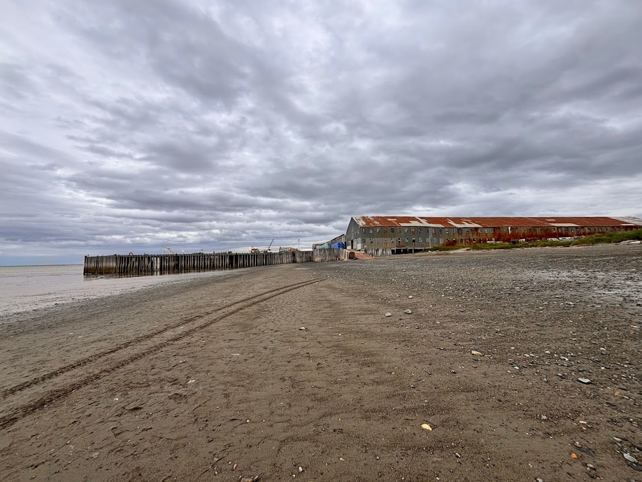
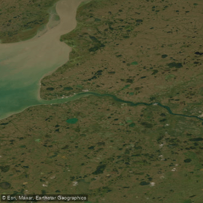
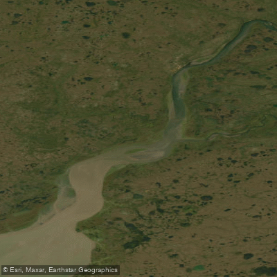
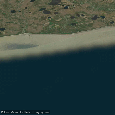
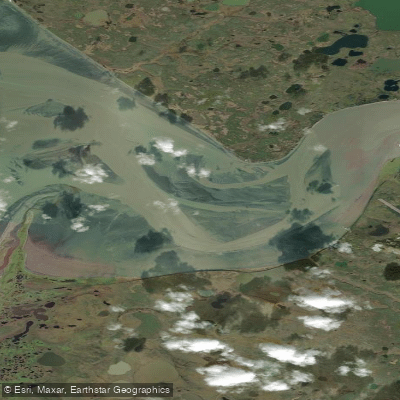
Kvichak Bay is a large arm at the head of Bristol Bay in southwestern Alaska, extending northeast from a line between the southern entrance point of the Egegik River and Etolin Point. It is a broad, open saltwater bay with a significant historical presence of commercial salmon canneries, such as the Koggiung Cannery and others, indicating a long-standing industrial fishing presence. This history contributes to the area's character, which is defined by vast, remote tundra country with no roads and few signs of human habitation once you leave the small communities on its shores. The bay serves as a primary access point for major expeditions, with experienced sea kayakers using it as a starting or stopping point for multi-year attempts to circumnavigate North America or paddle the Bering Sea coast.
Key access points for paddlers include the commercial fishing village of Naknek, situated directly on the bay, which offers services where gear can be stored. The nearby town of King Salmon, connected by road to Naknek, also serves as a regional hub for air travel and logistics. Paddling conditions are severe and should only be attempted by highly experienced individuals with proper expedition-grade equipment. The area is notorious among veteran paddlers as part of what Alaskans refer to as the "armpit of Alaska," considered one of the worst sections of the Bering Sea coastline due to exposed conditions. Capsizes are a noted hazard, with paddlers reporting frustration with the challenging sea state. The bay is fully exposed to the forces of the Bering Sea, leading to significant wind, waves, and fetch. Water temperatures are consistently cold, typical of the subarctic marine environment.
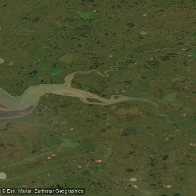
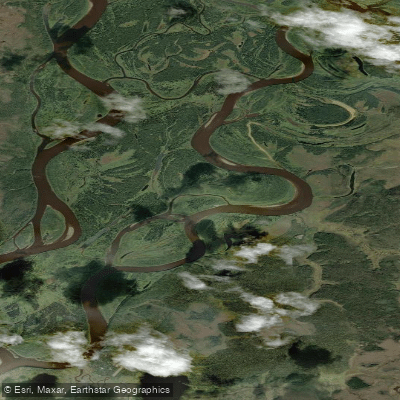
Wildlife sightings can include moose and bears along the shoreline, and the nutrient-rich waters support enormous salmon runs. The aesthetic is one of immense, empty country where the Alagnak River winds its way from inland lakes into the upper reaches of the bay. There are no noted specific paddling regulations, but the extreme environment and presence of active commercial fishing traffic necessitate careful planning, self-sufficiency, and respect for the powerful and unpredictable marine conditions.
Water access, boat ramps & amenities
Learn how to get on Kvichak Bay. Uncover great paddling access points, boat ramps, and all the facilities you need for an unforgettable day on the water. Some locations shown may border or include private property. Always check property boundaries and applicable regulations before visiting. PaddleWays's Public & Private Land layer can help you plan your access with confidence.
Paddle smarter with real-time insights
Whether you're en route and conditions shift or you're looking for the best spot based on current flows, we enable you to make informed decisions on the fly.








Find Places to Paddle

Over 400,000 Places to Paddle
Every user gets free access to launch points, boat ramps, and public property parcels.


Tides, wind & water conditions (10 day forecast)
On open water, wind and tide matter as much as the weather. See the best times to paddle Kvichak Bay and check the marine forecast before you launch.
Loading tide predictions…
Explore Alaska waters
Top paddling waters
Popular Cities
Loading popular cities...
Explore near Kvichak Bay

Smarter Paddling Starts in the App.
Paddleways gives you everything you need to plan smarter, paddle better, and own every trip from first launch to takeout.