Gravel Spit Anchorage
- Saltwater
- Bay
Gravel Spit Anchorage
- Saltwater
- Bay
- Sq. miles
- 2
- Boat Ramps
- 0
- Access Points
- 0
- Campsites
- 0
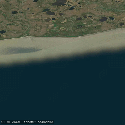
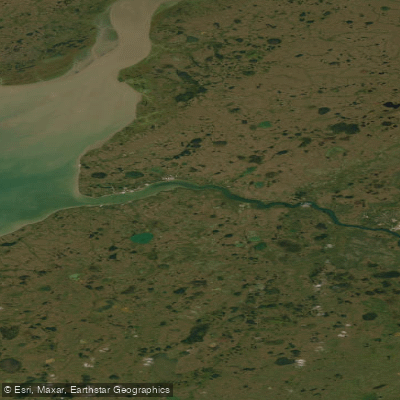
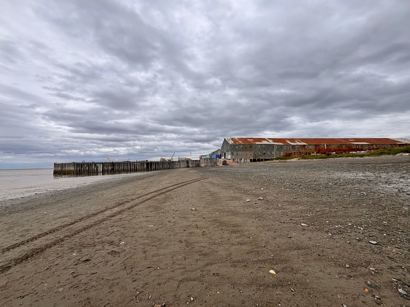
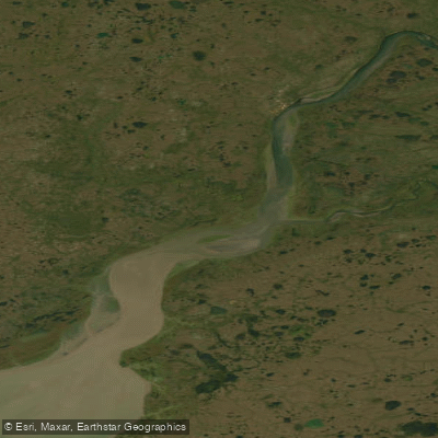
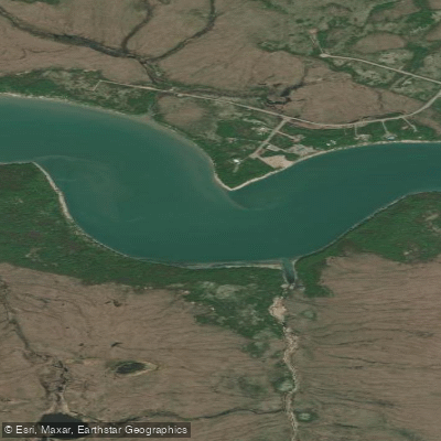
Gravel Spit Anchorage is a coastal water body located in Bristol Bay, Alaska. It is situated within the complex estuary system where the Naknek River and Kvichak River enter Bristol Bay. The anchorage is characterized by its proximity to extensive tidal flats, including the Deadman Sands, and is connected to other features like the Albert Channel. This is a remote, saltwater environment with significant tidal influence. The area is defined by a convergence of rivers and a coastal landscape shaped by the fishing industry. Paddlers must be prepared for a dynamic marine environment. Navigation can be precarious due to the shifting channels and extensive tidal flats, which can expose vast areas of sand and mud at low tide. The anchorage is exposed to the open waters of Bristol Bay, meaning paddlers can expect significant wind exposure and fetch, leading to potentially rough conditions. Boat traffic from commercial and sport fishing vessels is likely to be a major consideration, especially during peak seasons, requiring constant vigilance and an understanding of right-of-way. There are no indicated formal launches or take-outs specifically for paddlers within the anchorage itself; access would likely require planning from nearby coastal settlements like South Naknek or utilizing undeveloped shorelines. The tidal range is substantial, with a current tide height reference of -0.33 meters during a falling tide, indicating a range that can exceed several feet. Paddlers must carefully time trips with tidal stages to avoid being stranded on the flats or fighting strong currents in the channels. Crossing the main channels used by larger vessels requires extreme caution. A surf zone may be present at the entry points from the open bay into the more protected anchorage areas. The water is cold year-round, typical of the North Pacific, and weather can change rapidly. The aesthetic is one of a vast, raw, and sparsely populated coastline. Wildlife likely includes seabirds and marine mammals. There are no mentioned facilities or amenities for paddlers, emphasizing the need for complete self-sufficiency. This area is for experienced paddlers only, with skills in coastal navigation, tide reading, and handling rough water.
Water access, boat ramps & amenities
Learn how to get on Gravel Spit Anchorage. Uncover great paddling access points, boat ramps, and all the facilities you need for an unforgettable day on the water. Some locations shown may border or include private property. Always check property boundaries and applicable regulations before visiting. PaddleWays's Public & Private Land layer can help you plan your access with confidence.
Paddle smarter with real-time insights
Whether you're en route and conditions shift or you're looking for the best spot based on current flows, we enable you to make informed decisions on the fly.








Find Places to Paddle

Over 400,000 Places to Paddle
Every user gets free access to launch points, boat ramps, and public property parcels.


Tides, wind & water conditions (10 day forecast)
On open water, wind and tide matter as much as the weather. See the best times to paddle Gravel Spit Anchorage and check the marine forecast before you launch.
Loading tide predictions…
Explore Alaska waters
Top paddling waters
Popular Cities
Loading popular cities...
Explore near Gravel Spit Anchorage

Smarter Paddling Starts in the App.
Paddleways gives you everything you need to plan smarter, paddle better, and own every trip from first launch to takeout.