Egegik River
- Saltwater
- Tidal river
Egegik River
- Saltwater
- Tidal river
- Sq. miles
- 8.6
- Boat Ramps
- 0
- Access Points
- 0
- Campsites
- 0
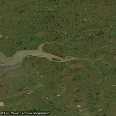
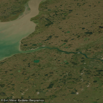
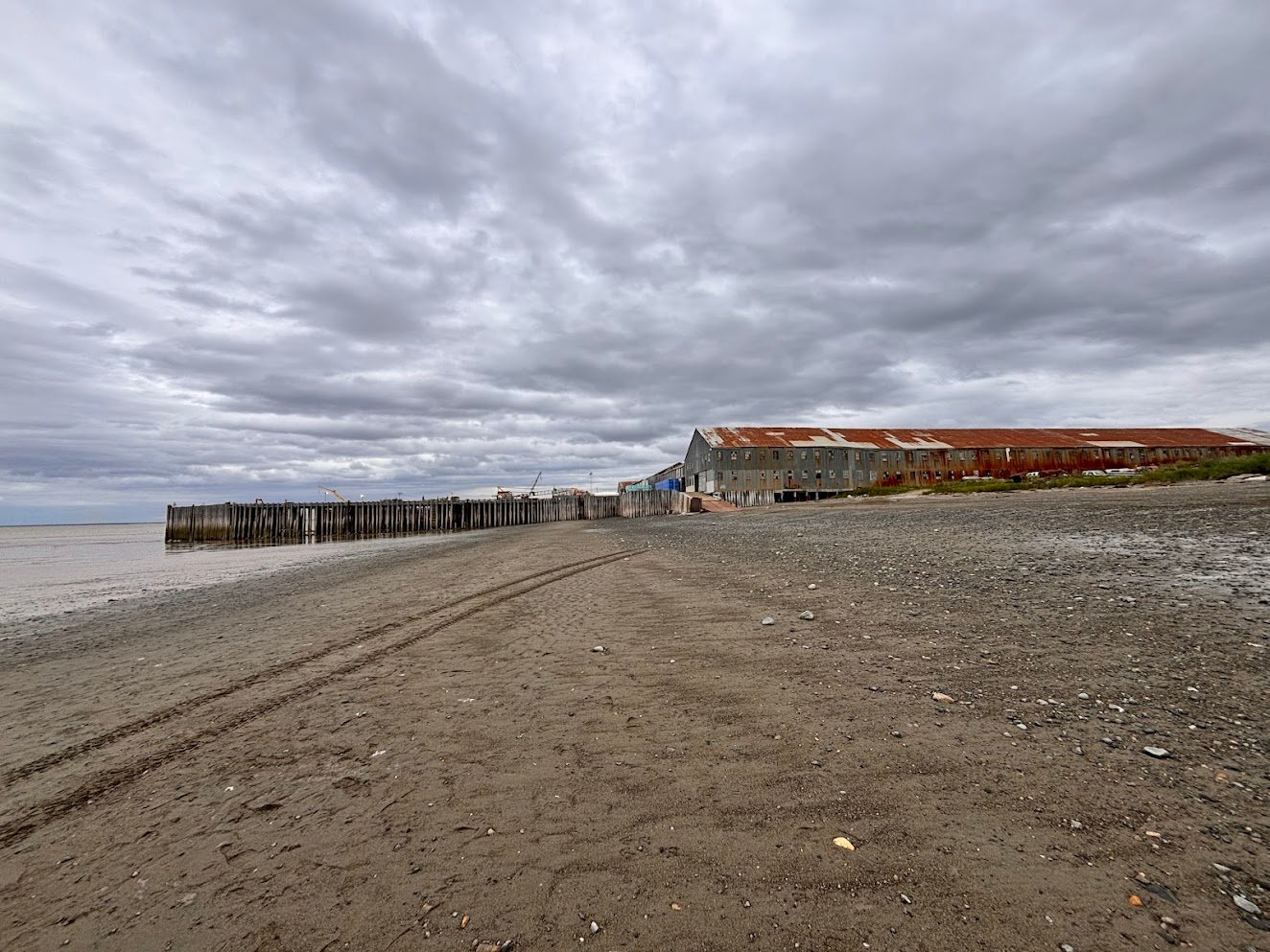
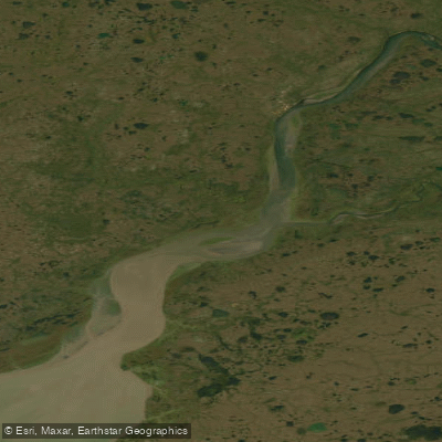
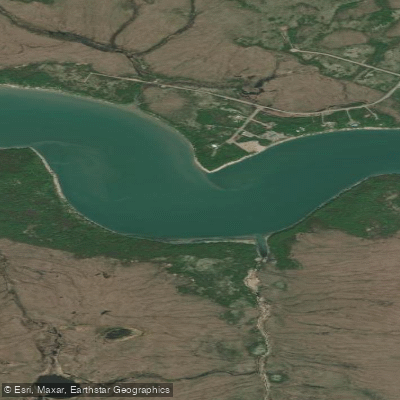
The Egegik River is a wide, shallow, and gently flowing tidal river on the Alaska Peninsula, flowing into the northeastern arm of Bristol Bay. It is a remote wilderness water body characterized by open tundra shorelines that provide expansive views and spectacular sunrises and sunsets. The river's mouth is within Egegik Bay, a major commercial salmon fishing area, which dictates the paddling environment. The community of Egegik is located on a high bluff along the southern shore at the upper extent of the bay, providing key access. The village is accessible by air and water, with a City-owned deep water dock and private marine facilities that could serve as potential launch or take-out points for paddlers. A specific "PUF boat launch" is also referenced. Paddlers must plan their trips around significant tidal forces. Tides at the Egegik River station show a large range, with high tides exceeding 16 feet and low tides dropping below the chart datum, creating strong currents. The water is cold year-round, presenting a serious hypothermia risk, and conditions are exposed. Egegik Bay has a fetch open to Bristol Bay, making it susceptible to wind and waves. The area at the river's mouth within the bay is extremely important and sensitive habitat, containing extensive eelgrass beds. This is a region of high boat traffic during the commercial salmon season, primarily from drift net and set net fishing operations, requiring careful navigation and awareness of fishing gear. Wildlife is abundant and a primary feature of the experience. Brown bears are commonly seen feeding on salmon along the shore, and paddlers should be bear-aware and carry deterrents. The area also supports wolves, foxes, harbor seals on haulouts, beluga whales in the broader region, and a plethora of bird life including eagles, sandhill cranes, and ptarmigan. The best season for activity, inferred from fishing operations, centers on late summer, particularly August and September. This is also when salmon runs are peak and bear activity is highest. The overall vibe is one of remote, self-sufficient adventure in a raw Alaskan landscape with limited connectivity and services, where paddlers are immersed in powerful natural cycles.
Water access, boat ramps & amenities
Learn how to get on Egegik River. Uncover great paddling access points, boat ramps, and all the facilities you need for an unforgettable day on the water. Some locations shown may border or include private property. Always check property boundaries and applicable regulations before visiting. PaddleWays's Public & Private Land layer can help you plan your access with confidence.
Paddle smarter with real-time insights
Whether you're en route and conditions shift or you're looking for the best spot based on current flows, we enable you to make informed decisions on the fly.








Find Places to Paddle

Over 400,000 Places to Paddle
Every user gets free access to launch points, boat ramps, and public property parcels.


Tides, wind & water conditions (10 day forecast)
On open water, wind and tide matter as much as the weather. See the best times to paddle Egegik River and check the marine forecast before you launch.
Loading tide predictions…
Explore Alaska waters
Top paddling waters
Popular Cities
Loading popular cities...
Explore near Egegik River

Smarter Paddling Starts in the App.
Paddleways gives you everything you need to plan smarter, paddle better, and own every trip from first launch to takeout.