Geikie Inlet
- Saltwater
- Inlet
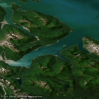
Geikie Inlet
- Saltwater
- Inlet
- Sq. miles
- 14
- Boat Ramps
- 0
- Access Points
- 0
- Campsites
- 0
Geikie Inlet is a saltwater inlet within Glacier Bay National Park in Alaska, forming part of the park's West Arm. The paddling environment here is profoundly remote and wilderness-focused, with no cell phone service and no quick rescue available, requiring paddlers to be self-sufficient and well-equipped. Access is typically by boat drop-off, with one noted kayaker drop-off location, and there are no roadside launches. The inlet features significant tidal dynamics, with a tide range of up to 20 feet, making careful planning around tidal currents and landings essential. The shoreline includes coves like Shag Cove, which is a fair-weather anchorage and offers some protection. The area is exposed to the larger forces of Glacier Bay, and paddlers should be prepared for wind and the wakes from larger vessels, including cruise ships that transit the main channels.
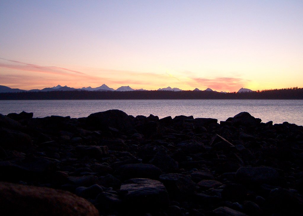
The scenery is dominated by a rugged, glacially-carved landscape with snow-capped peaks, streams running into the inlet, and views of the Carroll Glacier. Wildlife encounters are common and can be significant; humpback whales and sea otters are frequently seen, and the area is also used by bears. A specific temporary closure to foot traffic and camping was enacted along a shoreline north of the inlet's mouth due to a beached whale carcass attracting bears, highlighting the need to check for current National Park Service regulations and closures before any trip. The water is cold year-round, and the presence of icebergs is noted, indicating proximity to glacial features. There are no facilities or amenities for paddlers within the inlet itself. The overall experience is one of a true, undeveloped wilderness, best suited for experienced, prepared kayakers seeking solitude and dramatic natural encounters.
Water access, boat ramps & amenities
Learn how to get on Geikie Inlet. Uncover great paddling access points, boat ramps, and all the facilities you need for an unforgettable day on the water. Some locations shown may border or include private property. Always check property boundaries and applicable regulations before visiting. PaddleWays's Public & Private Land layer can help you plan your access with confidence.
Paddle smarter with real-time insights
Whether you're en route and conditions shift or you're looking for the best spot based on current flows, we enable you to make informed decisions on the fly.








Find Places to Paddle

Over 400,000 Places to Paddle
Every user gets free access to launch points, boat ramps, and public property parcels.


Tides, wind & water conditions (10 day forecast)
On open water, wind and tide matter as much as the weather. See the best times to paddle Geikie Inlet and check the marine forecast before you launch.
Loading tide predictions…
Paddling near Geikie Inlet
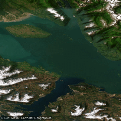
Icy Strait
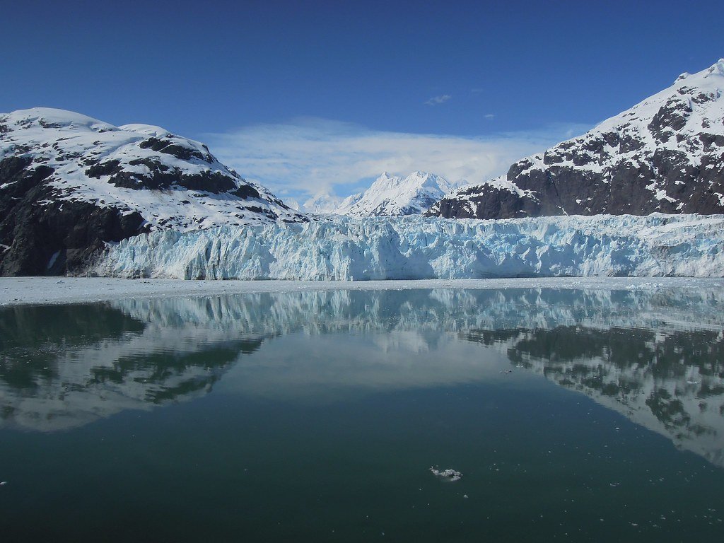
Glacier Bay
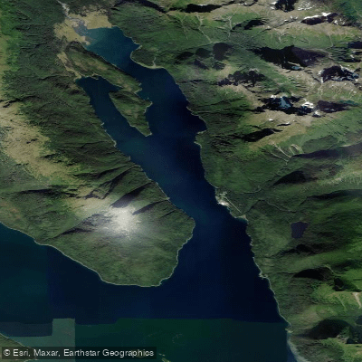
Excursion Inlet
Bartlett Cove
Port Frederick
Lynn Canal
Hutchins Bay
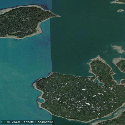
Beardslee Entrance
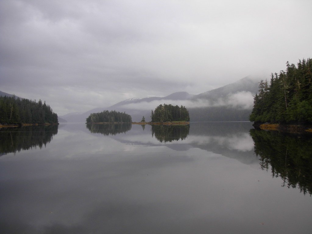
Berg Bay
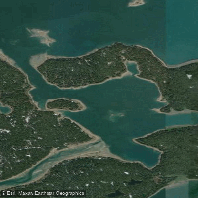
Secret Bay
Explore Alaska waters
Top paddling waters
Popular Cities
Loading popular cities...
Explore near Geikie Inlet

Smarter Paddling Starts in the App.
Paddleways gives you everything you need to plan smarter, paddle better, and own every trip from first launch to takeout.