Gulf of Alaska
- Saltwater
- Sea area
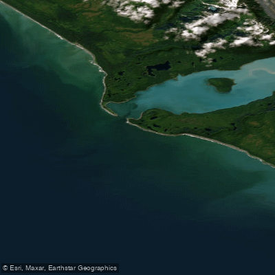
Gulf of Alaska
- Saltwater
- Sea area
- Sq. miles
- 12
- Boat Ramps
- 0
- Access Points
- 0
- Campsites
- 0
The Gulf of Alaska is a vast, open coastal sea area forming the primary marine boundary for much of southern Alaska. Paddling here is an expedition-level undertaking characterized by exposure to significant ocean swell, powerful tidal currents, and rapidly changing weather. The coastline is rugged and remote, with access points typically being small coastal towns or specific locations within national parks. Launch and take-out areas include the town of Yakutat, the Visitor Center in Glacier Bay National Park, and the Seward Small Boat Harbor for trips into adjacent Resurrection Bay and Kenai Fjords National Park. The tidal range in Southeast Alaska can be substantial, reported as 12 to 18 feet, making careful timing essential for beach landings and navigating steep boat ramps at low tide. Currents are a critical factor, especially in narrow passages and inlets connecting to the Gulf, such as Sitakaday Narrows, Inian Passage, and North Passage, where currents can exceed 3 knots and must be timed for safe passage at or near slack water. The open coast has extensive fetch, leading to significant wind-driven swell; paddlers often hug the mainland inside rock lines for protection when possible. Major hazards include the potential for strong winds, large ocean swell that can induce seasickness, and the presence of coastal grizzly bears on beaches. The water is frigid year-round. The overall experience is one of profound wilderness, with sights including tidewater glaciers, icebergs, towering mountain ranges like the Fairweather Range, and abundant wildlife such as whales, seals, sea otters, and puffins. Multi-day expeditions along routes like the Inside Passage, which uses barrier islands to buffer the Gulf's swell, are common, with trips lasting 30 to 40 days. Travel occurs within protected areas like Glacier Bay and Kenai Fjords National Parks, which have their own regulations. Guided day trips and shorter excursions are available from operators in Seward and other towns, focusing on more protected fjords and bays adjacent to the Gulf.
Water access, boat ramps & amenities
Learn how to get on Gulf of Alaska. Uncover great paddling access points, boat ramps, and all the facilities you need for an unforgettable day on the water. Some locations shown may border or include private property. Always check property boundaries and applicable regulations before visiting. PaddleWays's Public & Private Land layer can help you plan your access with confidence.
Paddle smarter with real-time insights
Whether you're en route and conditions shift or you're looking for the best spot based on current flows, we enable you to make informed decisions on the fly.








Find Places to Paddle

Over 400,000 Places to Paddle
Every user gets free access to launch points, boat ramps, and public property parcels.


Tides, wind & water conditions (10 day forecast)
On open water, wind and tide matter as much as the weather. See the best times to paddle Gulf of Alaska and check the marine forecast before you launch.
Loading tide predictions…
Paddling near Gulf of Alaska
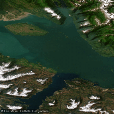
Icy Strait
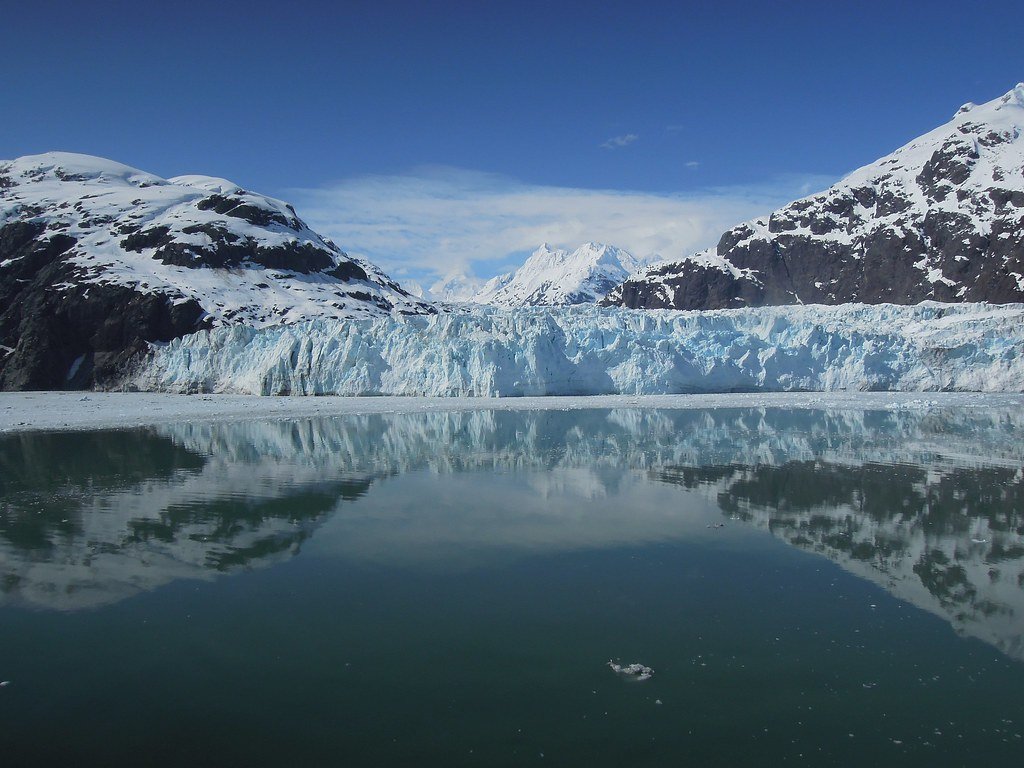
Glacier Bay
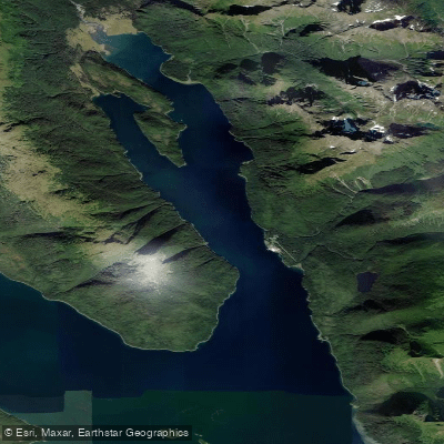
Excursion Inlet
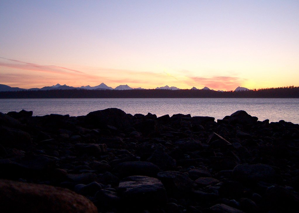
Bartlett Cove
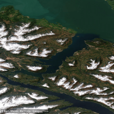
Port Frederick
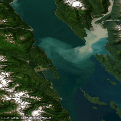
Lynn Canal
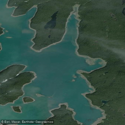
Hutchins Bay
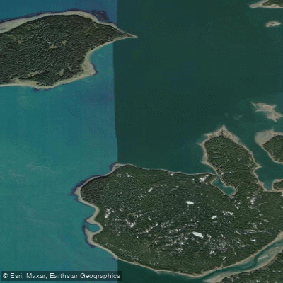
Beardslee Entrance
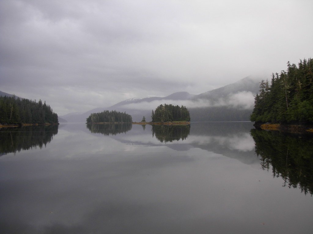
Berg Bay
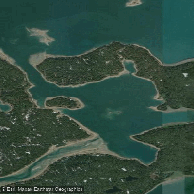
Secret Bay
Explore Alaska waters
Top paddling waters
Popular Cities
Loading popular cities...
Explore near Gulf of Alaska

Smarter Paddling Starts in the App.
Paddleways gives you everything you need to plan smarter, paddle better, and own every trip from first launch to takeout.