Lituya Bay
- Saltwater
- Bay
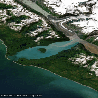
Lituya Bay
- Saltwater
- Bay
- Sq. miles
- 12
- Boat Ramps
- 0
- Access Points
- 0
- Campsites
- 0
Lituya Bay is a 14.5-kilometer-long, 3.2-kilometer-wide fjord on the Gulf of Alaska coast, located within Glacier Bay National Park and Preserve. Its most defining and hazardous feature is the narrow entrance, approximately 500 meters wide, which is considered dangerous to navigation. Tidal currents here are extremely powerful, reaching speeds of 9.4 km/h, and the tidal range is approximately 3 meters. For paddlers, transiting this entrance is only recommended at slack tide; attempting it on an ebb tide, especially with a southwest wind, can generate breaking waves that make passage impossible. One paddler's account describes successfully entering against a 1-knot ebb current, but this is explicitly against standard advice. The interior of the bay provides excellent protection from ocean swell once inside. Primary launch and landing areas for paddlers are the beaches just inside the entrance, specifically a south beach and a north beach, though these can feature dumpy and dangerous surf on the ocean side. The bay's "vibe" is one of awe-inspiring but formidable isolation, backed by the stark, rapidly rising peaks of the Fairweather Range. It is a remote destination with no facilities or amenities for paddlers; all trips must be self-supported. Notable sights within the bay include Cenotaph Island, located near the center, which features a memorial to La Pérouse's crew and evidence of past tsunamis in the form of scoured vegetation lines and downed trees. The bay is fed by the Lituya, Cascade, and Crillon glaciers. Wildlife includes sea lions near the entrance, nesting seabirds like Black-legged Kittiwakes and puffins on Cenotaph Island, and brown bears are present in the surrounding forests and meadows. The area is historically significant for a 1958 rockslide-generated megatsunami that reached over 1,700 feet up a mountainside, and for the 1786 drowning of 21 of La Pérouse's men in the tidal current. Paddlers must be entirely self-sufficient, skilled in surf landings, and adept at tidal planning for the critical entrance crossing.
Water access, boat ramps & amenities
Learn how to get on Lituya Bay. Uncover great paddling access points, boat ramps, and all the facilities you need for an unforgettable day on the water. Some locations shown may border or include private property. Always check property boundaries and applicable regulations before visiting. PaddleWays's Public & Private Land layer can help you plan your access with confidence.
Paddle smarter with real-time insights
Whether you're en route and conditions shift or you're looking for the best spot based on current flows, we enable you to make informed decisions on the fly.








Find Places to Paddle

Over 400,000 Places to Paddle
Every user gets free access to launch points, boat ramps, and public property parcels.


Tides, wind & water conditions (10 day forecast)
On open water, wind and tide matter as much as the weather. See the best times to paddle Lituya Bay and check the marine forecast before you launch.
Loading tide predictions…
Paddling near Lituya Bay
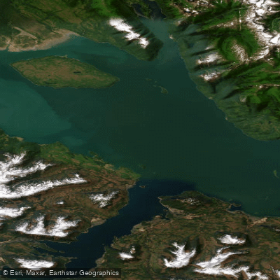
Icy Strait
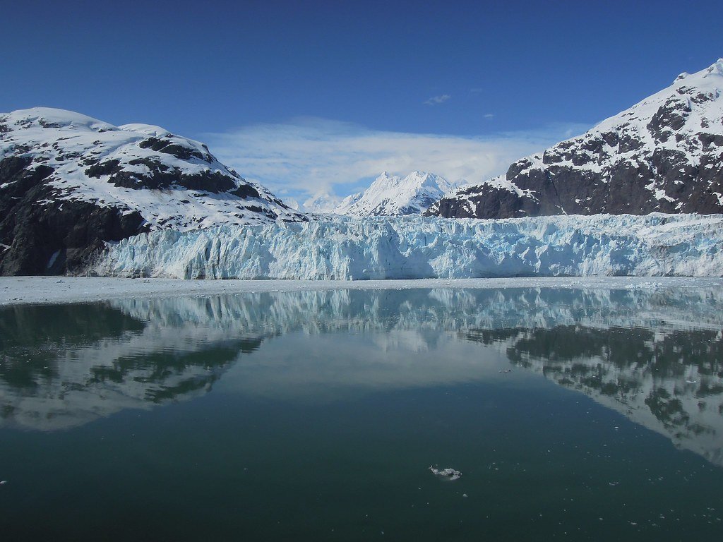
Glacier Bay
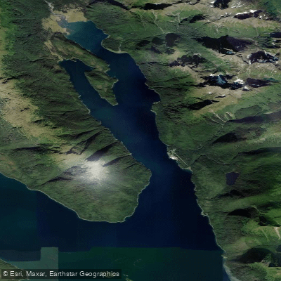
Excursion Inlet
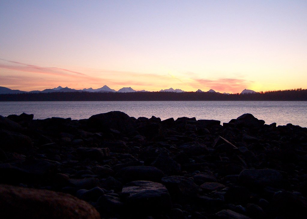
Bartlett Cove
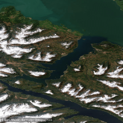
Port Frederick
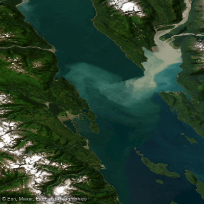
Lynn Canal
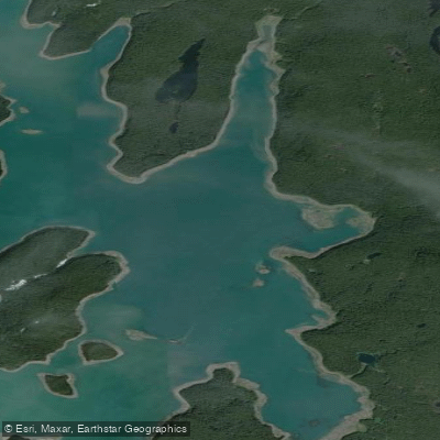
Hutchins Bay
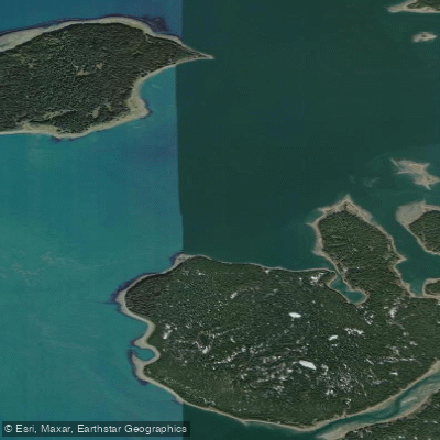
Beardslee Entrance
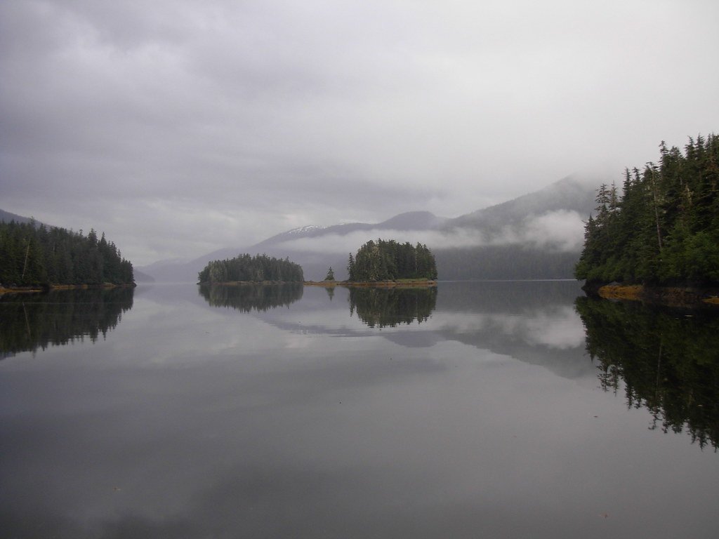
Berg Bay
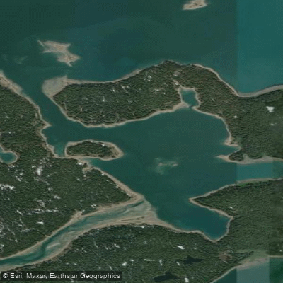
Secret Bay
Explore Alaska waters
Top paddling waters
Popular Cities
Loading popular cities...
Explore near Lituya Bay

Smarter Paddling Starts in the App.
Paddleways gives you everything you need to plan smarter, paddle better, and own every trip from first launch to takeout.