Muir Inlet
- Saltwater
- Inlet
Muir Inlet
- Saltwater
- Inlet
- Sq. miles
- 35
- Boat Ramps
- 0
- Access Points
- 0
- Campsites
- 0
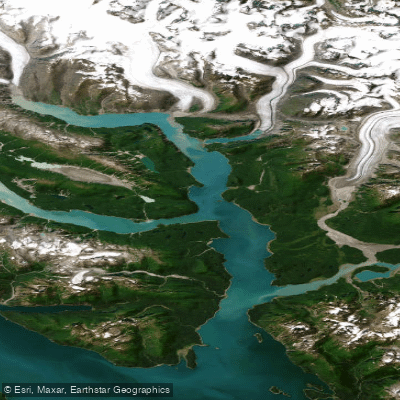
Muir Inlet is the eastern arm of Glacier Bay within Glacier Bay National Park and Preserve in Alaska. This 29-mile-long saltwater fjord is a designated wilderness area closed to cruise ships and most motorized traffic, offering a pristine paddling environment. Access is exclusively by boat or plane. Most paddlers begin their journey from Bartlett Cove, the park's headquarters, after obtaining a free permit required from May to September and attending a mandatory bear-safety session. From there, paddlers typically travel via the park's daily tour boat, which provides drop-off and pick-up services for kayakers at designated points like the Mount Wright area near the inlet's entrance. There are no formal launches or take-outs; all access is via wilderness beach landings from the tour boat or via a multi-day paddle from Bartlett Cove.
The paddling character is defined by dramatic glacial scenery, significant wildlife, and dynamic conditions. The inlet features towering mountain peaks, active tidewater glaciers like Riggs and Muir at its head, and sapphire-blue icebergs. The shoreline is constantly changing as the land rises up to an inch per year following glacial retreat. Paddlers share the waters with abundant marine life, including humpback whales, sea otters, and seals, and must maintain a distance of at least 100 meters from whales. The forested shores are home to brown bears, black bears, moose, and wolves, necessitating strict food storage and awareness.
Key hazards require careful planning and constant vigilance. Calving glaciers and rolling icebergs can generate large, sudden waves capable of flipping kayaks; a minimum distance of a quarter nautical mile from glacier faces is recommended. The tidal range is extreme, reaching up to 20 feet in the late spring, requiring boats to be secured well above the high tide line. Tidal currents are strong, particularly in the lower bay near the Beardslee Islands, and paddlers are advised to plan itineraries to paddle with the flood and ebb tides during prime hours. Wind can funnel down the fjord, creating challenging wave conditions, and paddlers should seek shelter close to shorelines when necessary. McBride Inlet, a branch off Muir Inlet, is noted for dangerous rip currents due to its bottleneck shape and should be avoided. Campsite selection is critical; beaches with a narrow intertidal zone are preferred to avoid long gear carries across extensive, often muddy, silt flats. All camping is wilderness style with no improved sites or facilities.
Water access, boat ramps & amenities
Learn how to get on Muir Inlet. Uncover great paddling access points, boat ramps, and all the facilities you need for an unforgettable day on the water. Some locations shown may border or include private property. Always check property boundaries and applicable regulations before visiting. PaddleWays's Public & Private Land layer can help you plan your access with confidence.
Paddle smarter with real-time insights
Whether you're en route and conditions shift or you're looking for the best spot based on current flows, we enable you to make informed decisions on the fly.








Find Places to Paddle

Over 400,000 Places to Paddle
Every user gets free access to launch points, boat ramps, and public property parcels.


Tides, wind & water conditions (10 day forecast)
On open water, wind and tide matter as much as the weather. See the best times to paddle Muir Inlet and check the marine forecast before you launch.
Loading tide predictions…
Paddling near Muir Inlet
Icy Strait
Glacier Bay
Excursion Inlet
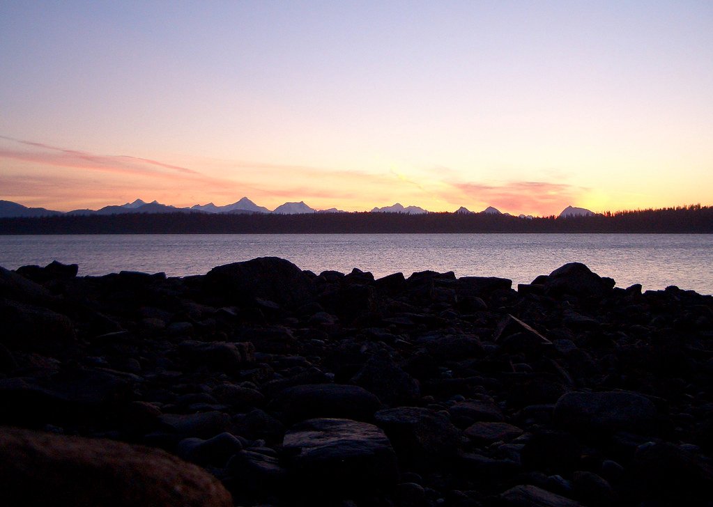
Bartlett Cove
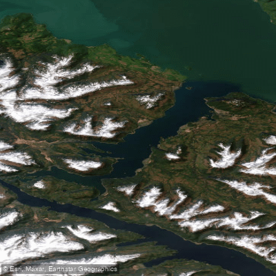
Port Frederick
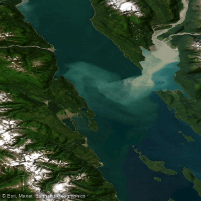
Lynn Canal
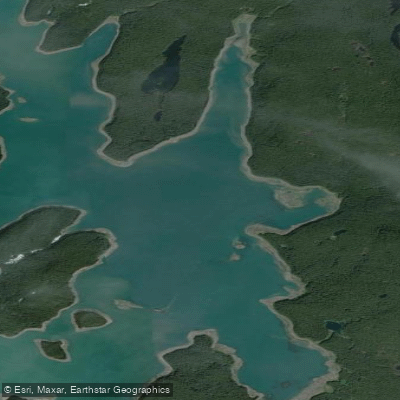
Hutchins Bay
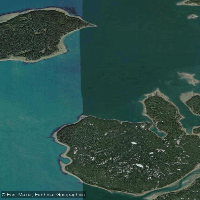
Beardslee Entrance
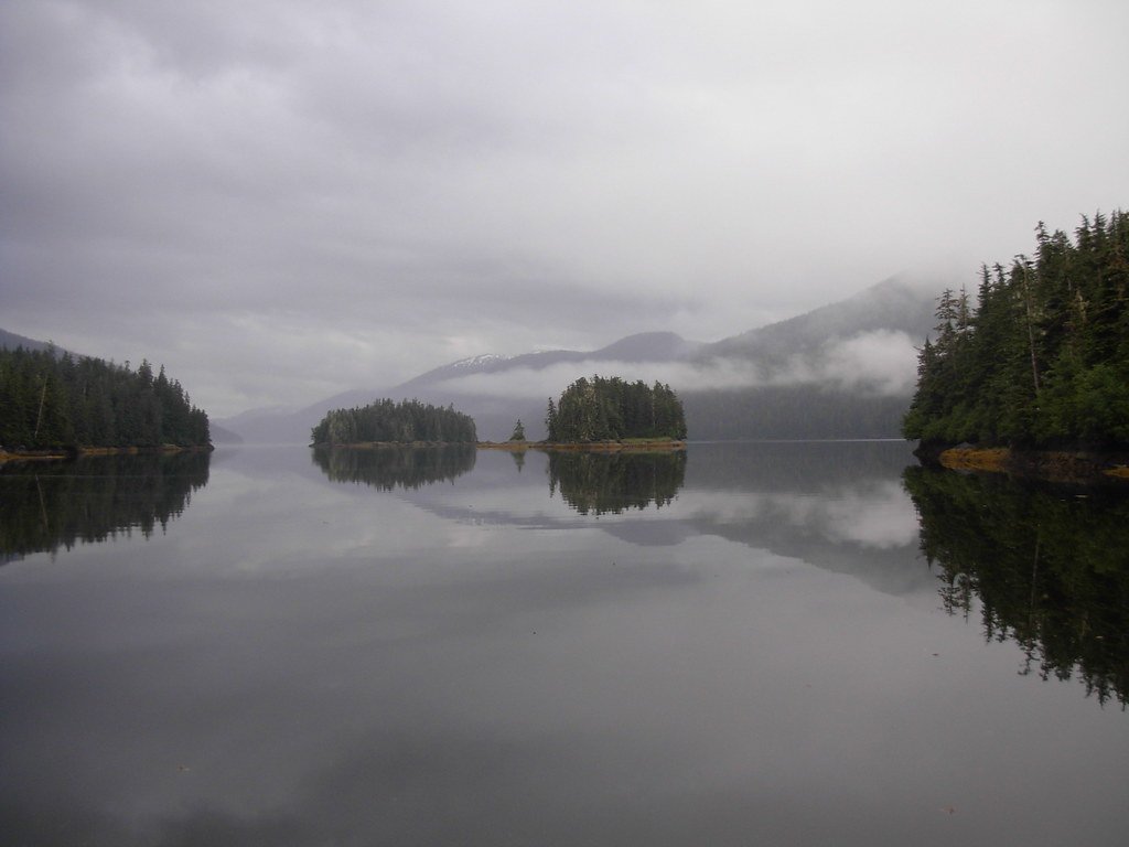
Berg Bay
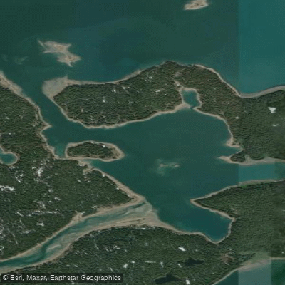
Secret Bay
Explore Alaska waters
Top paddling waters
Popular Cities
Loading popular cities...
Explore near Muir Inlet

Smarter Paddling Starts in the App.
Paddleways gives you everything you need to plan smarter, paddle better, and own every trip from first launch to takeout.