North Inian Pass
- Saltwater
- Pass
North Inian Pass
- Saltwater
- Pass
- Sq. miles
- 17
- Boat Ramps
- 0
- Access Points
- 0
- Campsites
- 0
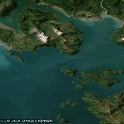
North Inian Pass is a significant tidal channel connecting Cross Sound to Icy Strait in Southeast Alaska, forming a key route for paddlers moving between these areas. It is part of Glacier Bay National Park. The pass is renowned for its powerful and complex tidal currents, which are the primary consideration for any paddling trip. Currents can reach speeds of up to 9 knots, and when an ebb current meets ocean swell from the Gulf of Alaska, conditions can stack up steeply and become hazardous. Slack water periods are brief and essential for safe passage. At the east end of the pass, ebb currents can exceed 2.8 knots flowing westward, while flood currents are typically around 1 to 1.3 knots flowing eastward. Paddlers must consult detailed, location-specific current predictions and plan crossings for slack water or during favorable tidal stages, as even at slack, powerful eddies can be present. The pass is exposed to westerly winds and open ocean swell, creating a dynamic and often challenging marine environment. Major access points for paddlers include Elfin Cove, a small community with a harbor and basic supplies located a few miles away, and the Inian Islands themselves, where a camp is noted. The area is a major wildlife corridor. Steller sea lions haul out on rookeries in the islands, and humpback whales are commonly seen feeding, particularly near Point Adolphus at the eastern exit into Icy Strait. The surrounding scenery is characterized by forested islands, misty conditions, and views of the mountains bordering Glacier Bay. Boat traffic includes charter fishing vessels, whale-watching tours, and larger vessels transiting the Inside Passage, requiring constant awareness, especially in the constricted channel. There are no protected launches within the pass itself; put-ins and take-outs are on exposed shores, and any beach landing would be on rocky substrates. The overall paddling experience is one for skilled, expedition-ready kayakers who are proficient in reading currents, navigating in open water, and handling rapidly changing conditions in a remote and wild setting.
Water access, boat ramps & amenities
Learn how to get on North Inian Pass. Uncover great paddling access points, boat ramps, and all the facilities you need for an unforgettable day on the water. Some locations shown may border or include private property. Always check property boundaries and applicable regulations before visiting. PaddleWays's Public & Private Land layer can help you plan your access with confidence.
Paddle smarter with real-time insights
Whether you're en route and conditions shift or you're looking for the best spot based on current flows, we enable you to make informed decisions on the fly.








Find Places to Paddle

Over 400,000 Places to Paddle
Every user gets free access to launch points, boat ramps, and public property parcels.


Tides, wind & water conditions (10 day forecast)
On open water, wind and tide matter as much as the weather. See the best times to paddle North Inian Pass and check the marine forecast before you launch.
Loading tide predictions…
Paddling near North Inian Pass
Icy Strait
Glacier Bay
Excursion Inlet
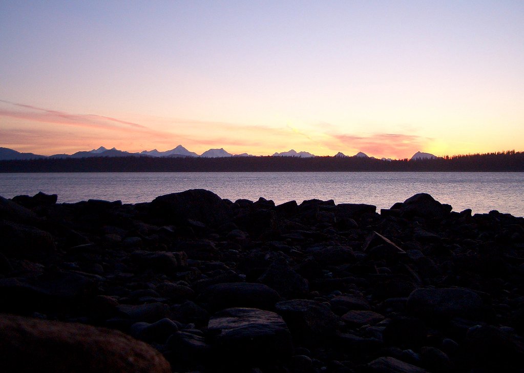
Bartlett Cove
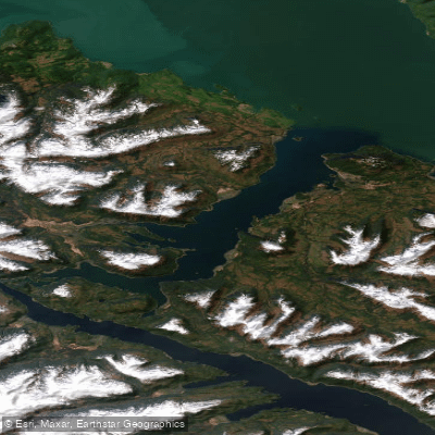
Port Frederick
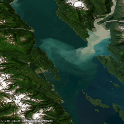
Lynn Canal
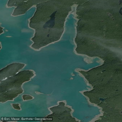
Hutchins Bay
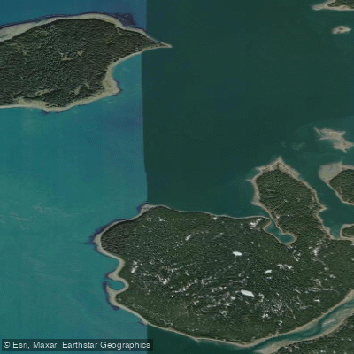
Beardslee Entrance
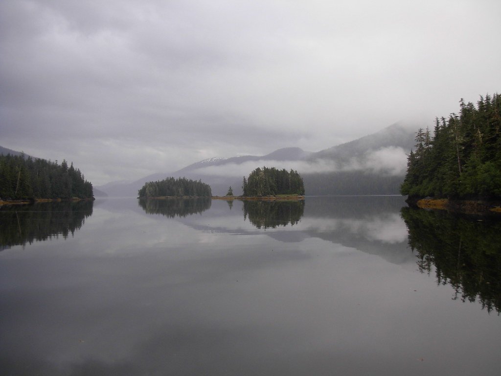
Berg Bay
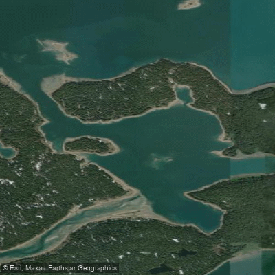
Secret Bay
Explore Alaska waters
Top paddling waters
Popular Cities
Loading popular cities...
Explore near North Inian Pass

Smarter Paddling Starts in the App.
Paddleways gives you everything you need to plan smarter, paddle better, and own every trip from first launch to takeout.