Tarr Inlet
- Saltwater
- Inlet
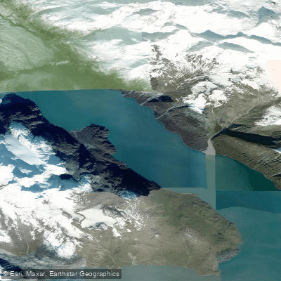
Tarr Inlet
- Saltwater
- Inlet
- Sq. miles
- 15
- Boat Ramps
- 0
- Access Points
- 0
- Campsites
- 0
Tarr Inlet is a remote, glacially-carved fjord located within Glacier Bay National Park in Alaska, USA. It forms the northern terminus of the West Arm of Glacier Bay and is characterized by its dramatic, steep-sided walls and massive tidewater glaciers at its head. The inlet is a destination for multi-day kayaking expeditions, typically accessed via a shuttle boat from Bartlett Cove to a drop-off point further up the West Arm. There are no formal launch facilities within the inlet itself; paddlers are dropped off and picked up by pre-arranged boat transport. Landing and camping opportunities along the shoreline are extremely limited, often consisting of small, muddy beaches or rocky ledges that are heavily dependent on tide height. One known campsite exists approximately one mile east of the Margerie Glacier on the inlet's south shore, but it requires landing at high tide to avoid a several-hundred-yard carry across exposed mudflats.
The paddling environment is defined by profound wilderness, solitude, and powerful natural forces. The water is typically calm and flat, often like glass, but this can change rapidly with weather. The primary hazards are the extremely cold water temperature, which is frigid year-round due to glacial melt, and the dynamic conditions around the glaciers. Paddlers must maintain a significant distance from the glacier faces due to the danger of calving ice, which generates large, sudden waves that can swamp kayaks. The area is also known for high concentrations of icebergs and brash ice that can block passages. Wildlife encounters are common, including grizzly bears along the shorelines and river mouths, mountain goats on the cliffs, and marine mammals like harbor seals and whales in the surrounding waters. There is minimal motorized boat traffic, contributing to a sense of isolation. Paddlers must be entirely self-sufficient, carrying all necessary gear and supplies, and must secure backcountry permits from the National Park Service. The best season for paddling is summer, though conditions remain cold and weather can be unpredictable with rain and fog. The most notable sights are the Grand Pacific Glacier, which is two miles wide at its terminus, and the actively calving Margerie Glacier, which is one mile wide and 250 feet high.
Water access, boat ramps & amenities
Learn how to get on Tarr Inlet. Uncover great paddling access points, boat ramps, and all the facilities you need for an unforgettable day on the water. Some locations shown may border or include private property. Always check property boundaries and applicable regulations before visiting. PaddleWays's Public & Private Land layer can help you plan your access with confidence.
Paddle smarter with real-time insights
Whether you're en route and conditions shift or you're looking for the best spot based on current flows, we enable you to make informed decisions on the fly.








Find Places to Paddle

Over 400,000 Places to Paddle
Every user gets free access to launch points, boat ramps, and public property parcels.


Tides, wind & water conditions (10 day forecast)
On open water, wind and tide matter as much as the weather. See the best times to paddle Tarr Inlet and check the marine forecast before you launch.
Loading tide predictions…
Paddling near Tarr Inlet
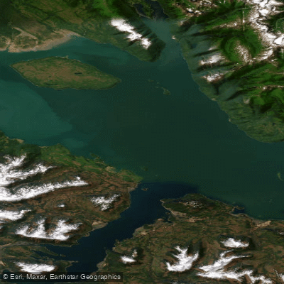
Icy Strait
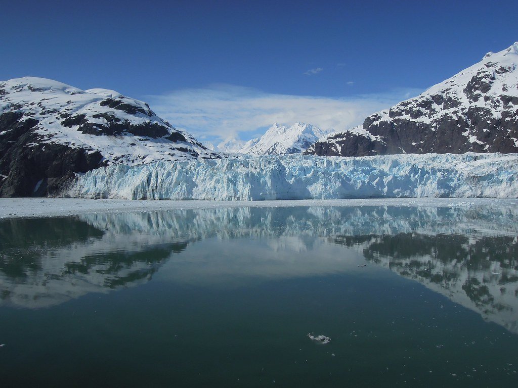
Glacier Bay
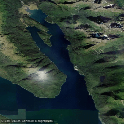
Excursion Inlet
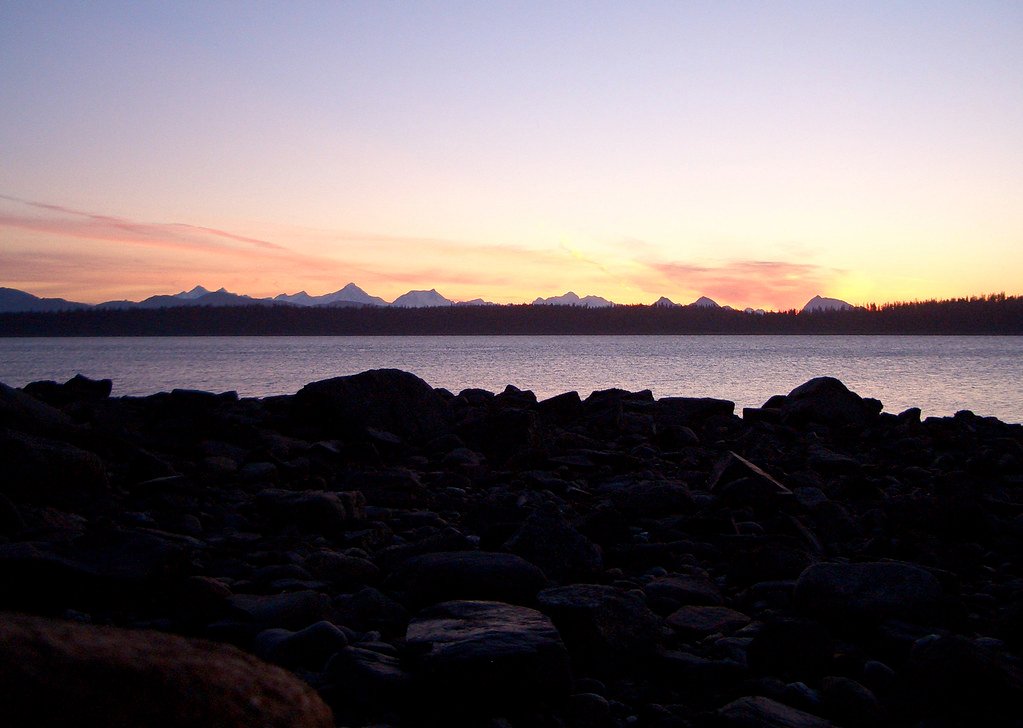
Bartlett Cove
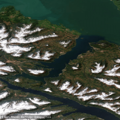
Port Frederick
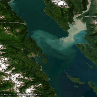
Lynn Canal
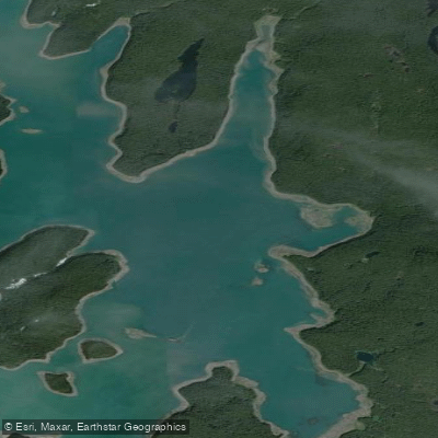
Hutchins Bay
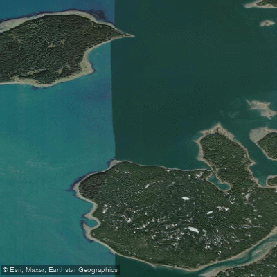
Beardslee Entrance
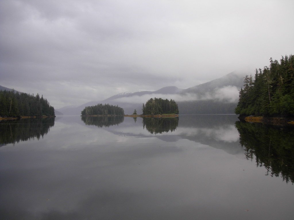
Berg Bay
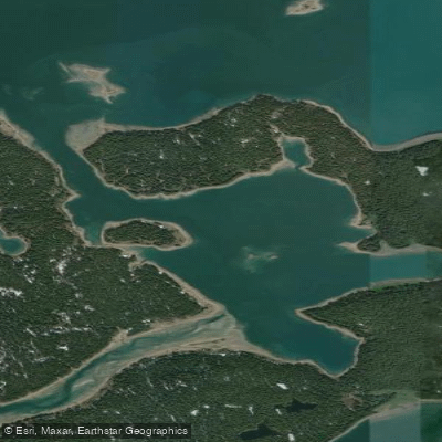
Secret Bay
Explore Alaska waters
Top paddling waters
Popular Cities
Loading popular cities...
Explore near Tarr Inlet

Smarter Paddling Starts in the App.
Paddleways gives you everything you need to plan smarter, paddle better, and own every trip from first launch to takeout.