Curated by PaddleWays
RouteFlatwater
- Distance
- 19.1 mi
- Paddle time
- ~6.5 hrs
- Best for
- Beginners, families
- Put-in → take-out
- Diamond Rock Campground Access → Forest Road Access
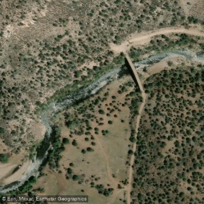
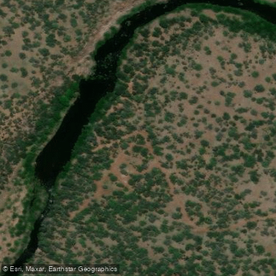
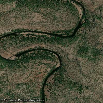
The Black River originates in the White Mountains of eastern Arizona, flowing westward through Apache and Gila counties. This 114-mile long river is a major tributary of the Salt River, joining it at the boundary between the Fort Apache and San Carlos Apache Indian Reservations. The Black River's watershed encompasses approximately 1,200 square miles of rugged mountain terrain and pine forests.
Paddling opportunities on the Black River are limited but rewarding for experienced whitewater enthusiasts. The most popular section runs from Diamond Rock to Wildcat Point on the East Fork, offering Class II-III rapids through a remote canyon. Below this, the Lower Black River provides a more moderate Class I-II experience suitable for intermediate paddlers. Water levels are typically highest in spring from snowmelt, with summer monsoon rains occasionally creating brief paddling windows. Fall can offer stable flows, while winter sees low water unsuitable for boating. Paddlers should always check current conditions and obtain necessary permits from the Apache tribes before launching.
The river corridor hosts diverse wildlife including black bears, mountain lions, elk, and numerous bird species. Stands of ponderosa pine dominate the upper reaches, transitioning to mixed conifer and deciduous forests downstream. Anglers prize the river for its population of native Apache trout as well as introduced rainbow, brown, and brook trout.
Key access points include Diamond Rock and Wildcat Point on the East Fork, and Wildcat Crossing on the main stem. The towns of Alpine and Springerville provide the closest services. Paddlers should be aware that much of the river runs through tribal lands, requiring special permits and limiting access.
Historically, the Black River valley was home to bands of Western Apache people. Today, the river forms an important boundary between tribal nations and continues to hold cultural significance. Its waters are vital for irrigation and municipal use in eastern Arizona.
Safety considerations include remote stretches with limited cell service, potential flash flooding during monsoon season, and encounters with wildlife. Paddlers should be self-sufficient and prepared for wilderness conditions. Multi-day trips are possible but require careful planning and tribal coordination for camping access.
Curated routes
Hand-picked by the PaddleWays team, with put-ins, take-outs, paddle times and the hazards along the way.
RouteFlatwater
RouteClass IV–V
Hazards
No hazards are marked on Black River yet. That is not the same as none being there: if you find one, report it for the next paddler.
From the community
Nobody has shared a trip on Black River yet. Paddle it, then tell the next paddler how it went.
See exactly where the public can get on and off the river. Launch points and boat ramps are paired with PaddleWays' public land data so you know where you can legally land.
Public shoreline
16%of the river's shoreline is public
Most of the riverbank is private. Launch, land and camp only at public access points.
Flows, weather and a route-by-route verdict, so you know which stretch of the Black River is worth paddling today.
All Flow Stations
Live flows, marked hazards and fresh trip reports from paddlers who were just on the water, all in one place.





Every user gets free access to launch points, boat ramps, and public property parcels.
Loading popular cities...
PaddleWays gives you everything you need to plan smarter, paddle better, and own every trip from first launch to takeout.