Mormon Lake
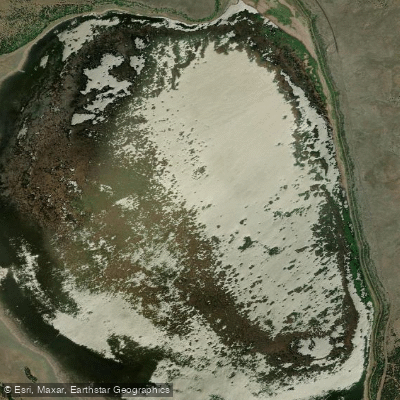
Mormon Lake
- Boat Ramps
- 0
- Access Points
- 0
- Campsites
- 5
Mormon Lake, located approximately 30 miles southeast of Flagstaff in Coconino County, Arizona, presents a unique paddling experience unlike any other in the state. As Arizona's largest natural lake, it covers up to 12 square miles when full, but its shallow depth (averaging only 10 feet) and intermittent nature create highly variable conditions. The lake frequently exists as a vast marsh or even dries completely during drought periods, making water availability the primary consideration for any paddling trip. When water levels are adequate, typically following wet winters or spring snowmelt, the lake offers calm, flat water ideal for kayaking and canoeing. The shallow, weedy conditions favor lightweight watercraft and shorter paddles rather than extended expeditions. Paddlers should expect to navigate through marshy areas with extensive stands of cattails and rushes, particularly around the lake's edges.
The surrounding landscape features scenic ponderosa pine forests at an elevation of 7,000 feet, providing a striking contrast to the open water or marsh. Wildlife viewing is exceptional, with opportunities to observe elk herds, bison, various waterfowl species, and occasionally bald eagles during winter months. The lake serves as an important wildlife habitat, making it particularly appealing for nature photographers and birders.
Access is available from Mormon Lake Road (Forest Road 90) with boat launch areas when water levels permit, though hand-carrying watercraft may be necessary as formal ramps can be unusable during low water periods. The area includes developed campgrounds at Dairy Springs and Double Springs, along with services at Mormon Lake Lodge. Before planning a paddling trip, visitors should verify current water conditions through the Coconino National Forest or local sources, as the lake's ephemeral nature means it may not always support boating activities. The high elevation also means cooler temperatures and potential afternoon thunderstorms during summer months, requiring appropriate preparation.
Water access, boat ramps & amenities
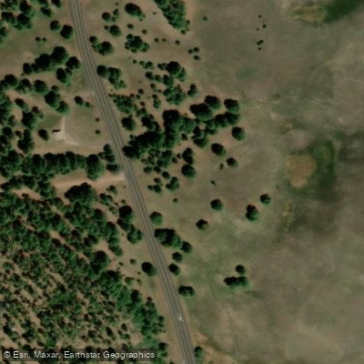
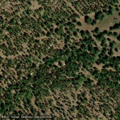
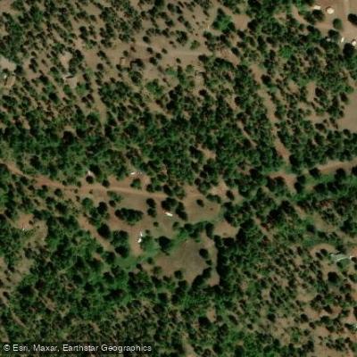
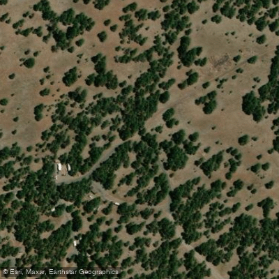
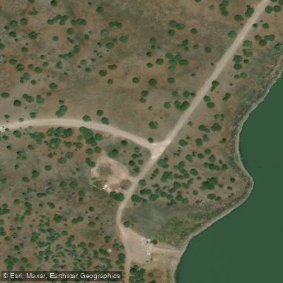
Learn how to get on Mormon Lake. Uncover great paddling access points, boat ramps, and all the facilities you need for an unforgettable day on the water. Some locations shown may border or include private property. Always check property boundaries and applicable regulations before visiting. PaddleWays's Public & Private Land layer can help you plan your access with confidence.
Paddle smarter with real-time insights
Whether you're en route and conditions shift or you're looking for the best spot based on current flows, we enable you to make informed decisions on the fly.








Find Places to Paddle

Over 400,000 Places to Paddle
Every user gets free access to launch points, boat ramps, and public property parcels.


Water and weather conditions (10 day forecast)
See the best times to paddle Mormon Lake and check the forecast before you go.
No forecast data available.
Paddling near Mormon Lake
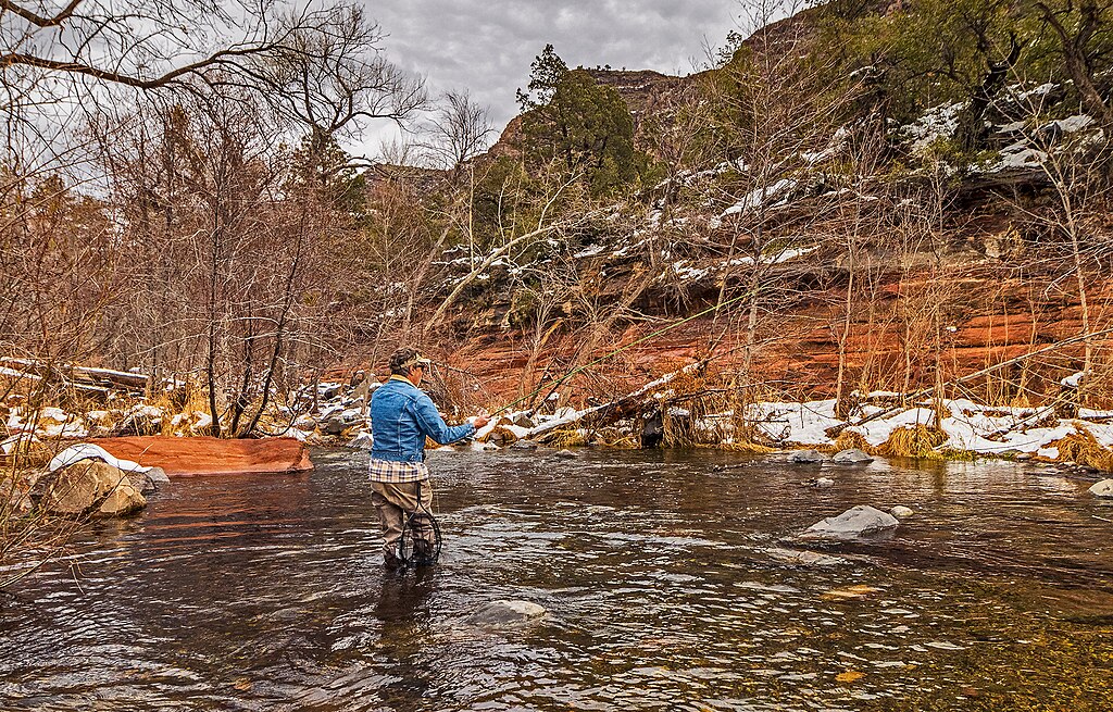
Oak Creek
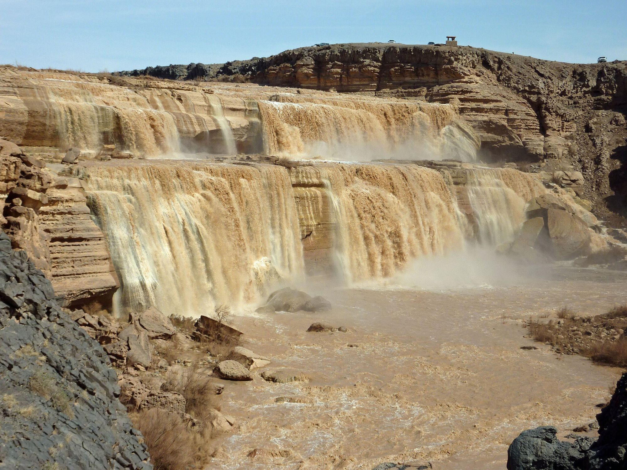
Little Colorado River
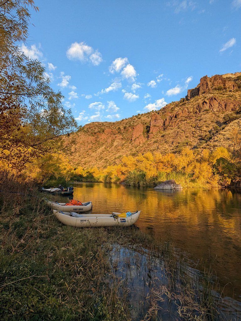
Verde River
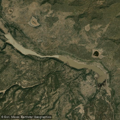
Upper Lake Mary
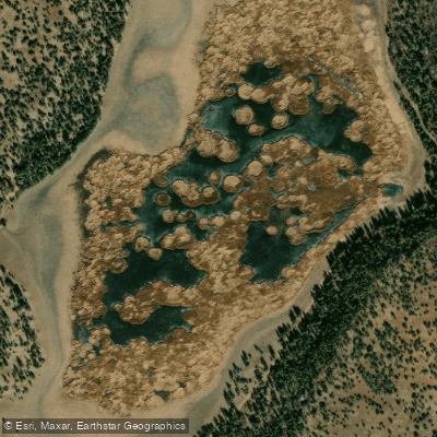
Marshall Lake
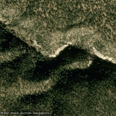
Walnut Creek
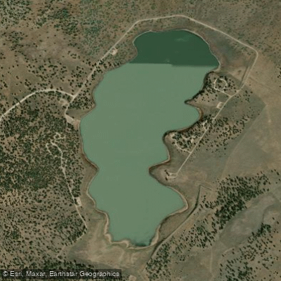
Ashurst Lake
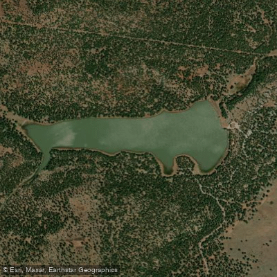
Dogtown Reservoir
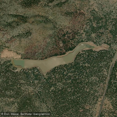
Kaibab Lake
Explore Arizona waters
Top paddling waters
Popular Cities
Loading popular cities...
Explore near Mormon Lake
Access points
Nearby waters
More in Arizona

Smarter Paddling Starts in the App.
Paddleways gives you everything you need to plan smarter, paddle better, and own every trip from first launch to takeout.