Marshall Lake
Marshall Lake
- Boat Ramps
- 0
- Access Points
- 1
- Campsites
- 3
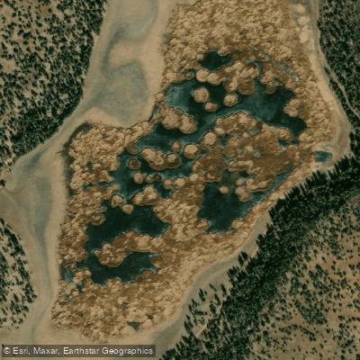
Marshall Lake, located near Flagstaff in Coconino National Forest, is a small marshy body of water with variable water levels that can significantly impact paddling opportunities. The lake is known to temporarily dry up during drought conditions and fall seasons, making it essential to check conditions before planning a trip.
When filled, the lake features a primitive boat ramp for access. Motors are restricted to 10hp or less, creating a quieter environment for paddlers. The lake is actively managed as a wildlife habitat through a partnership between Ducks Unlimited and the Arizona Game and Fish Department.
The lake serves as a significant wildlife viewing destination, particularly for bird enthusiasts. Paddlers can observe resident ospreys hunting, various waterfowl species, and seasonal bald eagles during winter months. The surrounding shoreline comes alive with golden sunflowers during summer months, adding to the scenic value.
Spring and fall offer the most favorable conditions when water is present, with typical temperatures ranging from 50°F to 80°F. Spring (March to May) typically sees temperatures between 60-80°F, while fall (September-November) ranges from 50-70°F.
Primitive campsites are available on the east side of the lake, providing views of the peaks through pine-sheltered locations. The lake's proximity to Lowell Observatory makes it an excellent base for stargazing after paddling.
The lake is located approximately 25 minutes from Flagstaff and is managed as part of Coconino National Forest. During years with sufficient water, the Arizona Game and Fish Department stocks the lake with trout, though paddlers should be aware that fishing activity may be present around the water.
Water access, boat ramps & amenities
Learn how to get on Marshall Lake. Uncover great paddling access points, boat ramps, and all the facilities you need for an unforgettable day on the water. Some locations shown may border or include private property. Always check property boundaries and applicable regulations before visiting. PaddleWays's Public & Private Land layer can help you plan your access with confidence.
Paddle smarter with real-time insights
Whether you're en route and conditions shift or you're looking for the best spot based on current flows, we enable you to make informed decisions on the fly.








Find Places to Paddle

Over 400,000 Places to Paddle
Every user gets free access to launch points, boat ramps, and public property parcels.


Water and weather conditions (10 day forecast)
See the best times to paddle Marshall Lake and check the forecast before you go.
No forecast data available.
Paddling near Marshall Lake
Oak Creek
Little Colorado River
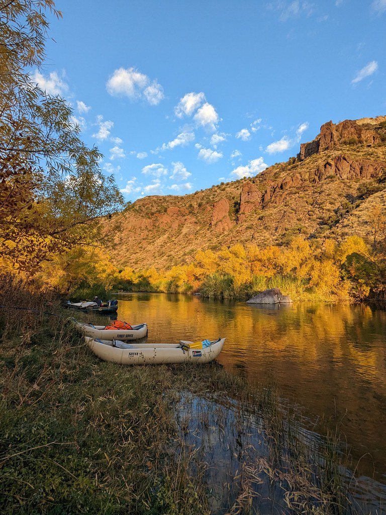
Verde River
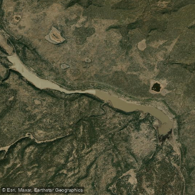
Upper Lake Mary
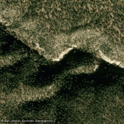
Walnut Creek
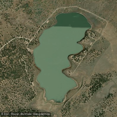
Ashurst Lake
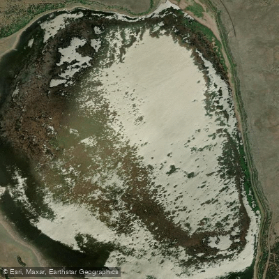
Mormon Lake
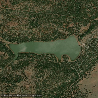
Dogtown Reservoir
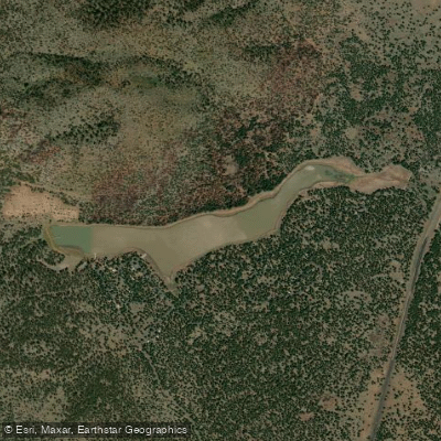
Kaibab Lake
Explore Arizona waters
Top paddling waters
Popular Cities
Loading popular cities...
Explore near Marshall Lake

Smarter Paddling Starts in the App.
Paddleways gives you everything you need to plan smarter, paddle better, and own every trip from first launch to takeout.