Upper Lake Mary
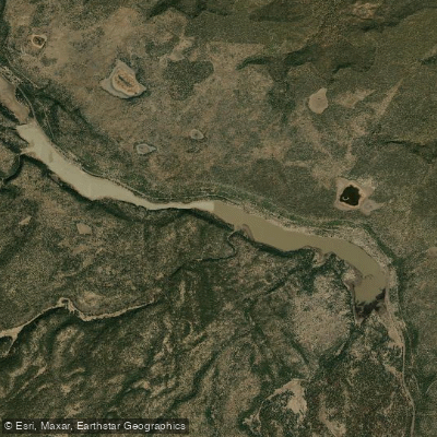
Upper Lake Mary
- Boat Ramps
- 3
- Access Points
- 4
- Campsites
- 5
Upper Lake Mary, located about 12 miles southeast of Flagstaff, Arizona, offers paddlers a scenic experience in the Coconino National Forest. This long, narrow reservoir stretches approximately 5 miles end-to-end, covering 450 acres when full, with a maximum depth of 38 feet. The lake's high elevation of 7,000 feet provides refreshing summer temperatures, rarely exceeding 90°F.
Paddlers can access the lake via two paved boat launch ramps at the parking area. Kayaks, canoes, and even rubber rafts are common sights alongside power boats and water-skiers. The lake is open year-round, with peak use from May through mid-October when nominal fees are charged.
The surrounding landscape features Ponderosa Pines and meadows, offering views of the San Francisco Peaks. Wildlife enthusiasts may spot bald eagles, ospreys, and Great Blue Herons along the lakeshore. In late summer, paddlers might encounter Pink Smartweed growing in shallow areas.
Water levels can fluctuate significantly based on annual rainfall and winter snowmelt, potentially affecting paddling conditions. The lake's water is murky, which may impact visibility.
Amenities include a picnic area with covered ramadas, tables, barbecue grills, and vault toilets. Two developed campgrounds, Lake View and Pine Grove, are located nearby. The lake also offers facilities for disabled anglers.
Paddlers should be aware of potential weather changes, including sudden wind shifts and the possibility of monsoon storms in late summer. The lake's long, narrow shape can create varied paddling experiences, from calm conditions to challenging wind-against-current situations.
For those interested in fishing, Upper Lake Mary is home to Northern Pike, rainbow trout, yellow bass, channel catfish, and sunfish. However, paddlers should exercise caution around the large Northern Pike, known for their sharp teeth.
Water access, boat ramps & amenities
Learn how to get on Upper Lake Mary. Uncover great paddling access points, boat ramps, and all the facilities you need for an unforgettable day on the water. Some locations shown may border or include private property. Always check property boundaries and applicable regulations before visiting. PaddleWays's Public & Private Land layer can help you plan your access with confidence.
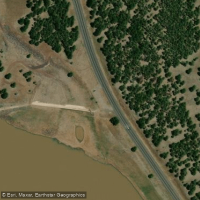
Paddle smarter with real-time insights
Whether you're en route and conditions shift or you're looking for the best spot based on current flows, we enable you to make informed decisions on the fly.








Find Places to Paddle

Over 400,000 Places to Paddle
Every user gets free access to launch points, boat ramps, and public property parcels.


Water and weather conditions (10 day forecast)
See the best times to paddle Upper Lake Mary and check the forecast before you go.
NEWMAN CANYON ABOVE UPPER LAKE MARY, AZ
Paddling near Upper Lake Mary
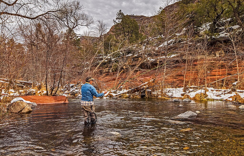
Oak Creek
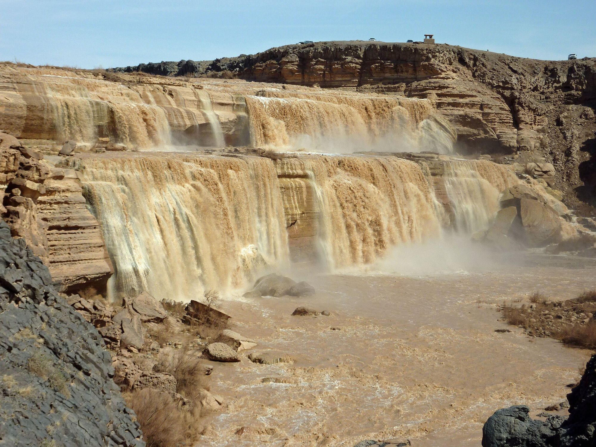
Little Colorado River
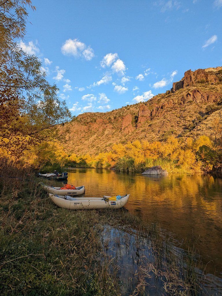
Verde River
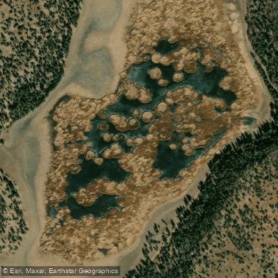
Marshall Lake
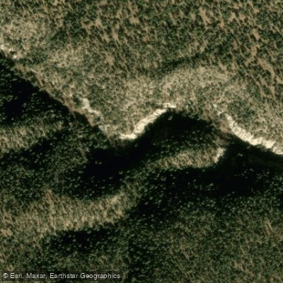
Walnut Creek
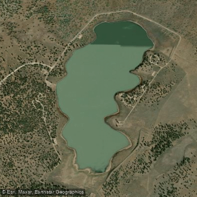
Ashurst Lake
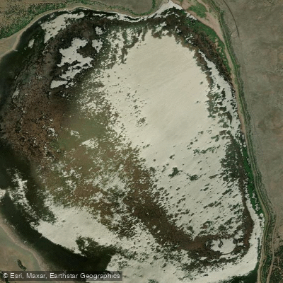
Mormon Lake
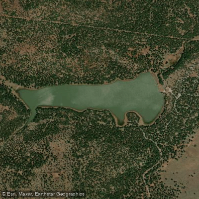
Dogtown Reservoir
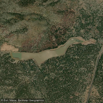
Kaibab Lake
Explore Arizona waters
Top paddling waters
Popular Cities
Loading popular cities...
Explore near Upper Lake Mary
Access points
Nearby waters
More in Arizona

Smarter Paddling Starts in the App.
Paddleways gives you everything you need to plan smarter, paddle better, and own every trip from first launch to takeout.