Curated by PaddleWays
RouteClass III–IV
- Distance
- 8.3 mi
- Paddle time
- ~2 hrs
- Best for
- Canoe
- Put-in → take-out
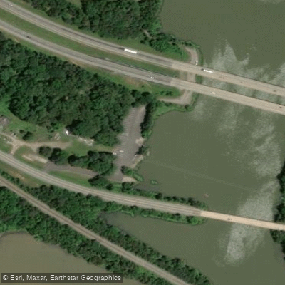
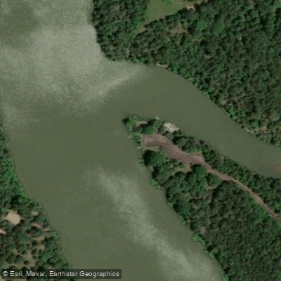
- Helton's Farm Access → Long Pool Access
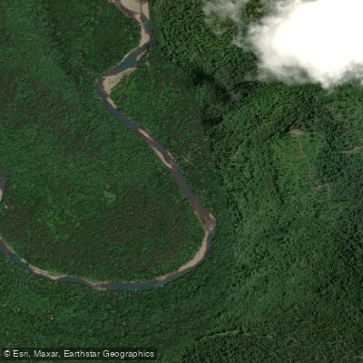
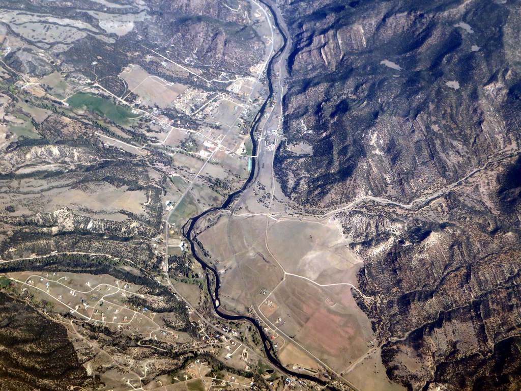
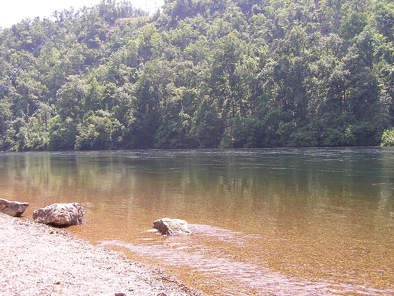
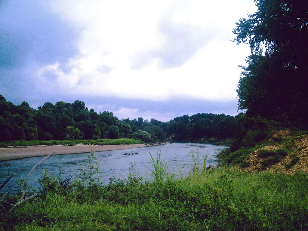
Big Piney Creek carves a 67-mile course through the Ozark Mountains of north-central Arkansas, originating near Limestone in Newton County and flowing southeastward through Johnson and Pope counties before joining the Arkansas River at Piney Bay, northeast of Knoxville. This classic Ozark stream alternates between swift-moving rapids and tranquil pools, creating a dynamic paddling environment that shifts dramatically with rainfall and seasonal water levels.
The creek divides naturally into distinct paddling sections. The upper stretch from Limestone (Forest Road 1004) to Long Pool Recreation Area in western Pope County features the most technical water, with Class I-III rapids that intensify during higher flows. Paddlers typically break this section into manageable segments: Limestone to Arkansas Highway 123 offers challenging Class I-III whitewater, while the Highway 123 to Treat (Helton Farm access, Forest Road 1805) segment mellows to Class I-II. The renowned whitewater section runs from Treat to Long Pool, delivering Class II-III rapids with named features that attract experienced paddlers during optimal water conditions.
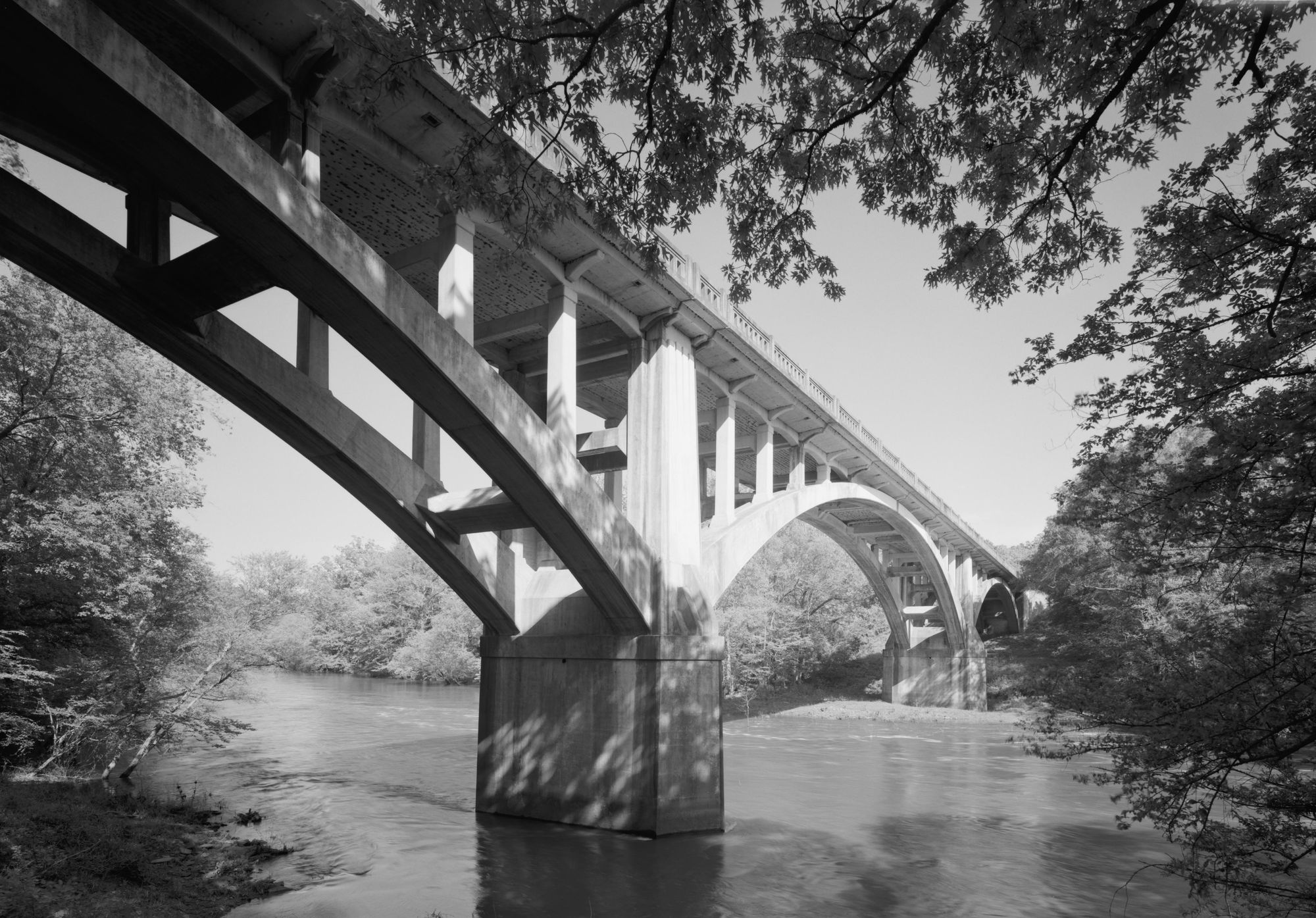
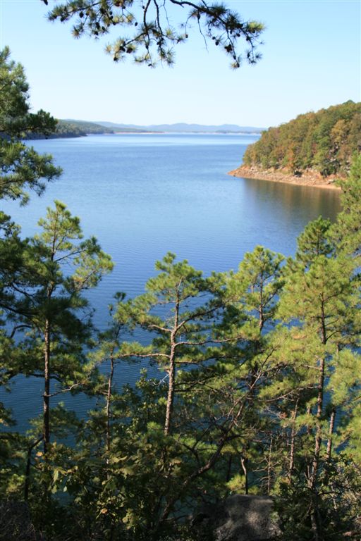
Below Long Pool, the character transforms considerably. The 5-mile run to the State Route 164 bridge (Twin Bridges/Moore's) provides Class I water better suited for anglers and less experienced paddlers. Downstream access points include Russian Bridge, an Arkansas Game and Fish Commission walk-in access, and Tate's Island Ford, all within Pope County. The final segment from Highway 164 to Lake Dardanelle transitions to flatwater as the creek approaches its confluence with the Arkansas River system.
A gauge reading of 1.5 feet at the State Route 164 bridge indicates ideal fishing conditions, while readings reaching 5 feet signal dangerously high water requiring experienced whitewater skills or alternative destinations.
The creek supports robust populations of smallmouth bass, spotted bass, and various sunfish species, making it a premier destination for stream fishing. Catfish inhabit the deeper pools and provide excellent table fare. Newton County portions fall under Ozark zone fishing regulations with a two-fish daily limit for smallmouths measuring 12 inches or longer. Outside Newton County, statewide limits of four bass at 10 inches minimum apply.
The creek flows through a mix of Ozark National Forest land and private property, requiring paddlers to respect shoreline boundaries and obtain permission before camping on private land.
Water levels fluctuate significantly with rainfall, transforming the creek from a gentle Class I float to a technical whitewater challenge within hours. Paddlers should check current conditions before launching and possess skills appropriate for the section attempted. The upper creek demands solid boat control and rapid-reading ability, while lower sections accommodate novice paddlers during moderate flows.
Curated routes
Hand-picked by the PaddleWays team, with put-ins, take-outs, paddle times and the hazards along the way.
RouteClass III–IV
RouteClass II–III
RouteClass II–III
RouteClass II–III
Hazards
No paddler has reported a hazard here yet, so these are the dams, falls and big rapids on our map. Hazards change with flows and storms, so check them before you launch.
From the community
Nobody has shared a trip on Big Piney Creek yet. Paddle it, then tell the next paddler how it went.
See exactly where the public can get on and off the river. Launch points and boat ramps are paired with PaddleWays' public land data so you know where you can legally land.
Public shoreline
60%of the river's shoreline is public
Flows, weather and a route-by-route verdict, so you know which stretch of the Big Piney Creek is worth paddling today.
Live flows, marked hazards and fresh trip reports from paddlers who were just on the water, all in one place.





Every user gets free access to launch points, boat ramps, and public property parcels.
Loading popular cities...
PaddleWays gives you everything you need to plan smarter, paddle better, and own every trip from first launch to takeout.