Curated by PaddleWays
RouteClass II
- Distance
- 3.9 mi
- Paddle time
- ~1.5 hrs
- Put-in → take-out
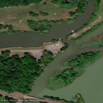
- Bayou Bluff Access → Hector Access
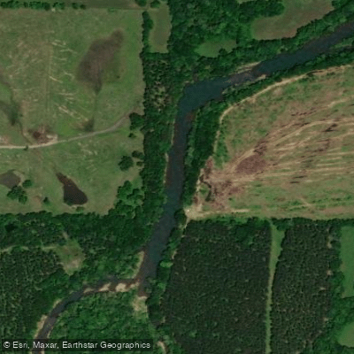
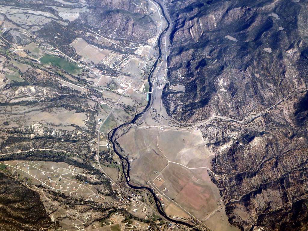
The Illinois Bayou is a scenic and challenging whitewater river system located in north-central Arkansas, primarily flowing through Pope County. This dynamic waterway consists of four main sections: the North Fork, Middle Fork, East Fork, and the main stem, which begins where the Middle and East Forks converge near Bayou Bluff.
As the Illinois Bayou works its way toward Russellville and the Arkansas River, it offers paddlers a thrilling mix of rapids and scenic views through the picturesque Ozark hill country. The river system provides a range of paddling opportunities suitable for various skill levels, with difficulty ratings generally ranging from Class I to III.
The main stem from Bayou Bluff to Hector offers a popular 8-mile stretch of Class II whitewater, perfect for intermediate paddlers looking for an exciting day trip. More advanced paddlers often seek out the Middle Fork's "Nogo Run" from Smyrna to Bayou Bluff, a 12.2-mile Class II-III section known for its technical rapids and beautiful surroundings.
For those seeking a mellower experience, the Hector to Scottsville section provides a 7.7-mile Class I-II run that's ideal for novice paddlers or those looking for a more relaxed float. The North Fork offers a challenging 14-mile Class II-III run from CR1000 to FS181, while the East Fork provides a scenic 11-mile Class II stretch through the East Fork Wilderness.
The Illinois Bayou is heavily dependent on rainfall, making spring and fall the best seasons for paddling when water levels are typically higher. Summer can offer opportunities as well, especially after heavy rains, but paddlers should be prepared for potentially low water conditions. Winter paddling is possible for experienced cold-water paddlers but requires extra precautions.
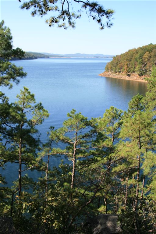
The river corridor is home to a diverse array of wildlife, including bald eagles, ospreys, and river otters. The surrounding Ozark National Forest boasts lush hardwood forests, providing excellent opportunities for wildlife viewing and photography. Paddlers may also encounter impressive rock formations and occasional waterfalls along the tributaries.
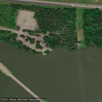
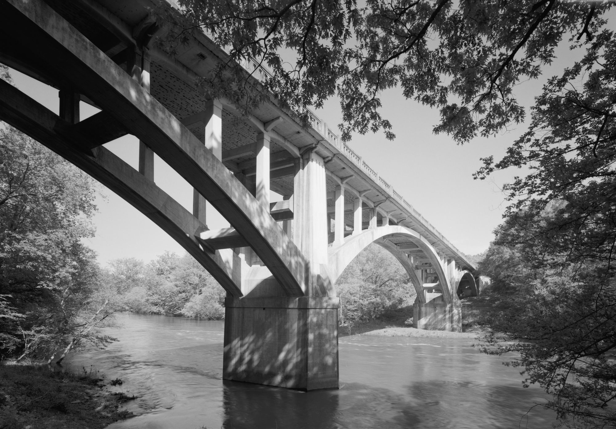
Key access points include Bayou Bluff Campground, a popular starting point with camping facilities, and various bridge crossings along Highway 27 and Highway 164. The nearby town of Hector serves as a convenient base for paddlers, offering supplies and services. Russellville, located downstream where the Illinois Bayou meets Lake Dardanelle, provides additional amenities and access to the Arkansas River.
The Illinois Bayou holds cultural significance as a longstanding recreational resource for locals and visitors alike. Its waters have long been prized for fishing, particularly for smallmouth bass, with some flathead catfish reaching impressive sizes of up to 50 pounds.
Safety considerations include being prepared for rapid water level changes, especially after heavy rains. Paddlers should always wear appropriate safety gear, including life jackets, and be aware of potential strainers and other obstacles. It's advisable to check current water levels and weather conditions before embarking on any trip.
For those seeking a multi-day adventure, combining runs on different forks of the Illinois Bayou can create an exciting 2-3 day trip. Camping options are available at Bayou Bluff Campground and other nearby Forest Service campgrounds, allowing paddlers to fully immerse themselves in the natural beauty of the Ozarks while experiencing the diverse character of this remarkable river system.
Curated routes
Hand-picked by the PaddleWays team, with put-ins, take-outs, paddle times and the hazards along the way.
RouteClass II
RouteClass I–II
RouteClass II–III
Hazards
No paddler has reported a hazard here yet, so these are the dams, falls and big rapids on our map. Hazards change with flows and storms, so check them before you launch.
From the community
Nobody has shared a trip on Illinois Bayou yet. Paddle it, then tell the next paddler how it went.
See exactly where the public can get on and off the river. Launch points and boat ramps are paired with PaddleWays' public land data so you know where you can legally land.
Public shoreline
31%of the river's shoreline is public
Most of the riverbank is private. Launch, land and camp only at public access points.
Flows, weather and a route-by-route verdict, so you know which stretch of the Illinois Bayou is worth paddling today.
Live flows, marked hazards and fresh trip reports from paddlers who were just on the water, all in one place.





Every user gets free access to launch points, boat ramps, and public property parcels.

Loading popular cities...
PaddleWays gives you everything you need to plan smarter, paddle better, and own every trip from first launch to takeout.