Curated by PaddleWays
RouteFlatwater
- Distance
- 87.8 mi
- Paddle time
- Multi-day
- Put-in → take-out
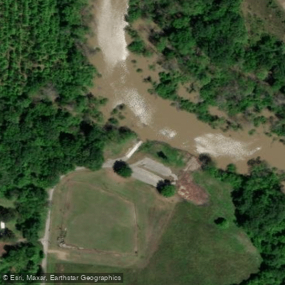
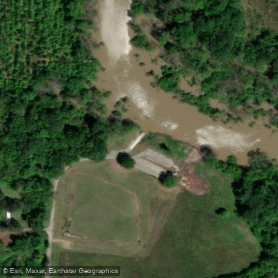
- Whitehall WMA Access → Marianna Boating Access
Prone to flooding and fecal coliform
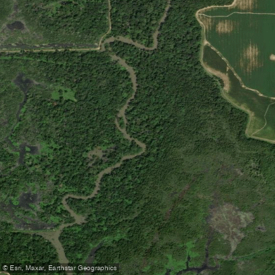
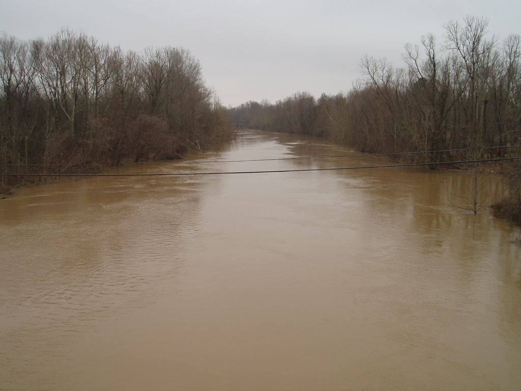
The L'Anguille River, whose name means eel in French, is a meandering 110-mile long tributary of the St. Francis River in eastern Arkansas. This lazy delta stream begins in Poinsett County and flows southward through the flat agricultural lands of the Mississippi Alluvial Plain, eventually joining the St. Francis River near the town of Marianna. As a flatwater river, the L'Anguille offers peaceful paddling suitable for beginners and families. The river's slow current and winding path create a relaxed environment perfect for wildlife viewing, fishing, and scenic float trips.
Paddlers can expect to see a variety of waterfowl, wading birds, and possibly alligators as they navigate through the cypress-tupelo swamps and bottomland hardwood forests that line the banks. Access to the river is available at various highway crossings throughout its course, with a popular put-in located at the U.S. 79 crossing near Marianna. Other access points can be found in Poinsett, Cross, and St. Francis counties. The river borders parts of the St. Francis National Forest, offering opportunities to combine paddling with hiking or camping adventures.
Fishing is a major draw on the L'Anguille, with anglers pursuing species like catfish, bass, and crappie. The river is also a hotspot for waterfowl hunting during the appropriate seasons. However, paddlers should be aware that the river is prone to flooding, especially during spring and early summer. Water levels can fluctuate rapidly, so checking current conditions is essential before planning a trip. The best times for paddling the L'Anguille are typically late spring through early fall when water levels are more stable and temperatures are pleasant. However, summer paddlers should be prepared for hot, humid conditions and bring plenty of water and sun protection.
While the L'Anguille doesn't offer whitewater excitement, it does present unique challenges such as navigating through tight bends, avoiding submerged logs, and dealing with occasional logjams. Paddlers should be prepared to portage around obstacles if necessary. The river holds historical significance as an important transportation route for early settlers and played a role in the timber harvests of the late 19th and early 20th centuries. Today, it serves as a vital part of the region's ecosystem and agricultural irrigation system.
Safety considerations include being aware of water quality issues due to agricultural runoff and the presence of alligators in some areas. Paddlers should also be cautious of motorboat traffic, especially near access points and populated areas. For those interested in multi-day trips, the L'Anguille's length and numerous access points make it possible to plan extended journeys, though camping options along the river are limited. Paddlers undertaking longer trips should be self-sufficient and prepared for the challenges of backcountry travel in a swampy environment.
Curated routes
Hand-picked by the PaddleWays team, with put-ins, take-outs, paddle times and the hazards along the way.
RouteFlatwater
Hazards
No paddler has reported a hazard here yet, so these are the dams, falls and big rapids on our map. Hazards change with flows and storms, so check them before you launch.
From the community
Nobody has shared a trip on L'Anguille River yet. Paddle it, then tell the next paddler how it went.
See exactly where the public can get on and off the river. Launch points and boat ramps are paired with PaddleWays' public land data so you know where you can legally land.
Public shoreline
0%of the river's shoreline is public
Most of the riverbank is private. Launch, land and camp only at public access points.
Flows, weather and a route-by-route verdict, so you know which stretch of the L'Anguille River is worth paddling today.
All Flow Stations
Live flows, marked hazards and fresh trip reports from paddlers who were just on the water, all in one place.





Every user gets free access to launch points, boat ramps, and public property parcels.

Loading popular cities...
PaddleWays gives you everything you need to plan smarter, paddle better, and own every trip from first launch to takeout.