Horseshoe Lake
Horseshoe Lake
- Boat Ramps
- 2
- Access Points
- 2
- Campsites
- 0
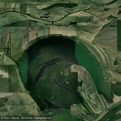
Horseshoe Lake in Crittenden County, Arkansas, is a 2,364-acre oxbow lake offering paddlers a mix of open water and sheltered cypress stands. Located approximately 40 miles from Memphis and eight miles east of Hughes, this natural lake ranks as the second-largest in Arkansas and provides accessible paddling for various skill levels.
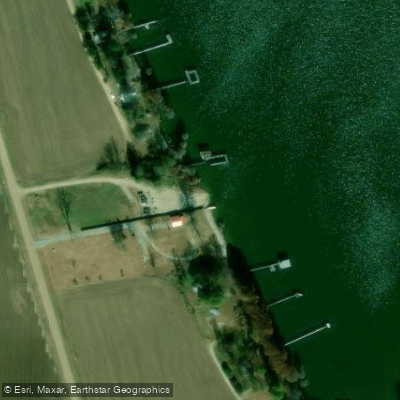
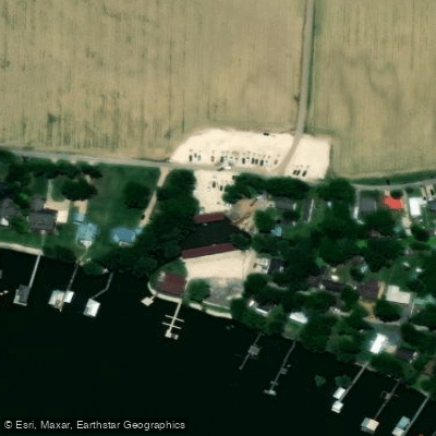
The primary access point is the Nancy and Pat Bonds Ramp at 10584 Horseshoe Lake Circle (Highway 147) on the southwest bank. This facility was upgraded in summer 2018 with a concrete ramp and paved parking oriented primarily for powerboats, though launching canoes and kayaks is straightforward.
The lake's character divides between mostly open water and a large stand of old cypress trees on the inside bend, while private homes line the outside bend. The cypress areas offer the most interesting paddling, with opportunities to navigate among ancient trees and explore quieter waters away from boat traffic. These sheltered zones provide respite from wind on the open sections.
Paddlers should exercise caution regarding motorized boat traffic, as there is no horsepower limit on the lake. Water skiers, jet skiers, and fast fishing boats may be encountered, particularly during warmer months and weekends.
The controlled water level means the lake can generally be paddled year-round except during extreme drought.
Wildlife viewing includes waterfowl and wading birds, particularly in the cypress stands and along vegetated shorelines. The lake is known for excellent crappie fishing, with anglers commonly catching largemouth bass and catfish as well.
During waterfowl season, portions of the lake see hunting activity. Commercial fishing regulations apply to this water body, and a special crappie limit of 50 fish daily reflects the productive fishery. Paddlers should be aware of commercial fishing gear and respect posted restrictions during designated periods.
Water access, boat ramps & amenities
Learn how to get on Horseshoe Lake. Uncover great paddling access points, boat ramps, and all the facilities you need for an unforgettable day on the water. Some locations shown may border or include private property. Always check property boundaries and applicable regulations before visiting. PaddleWays's Public & Private Land layer can help you plan your access with confidence.
Paddle smarter with real-time insights
Whether you're en route and conditions shift or you're looking for the best spot based on current flows, we enable you to make informed decisions on the fly.








Find Places to Paddle

Over 400,000 Places to Paddle
Every user gets free access to launch points, boat ramps, and public property parcels.


Water and weather conditions (10 day forecast)
See the best times to paddle Horseshoe Lake and check the forecast before you go.
No forecast data available.
Paddling near Horseshoe Lake
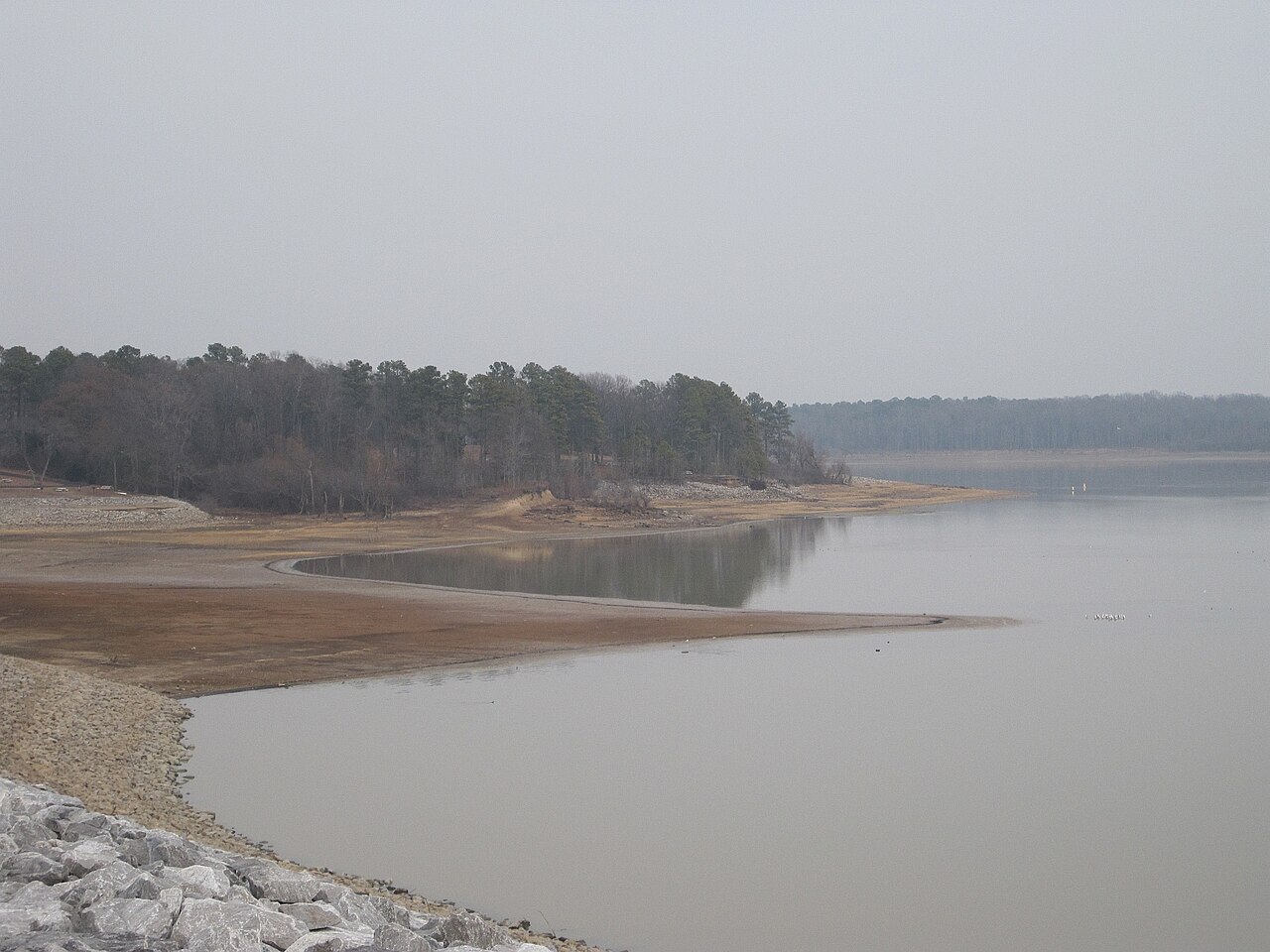
Arkabutla Lake

Mississippi River
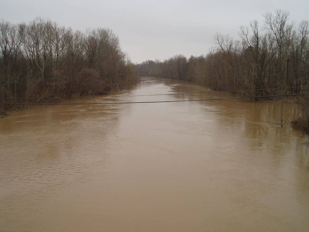
Coldwater River
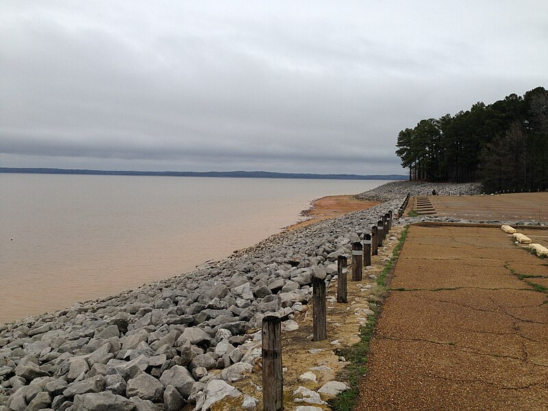
Sardis Lake
Little Tallahatchie River
Thunderbird Lake
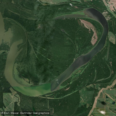
Tunica Lake
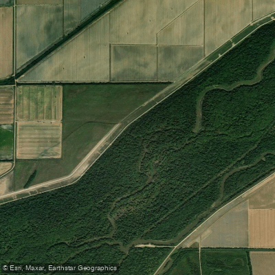
Saint Francis River
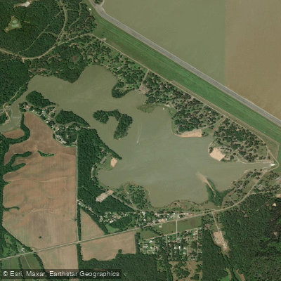
Lower Lake
Explore Arkansas waters
Top paddling waters
Popular Cities
Loading popular cities...
Explore near Horseshoe Lake

Smarter Paddling Starts in the App.
Paddleways gives you everything you need to plan smarter, paddle better, and own every trip from first launch to takeout.