Lake Catherine
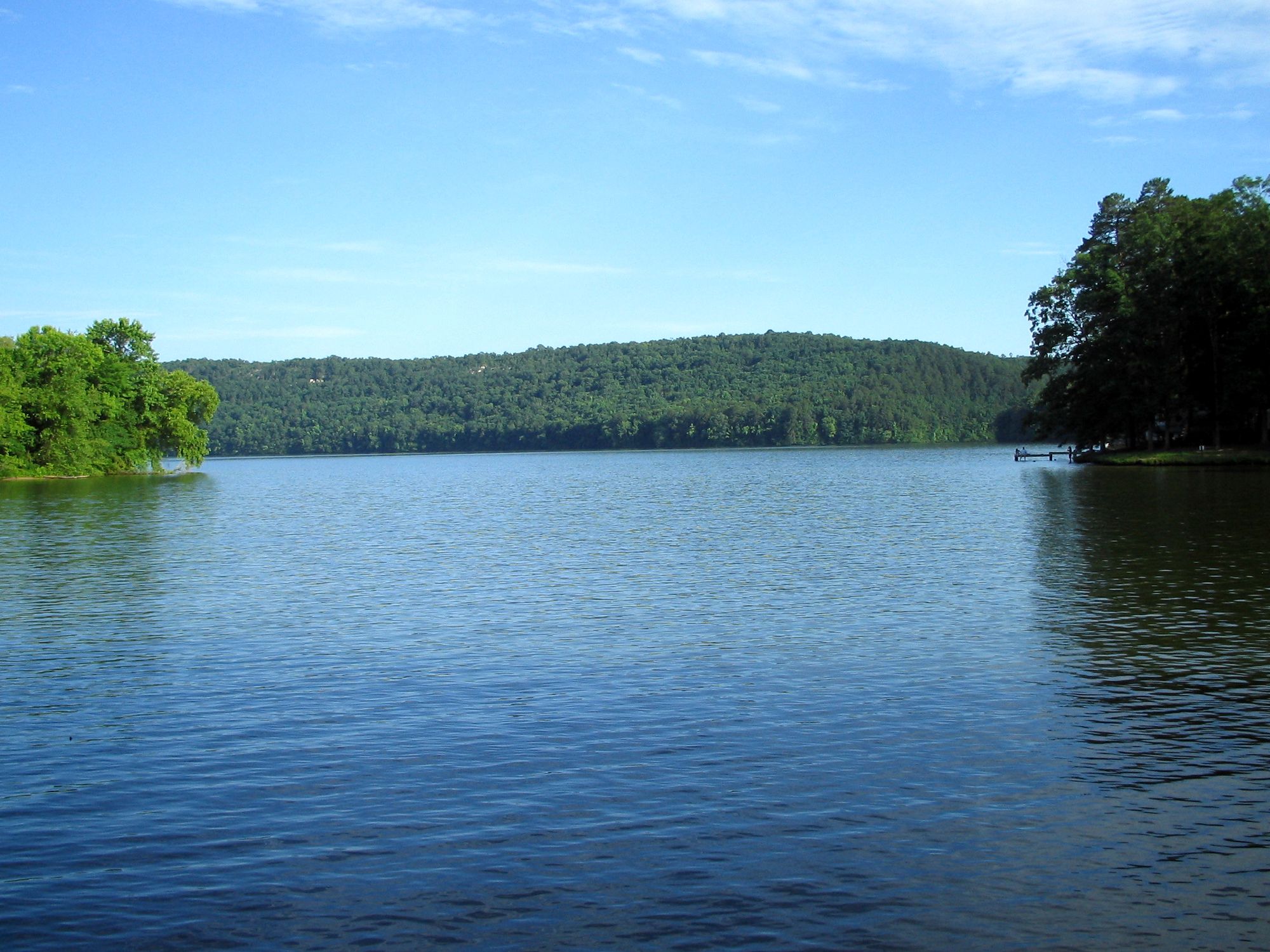
Lake Catherine
- Boat Ramps
- 8
- Access Points
- 12
- Campsites
- 1
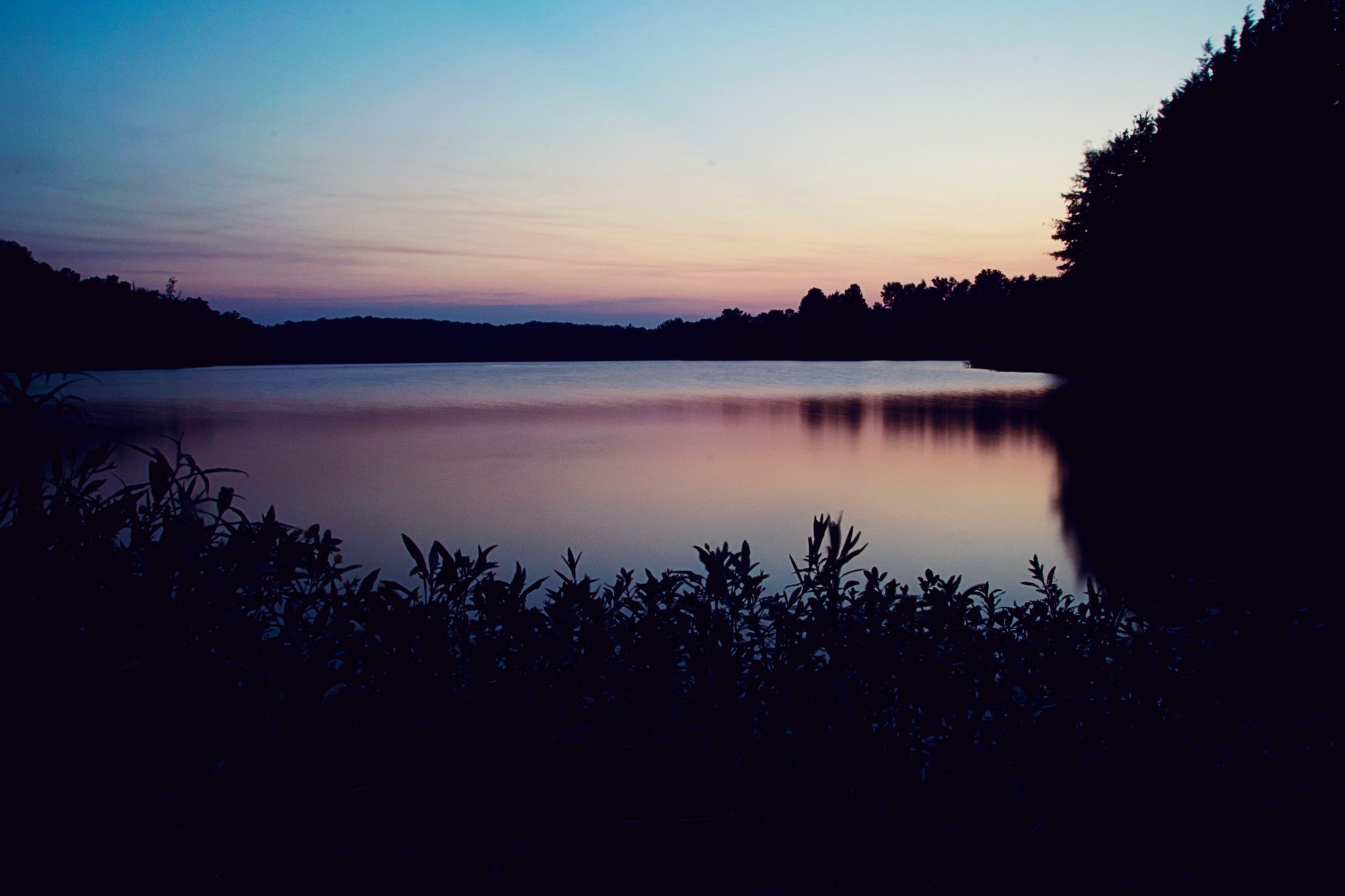
Lake Catherine is a scenic reservoir located within Lake Catherine State Park in Arkansas. The lake offers peaceful paddling opportunities surrounded by lush, forested shores and rolling hills. Kayakers and paddleboarders can explore the lake's quiet coves and inlets while taking in picturesque views.
A unique feature of Lake Catherine is Falls Creek Falls, a 10-foot waterfall accessible by kayak or hiking trail. Paddlers can navigate to a small cove formed by the falls, park their boats, and take a short walk to view the cascading water. The falls create a serene atmosphere with the sound of rushing water echoing through the surrounding forest canopy.
The lake has a marina that offers kayak rentals during the summer months. Paddlers should be aware that motorized boats also use the lake, so caution is advised. The clear waters and forested shoreline provide opportunities to spot wildlife like eagles and herons.
Lake Catherine State Park offers additional amenities for paddlers, including campgrounds, a beach, and hiking trails. This makes it convenient to plan multi-day paddling trips or combine paddling with other outdoor activities. The park's official website provides details on hours, admission fees, and regulations.
The lake is generally best for paddling from spring through fall when temperatures are moderate. Paddlers should check water levels and dam release schedules, as these can affect conditions on the lake. Overall, Lake Catherine offers a tranquil paddling experience ideal for nature lovers and those seeking a scenic escape in Arkansas.
Water access, boat ramps & amenities
Learn how to get on Lake Catherine. Uncover great paddling access points, boat ramps, and all the facilities you need for an unforgettable day on the water. Some locations shown may border or include private property. Always check property boundaries and applicable regulations before visiting. PaddleWays's Public & Private Land layer can help you plan your access with confidence.
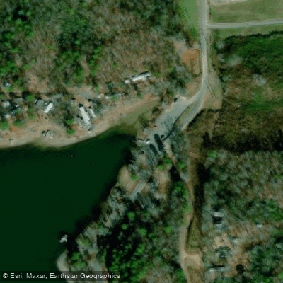
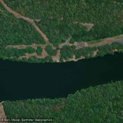
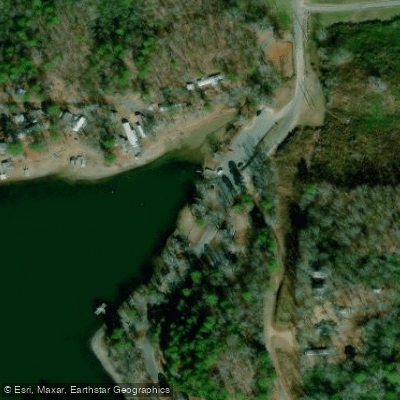
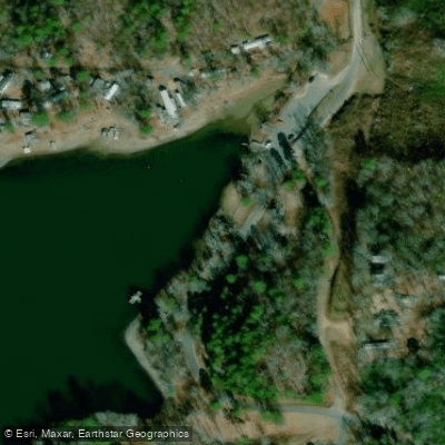
Paddle smarter with real-time insights
Whether you're en route and conditions shift or you're looking for the best spot based on current flows, we enable you to make informed decisions on the fly.








Find Places to Paddle

Over 400,000 Places to Paddle
Every user gets free access to launch points, boat ramps, and public property parcels.


Water and weather conditions (10 day forecast)
See the best times to paddle Lake Catherine and check the forecast before you go.
Ouachita River at Remmel Dam above Jones Mill, AR
All Flow Stations
Paddling near Lake Catherine
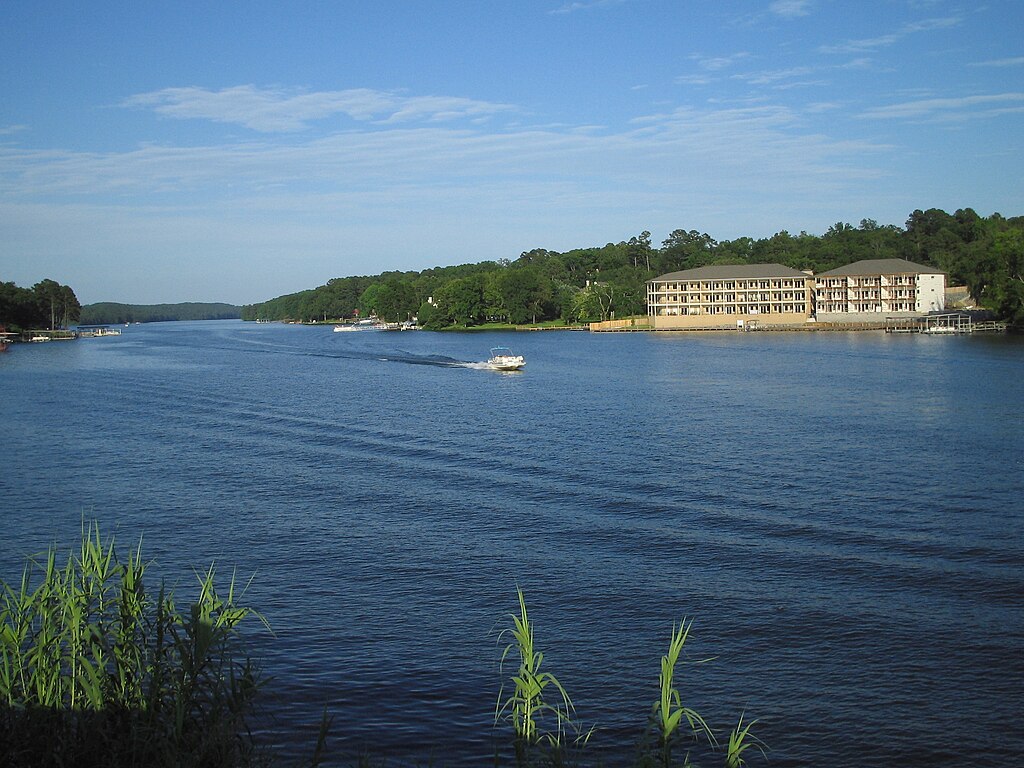
Lake Hamilton
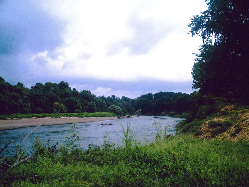
Ouachita River
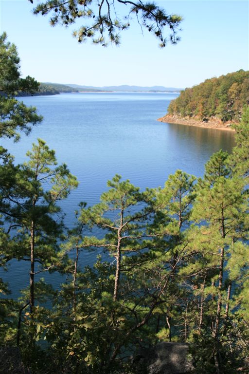
Lake Ouachita
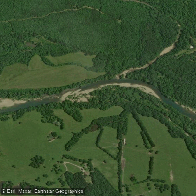
Caddo River
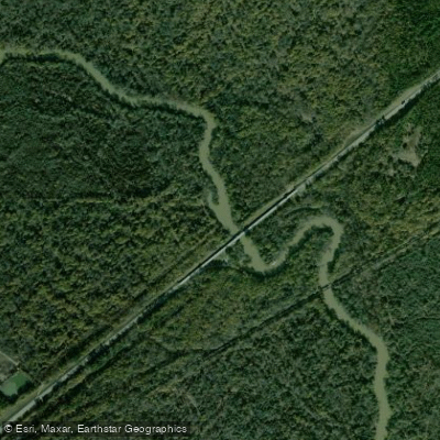
Saline River
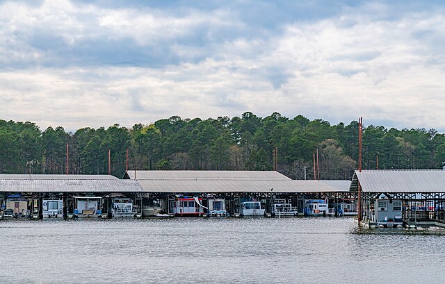
Lake Greeson

Arkansas River
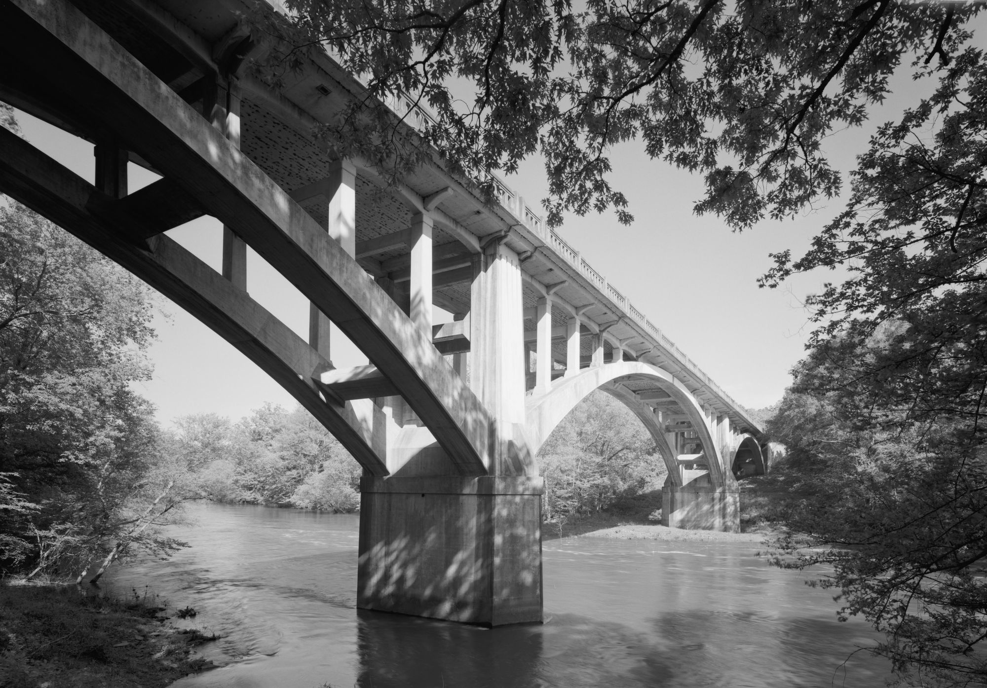
Fourche LaFave River
Lake Conway
Explore Arkansas waters
Top paddling waters
Popular Cities
Loading popular cities...
Explore near Lake Catherine
Access points
- Remmel Dam Park Boat Ramp, Jack's Landing
- Carpenter Dam Boat Ramp
- Lake Catherine State Park Boat Ramp
- Carpenter Dam Boat Ramp East Ramp
- Carpenter Dam Boat Ramp West Ramp
- Remmel Dam Road Boat Ramp
- Catherine's Landing Boat Ramp
- Carpenter Dam Park Boat Ramp
- Remmel Access Courtesy Dock #1
- Carpenter Dam Access Courtesy Dock
- Remmel Access Courtesy Dock #2
- Remmel Access Courtesy Dock #3
- All 104 spots
Nearby waters
More in Arkansas

Smarter Paddling Starts in the App.
Paddleways gives you everything you need to plan smarter, paddle better, and own every trip from first launch to takeout.