Lake Des Arc
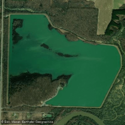
Lake Des Arc
- Boat Ramps
- 2
- Access Points
- 2
- Campsites
- 1
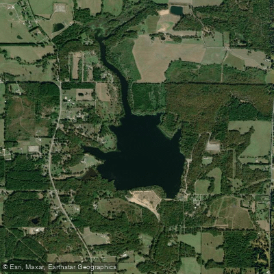
Lake Des Arc is a 280-acre impoundment located 5 miles north of Des Arc, Arkansas. Created in 1966, the lake features an average depth of 8 feet with a maximum depth of 25 feet. Access is available via a boat ramp reached by taking Highway 11 North from Des Arc for 3 miles, then turning right onto Des Arc Lake Road.
Paddlers should be aware of numerous submerged stumps off the main creek channel, which can create hazardous conditions. The lake bottom consists of mud and silt, with rip-rap along the levee. Visible cover includes treetops, brush piles, standing timber, and islands. Aquatic vegetation includes American lotus and American pondweed.
The lake offers a handicapped-accessible fishing pier and primitive campsites along the shoreline, though no electrical hookups are available. The surrounding Bayou Des Arc Wildlife Management Area provides opportunities to observe wetland birds and Neotropical migrants. Great blue herons are commonly seen around the lake.
The Arkansas Game and Fish Commission has installed various PVC structures throughout the lake to enhance fish habitat. These structures are marked with GPS coordinates available through the Commission's website. While primarily managed for fishing, the lake accommodates non-motorized watercraft.
The lake's location in Prairie County places it in a historically significant river town area. The adjacent 953-acre wildlife management area consists of bottomland hardwood habitat. Medical services and basic supplies are available in the nearby town of Des Arc.
For safety, all boaters must carry proper personal flotation devices. The lake is owned and managed by the Arkansas Game and Fish Commission, and standard AGFC lake regulations apply.
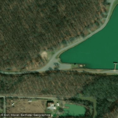
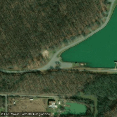
Water access, boat ramps & amenities
Learn how to get on Lake Des Arc. Uncover great paddling access points, boat ramps, and all the facilities you need for an unforgettable day on the water. Some locations shown may border or include private property. Always check property boundaries and applicable regulations before visiting. PaddleWays's Public & Private Land layer can help you plan your access with confidence.
Paddle smarter with real-time insights
Whether you're en route and conditions shift or you're looking for the best spot based on current flows, we enable you to make informed decisions on the fly.








Find Places to Paddle

Over 400,000 Places to Paddle
Every user gets free access to launch points, boat ramps, and public property parcels.


Water and weather conditions (10 day forecast)
See the best times to paddle Lake Des Arc and check the forecast before you go.
No forecast data available.
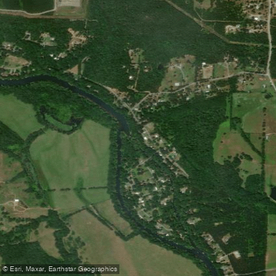
Paddling near Lake Des Arc
Little Red River

White River
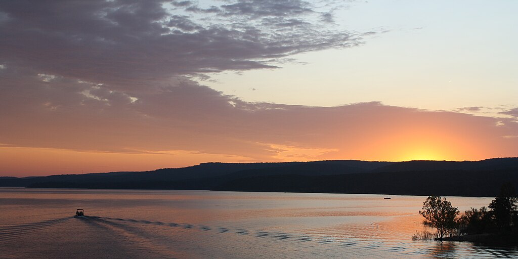
Greers Ferry Lake
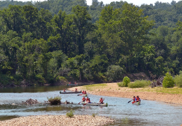
Black River

Lake Conway

Arkansas River
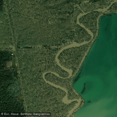
Bayou Meto
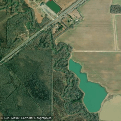
Bayou Des Arc
Lake Bald Knob
Explore Arkansas waters
Top paddling waters
Popular Cities
Loading popular cities...
Explore near Lake Des Arc
Access points
Nearby waters
More in Arkansas

Smarter Paddling Starts in the App.
Paddleways gives you everything you need to plan smarter, paddle better, and own every trip from first launch to takeout.