Bayou Meto
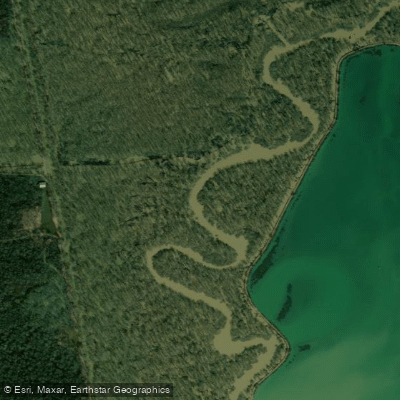
Bayou Meto
- Boat Ramps
- 2
- Access Points
- 2
- Campsites
- 22
The Bayou Meto is a unique waterway located in central Arkansas, offering a serene urban paddling experience in the heart of Jacksonville. The Bayou Meto Urban Canoe Trail is a premier flat-water paddling destination, stretching for two miles through a shaded corridor in Jacksonville. This trail, part of the Arkansas Game and Fish Commission's Urban Canoe Trail program, provides canoeists and kayakers with gentle waters ideal for exploration and relaxation. Paddlers can put in at the W. Main Access in Jacksonville and take out near US 67/167.
The trail offers a peaceful escape into nature, despite its urban setting. Along the way, paddlers are treated to unique views of large cypress trees, beaver dams, and a diverse array of flora not visible from any other vantage point. The difficulty level of the Bayou Meto Urban Canoe Trail is classified as flatwater, making it suitable for paddlers of all skill levels, including beginners and families. The calm waters and lack of rapids or strong currents allow for a leisurely pace and easy navigation.
While specific seasonal patterns vary, the urban nature of the trail likely makes it accessible year-round, weather permitting. Spring and fall might offer the most comfortable temperatures and picturesque scenery. Notable wildlife in the area includes beavers, evidenced by their dams along the trail. The surrounding ecosystem supports a rich variety of plant life, creating a lush, green corridor through the urban landscape.
In addition to the Urban Canoe Trail, paddlers can explore another section of Bayou Meto near the 107 Bridge in the Gravel Ridge area. This section features a large beaver pond near the put-in, offering another unique paddling experience in the region.
The Bayou Meto Urban Canoe Trail represents a successful integration of natural spaces within an urban environment, showcasing Jacksonville's commitment to outdoor recreation and conservation. Safety considerations include standard paddling precautions such as wearing life jackets, checking weather conditions before launching, and being aware of potential underwater hazards like submerged logs or debris. The proximity of these paddling sections to Jacksonville makes them ideal for day trips or short excursions, allowing visitors to explore the natural beauty of central Arkansas from a unique perspective on the water.
Water access, boat ramps & amenities
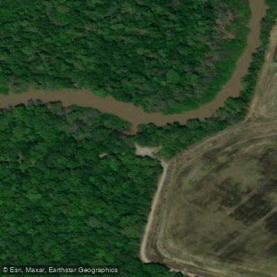
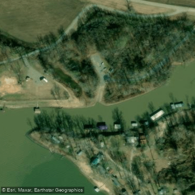
Learn how to get on Bayou Meto. Uncover great paddling access points, boat ramps, and all the facilities you need for an unforgettable day on the water. Some locations shown may border or include private property. Always check property boundaries and applicable regulations before visiting. PaddleWays's Public & Private Land layer can help you plan your access with confidence.
Paddle smarter with real-time insights
Whether you're en route and conditions shift or you're looking for the best spot based on current flows, we enable you to make informed decisions on the fly.








Find Places to Paddle

Over 400,000 Places to Paddle
Every user gets free access to launch points, boat ramps, and public property parcels.


Water and weather conditions (10 day forecast)
See the best times to paddle Bayou Meto and check the forecast before you go.
Bayou Meto near Lonoke, AR
All Flow Stations
Paddling near Bayou Meto

Arkansas River
Lake Conway

White River
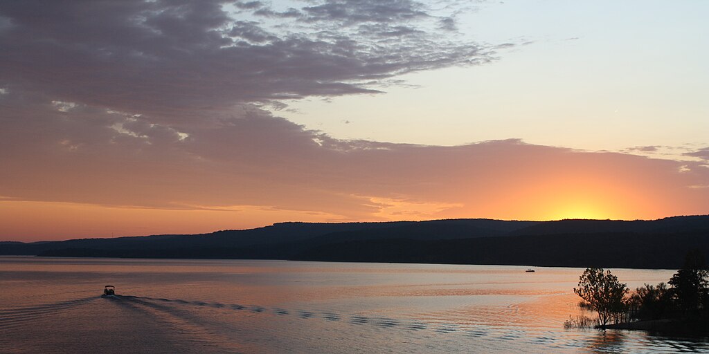
Greers Ferry Lake
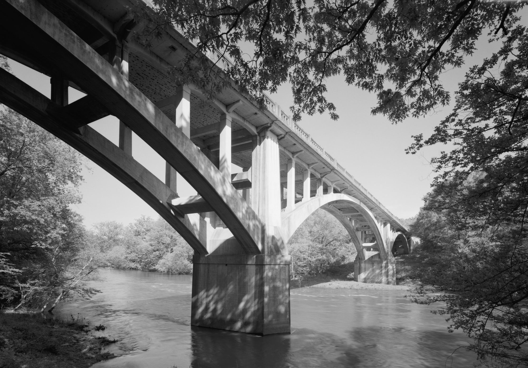
Fourche LaFave River
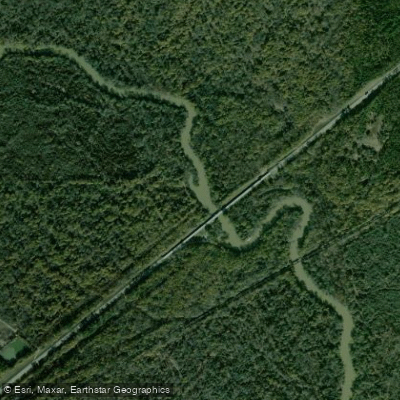
Saline River
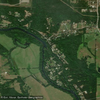
Little Red River
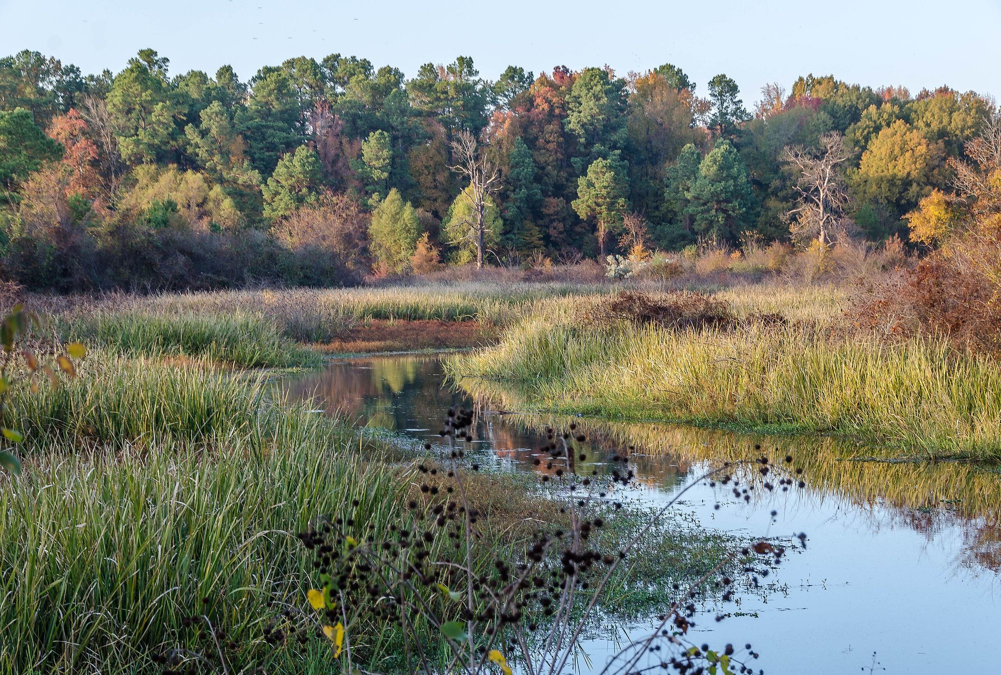
Bayou Bartholomew
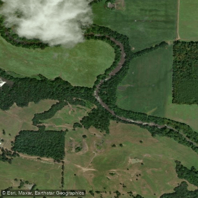
Petit Jean River
Explore Arkansas waters
Top paddling waters
Popular Cities
Loading popular cities...
Explore near Bayou Meto
Access points
Nearby waters
More in Arkansas

Smarter Paddling Starts in the App.
Paddleways gives you everything you need to plan smarter, paddle better, and own every trip from first launch to takeout.