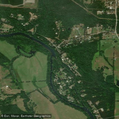
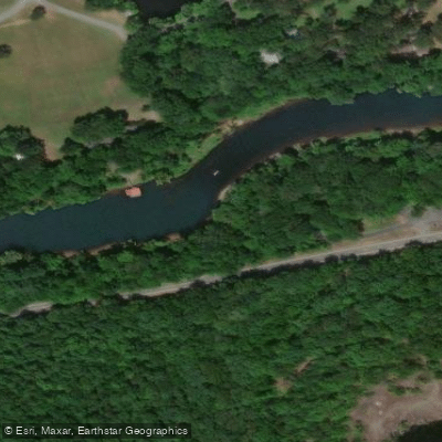
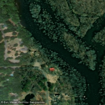
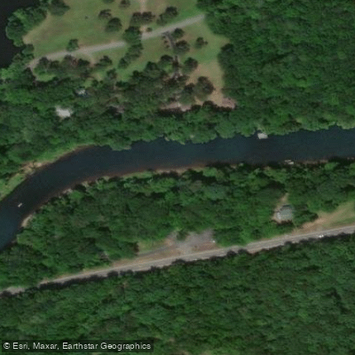
The Little Red River is a scenic waterway in north-central Arkansas, originating in the Ozark Mountains and flowing southeast for approximately 102 miles before joining the White River. Its major tributaries include the South Fork, Middle Fork, and Archey Fork, which converge to form the main stem above Greers Ferry Lake. The river system drains a watershed of about 1,800 square miles.
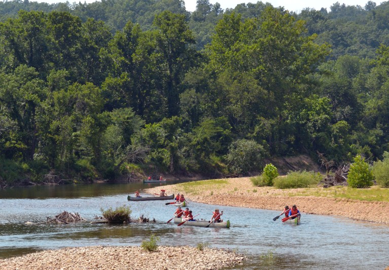
Paddling opportunities abound on the Little Red, with sections suitable for various skill levels. Below Greers Ferry Dam, a 32-mile tailwater stretch offers year-round floating through scenic Ozark landscapes. Upstream, the forks provide more challenging whitewater runs when water levels permit. The Middle Fork from Lydalisk to Shirley (10 miles) and Archey Fork from Bluffton Preserve to Clinton (9.5 miles) are popular Class II-III runs. The South Fork offers a longer 26.5-mile stretch from Brushy Fork to Highway 65 with Class II-III rapids. Overall difficulty ranges from flatwater paddling below the dam to Class III whitewater on the upper forks. Intermediate skills are recommended for most sections, with solid whitewater experience needed for higher water runs on the forks.
Spring and early summer typically offer the best paddling conditions on the upper reaches, which are rain-dependent. The dam-controlled lower section can be paddled year-round, but flows vary based on hydroelectric generation schedules.
The river corridor supports diverse Ozark flora and fauna, including bald eagles, ospreys, and the endangered speckled pocketbook mussel. Trout fishing is excellent in the cold tailwaters below Greers Ferry Dam. Key landmarks include the Swinging Bridge (Barnett Access), Lobo Landing, and the historic Pangburn Bridge. The river passes near the towns of Heber Springs, Pangburn, and Clinton, offering various access points.
The Little Red played a significant role in the region's development, powering mills and supporting communities before being dammed in 1962 as part of a flood control project. Today, it's a vital resource for recreation and wildlife.
Safety considerations include checking dam release schedules and water levels before paddling. Life jackets are required, and caution should be exercised around strainers and during high water events. Multi-day trips are possible on the upper forks with proper planning and camping arrangements on adjacent public lands or with landowner permission.