Lake Fayetteville
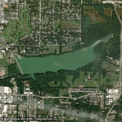
Lake Fayetteville
- Boat Ramps
- 1
- Access Points
- 1
- Campsites
- 0
Lake Fayetteville encompasses 194 acres of water within a 458-acre park area. The lake operates as a no-wake zone, creating safe conditions for paddling activities. A boat dock and marina on the north side of the lake at the dam site serves as the primary access point, where kayaks, canoes, and pedal boats are available for rent.
Permits are required for all paddling activities and must be purchased at the Boat House/Lake Office before accessing the water. Daily non-motorized boating permits cost $3 per person, with annual permits available for $20. The lake is open daily from sunrise to sunset, though it closes on Thanksgiving Day and from December 23rd through January 14th.
A 5.5-mile nature trail and 4.3-mile hard-surface multi-use trail circle the lake, providing scenic views for paddlers. The Botanical Garden of the Ozarks borders the lake, adding to its aesthetic appeal. Originally constructed in 1948 as a drinking water source, Lake Fayetteville has been dedicated to recreational use since the establishment of the Beaver Water District in 1959.
Important regulations specify that all paddling must be done from boats - no wading, swimming, or belly boats are permitted. Life jackets are required at all times while on the water. Recent water quality studies have prompted city initiatives to improve and protect the lake's watershed, though specific water quality conditions were not detailed.
Facilities at the marina include boat rentals, fishing equipment, and bike rentals. The lake environment includes Veterans Memorial Park and the North Shore Park, offering additional amenities for visitors. For paddlers interested in skill development, the city's Outdoor Fayetteville program offers beginner kayaking classes teaching basic flat-water paddling techniques.
Water access, boat ramps & amenities
Learn how to get on Lake Fayetteville. Uncover great paddling access points, boat ramps, and all the facilities you need for an unforgettable day on the water. Some locations shown may border or include private property. Always check property boundaries and applicable regulations before visiting. PaddleWays's Public & Private Land layer can help you plan your access with confidence.
Paddle smarter with real-time insights
Whether you're en route and conditions shift or you're looking for the best spot based on current flows, we enable you to make informed decisions on the fly.








Find Places to Paddle

Over 400,000 Places to Paddle
Every user gets free access to launch points, boat ramps, and public property parcels.


Water and weather conditions (10 day forecast)
See the best times to paddle Lake Fayetteville and check the forecast before you go.
No forecast data available.
Paddling near Lake Fayetteville

White River
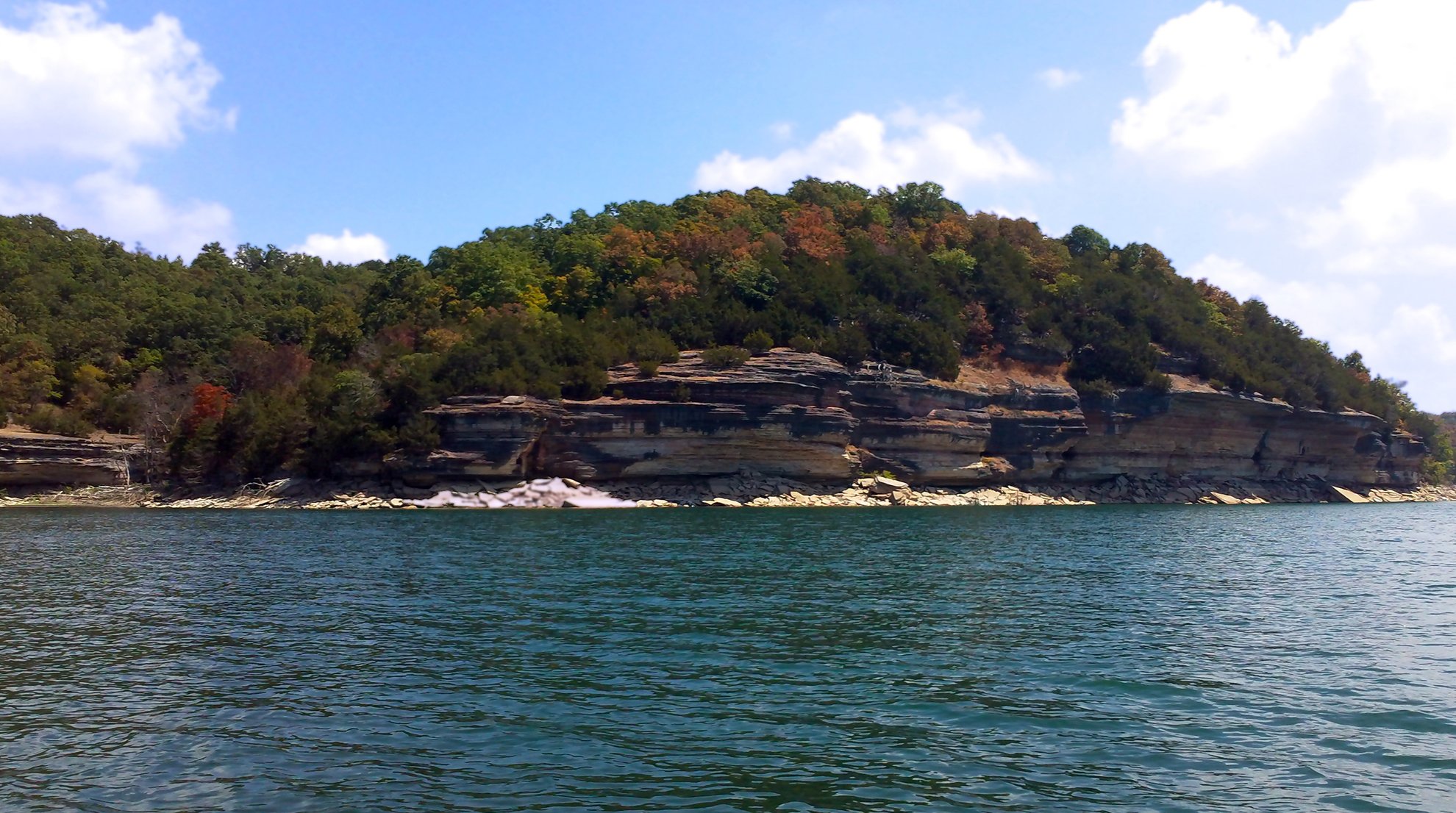
Beaver Lake
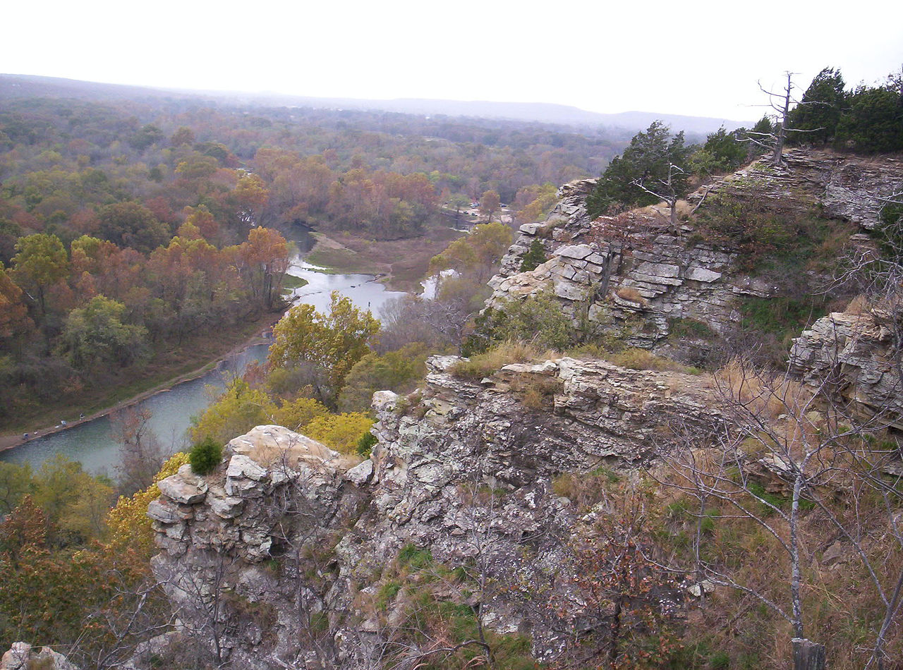
Illinois River
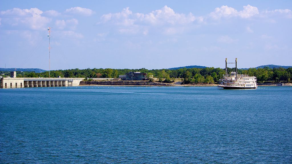
Table Rock Lake
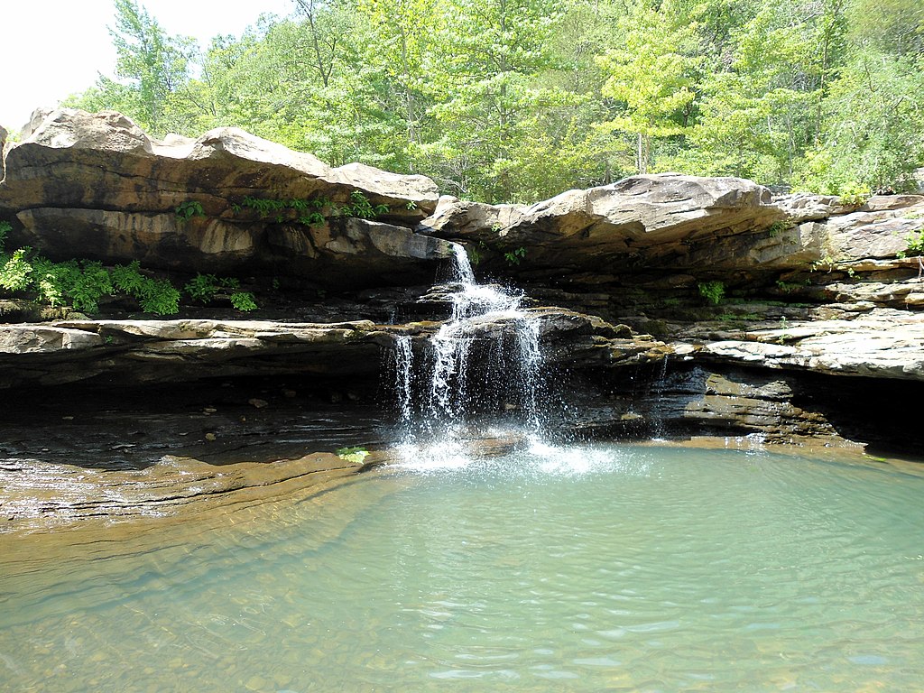
Kings River
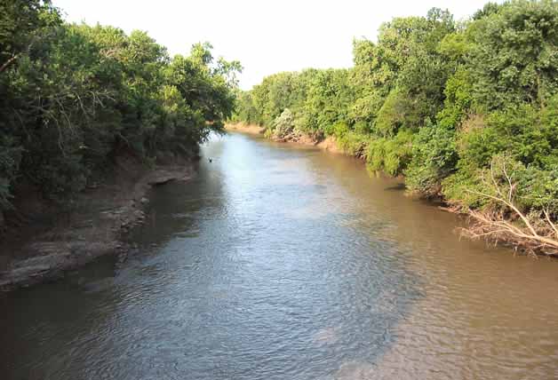
Neosho River
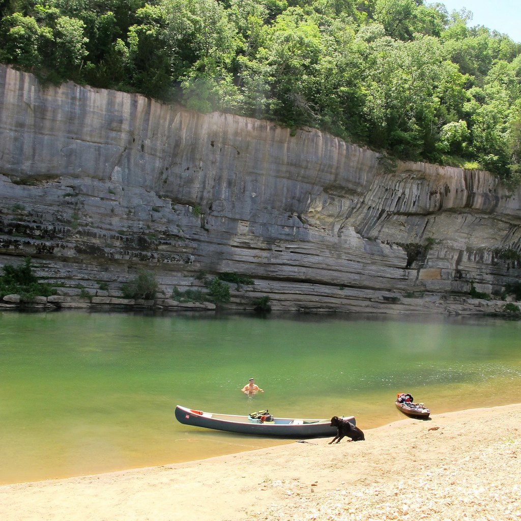
Buffalo River
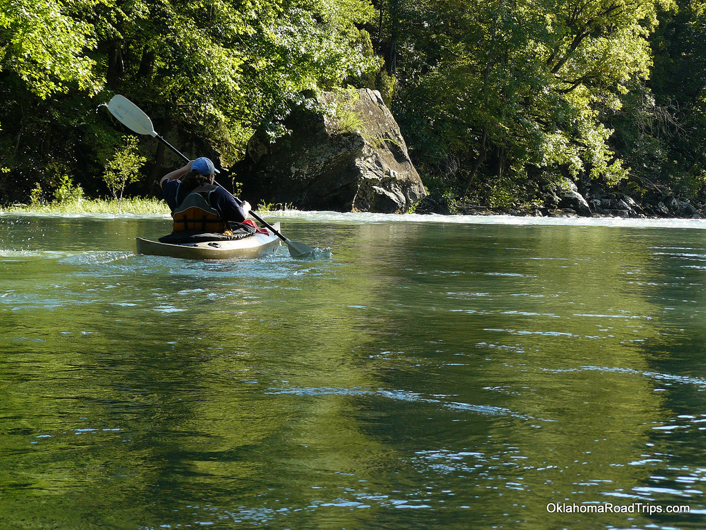
Mulberry River
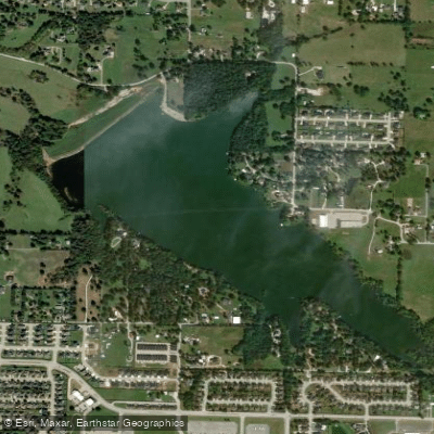
Lake Elmdale
Explore Arkansas waters
Top paddling waters
Popular Cities
Loading popular cities...
Explore near Lake Fayetteville
Access points
- Lake Fayetteville Boat Ramp
- Clear Creek Bridge
- Hog Wild Branch Bridge
- Clear Creekwashington Bridge
- Clear Creek Wash Co Bridge
- Clear Creek Springdale Bridge
- Mud Creekwashington Bridge
- Mud Creek Wash Co Bridge
- Mud Creekwashington Bridge
- Mud Creek Fayetteville Bridge
- Mud Creek Fayetteville Bridge
- Mudd Creek Wash Co Bridge
- All 54 spots
Nearby waters
More in Arkansas

Smarter Paddling Starts in the App.
Paddleways gives you everything you need to plan smarter, paddle better, and own every trip from first launch to takeout.