Little Black River
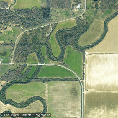
Little Black River
- Boat Ramps
- 1
- Access Points
- 2
- Campsites
- 0
The Little Black River originates in the Ozark highlands of southeastern Missouri and flows southward into northeastern Arkansas before joining the Black River. This 130-mile long river drains a watershed of approximately 600 square miles across the two states. The upper reaches in Missouri offer scenic paddling through forested hills and occasional rock outcroppings. The river widens as it enters Arkansas, taking on a more leisurely character with increased meanders. Major tributaries include the West Fork and Middle Fork in Missouri.
Paddling opportunities range from challenging whitewater in the upper sections to relaxed flatwater floats downstream. The 25-mile stretch from Lesterville, MO to Highway K Bridge is particularly popular, featuring Class I-II rapids interspersed with calm pools. Below Clearwater Lake, the river slows considerably but remains an excellent float fishing stream. Overall difficulty ranges from Class I to II+, with some Class III rapids possible during high water in the upper reaches. The river is suitable for intermediate paddlers in most sections, though beginners can enjoy the lower stretches.
Spring and fall offer ideal paddling conditions with comfortable temperatures and sufficient water levels. Summer paddling is possible but may require portaging in low water areas. The river corridor supports diverse Ozark flora and fauna, including stands of shortleaf pine and various oak species. Wildlife such as white-tailed deer, wild turkey, and smallmouth bass are commonly spotted.
Key landmarks include the Lesterville public access, Highway K Bridge, and Mill Spring. Popular multi-day trips often utilize campgrounds and gravel bars between these points. The towns of Lesterville, Centerville, and Poplar Bluff provide convenient access. Historically, the river played a role in early settlement and logging operations in the region. Today, it remains an important recreational resource, attracting anglers, paddlers, and nature enthusiasts.
Paddlers should be aware of strainers and log jams, particularly after heavy rains. Life jackets are required, and checking current water levels is advised before trips. Multi-day excursions of 2-3 days are possible between Lesterville and Clearwater Lake, offering an immersive Ozark paddling experience.
Water access, boat ramps & amenities
Learn how to get on Little Black River. Uncover great paddling access points, boat ramps, and all the facilities you need for an unforgettable day on the water. Some locations shown may border or include private property. Always check property boundaries and applicable regulations before visiting. PaddleWays's Public & Private Land layer can help you plan your access with confidence.
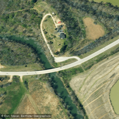
Paddle smarter with real-time insights
Whether you're en route and conditions shift or you're looking for the best spot based on current flows, we enable you to make informed decisions on the fly.








Find Places to Paddle

Over 400,000 Places to Paddle
Every user gets free access to launch points, boat ramps, and public property parcels.


Water and weather conditions (10 day forecast)
See the best times to paddle Little Black River and check the forecast before you go.
Little Black River below Fairdealing, MO
Paddling near Little Black River
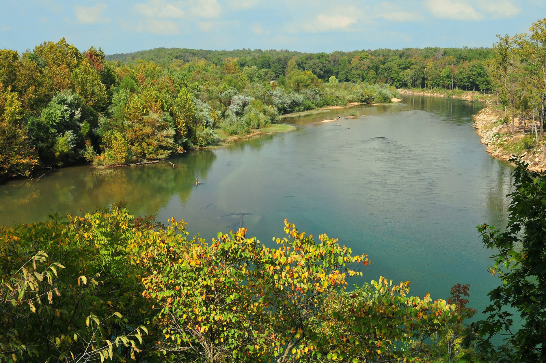
Current River
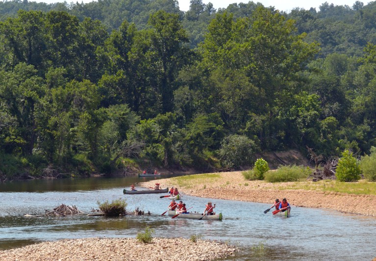
Black River
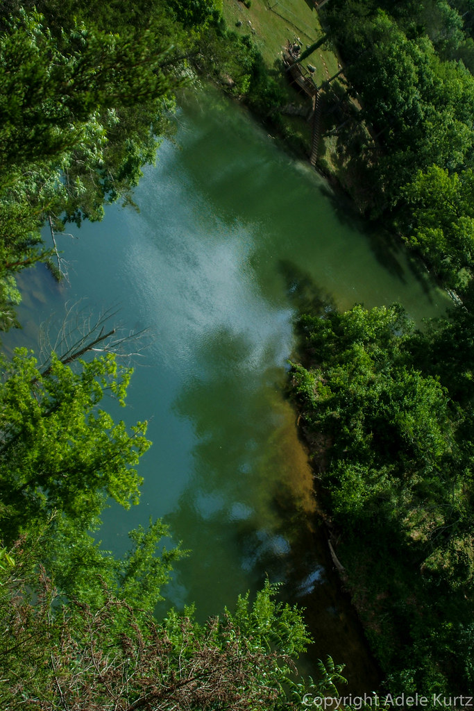
Spring River
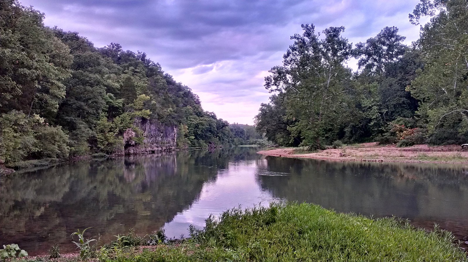
Meramec River
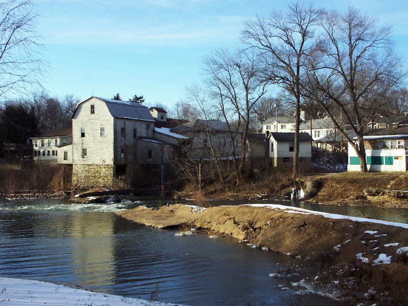
Big River
Eleven Point River
Saint Francis River
Jacks Fork
Cane Creek
Explore Arkansas waters
Top paddling waters
Popular Cities
Loading popular cities...
Explore near Little Black River
Access points
Nearby waters
More in Arkansas

Smarter Paddling Starts in the App.
Paddleways gives you everything you need to plan smarter, paddle better, and own every trip from first launch to takeout.