Jacks Fork
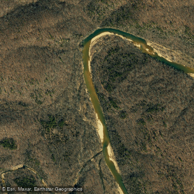
Jacks Fork
- Boat Ramps
- 1
- Access Points
- 1
- Campsites
- 7
The Jacks Fork River originates in Texas County, Missouri, where its North Prong and South Prong converge northwest of Mountain View to form the main stem. From this confluence, the river flows approximately 46 miles eastward through Texas and Shannon Counties before joining the Current River near Eminence. As a spring-fed tributary of the Current River, the Jacks Fork forms a critical component of the Ozark National Scenic Riverways, the first national park area designated to protect a river system.
The river's character changes dramatically along its course. The upper section from the Prongs to Buck Hollow (Highway 17 Bridge) cuts through deep valleys with narrow channels and swift current, creating Class II conditions during spring runflows. This primitive stretch receives minimal human traffic due to limited access and seasonal water levels. From Buck Hollow downstream through Rymers to Bay Creek, paddlers encounter rugged wilderness punctuated by towering limestone bluffs and notable features like Jam Up Cave—a massive cave entrance hidden behind boulders. Blue Spring, located between Buck Hollow and Rymers, flows from a small cave opening and displays the characteristic blue tint of Ozark spring water. Below Alley Spring, where approximately 81 million gallons of spring water enter daily, the river maintains year-round floatability. This lower section from Alley Spring through Eminence to Two Rivers offers gentler Class I water suitable for novice paddlers and families. The river widens considerably, with slower current and more predictable conditions.
Paddlers should target April through May for the upper sections when rainfall supplements base flow. The lower Jacks Fork below Alley Spring remains navigable throughout the year, though summer weekends between Memorial Day and Labor Day see heavy recreational traffic, particularly on the Alley Spring to Eminence stretch. Weekday trips offer more solitude.
The river corridor supports populations of smallmouth bass, largemouth bass, and goggle-eye (rock bass), with special length restrictions protecting smallmouth bass throughout much of the system. White-tailed deer frequent the riverbanks, and the wild horses of Shannon County occasionally appear in meadows near the lower river. Bald eagles winter along the waterway, while great blue herons and kingfishers hunt year-round.
Access points include Buck Hollow (Highway 17) in Texas County, Rymers, Bay Creek, and Alley Spring (Highway 106) transitioning into Shannon County, with Eminence serving as the primary takeout near the Current River confluence. Several outfitters operate from Eminence and the Alley Spring area, providing shuttle services and equipment rentals.
The river takes its name from John Jacks, an early settler. Historic sites include the red Alley Mill at Alley Spring, built in 1894 and now maintained by the National Park Service.
Paddlers must observe National Park Service regulations, including prohibitions on glass containers within 50 feet of the river and restrictions on cave entry to protect bat populations. The upper river's technical sections demand strong boat control skills, and strainers pose hazards throughout the system during high water.
Water access, boat ramps & amenities
Learn how to get on Jacks Fork. Uncover great paddling access points, boat ramps, and all the facilities you need for an unforgettable day on the water. Some locations shown may border or include private property. Always check property boundaries and applicable regulations before visiting. PaddleWays's Public & Private Land layer can help you plan your access with confidence.
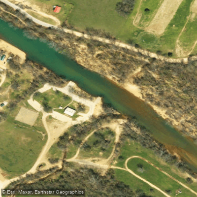
Paddle smarter with real-time insights
Whether you're en route and conditions shift or you're looking for the best spot based on current flows, we enable you to make informed decisions on the fly.








Find Places to Paddle

Over 400,000 Places to Paddle
Every user gets free access to launch points, boat ramps, and public property parcels.


Water and weather conditions (10 day forecast)
See the best times to paddle Jacks Fork and check the forecast before you go.
Jacks Fork near Mountain View, MO
All Flow Stations
Paddling near Jacks Fork
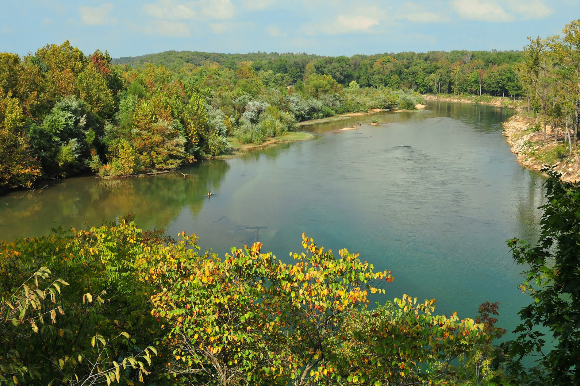
Current River
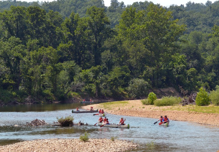
Black River
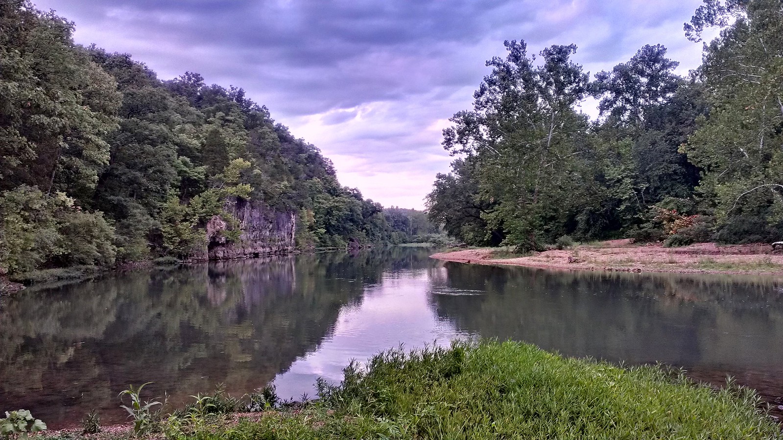
Meramec River
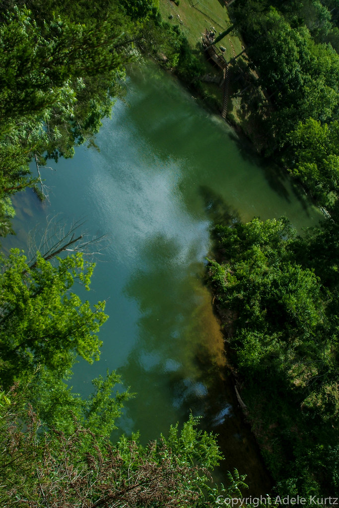
Spring River
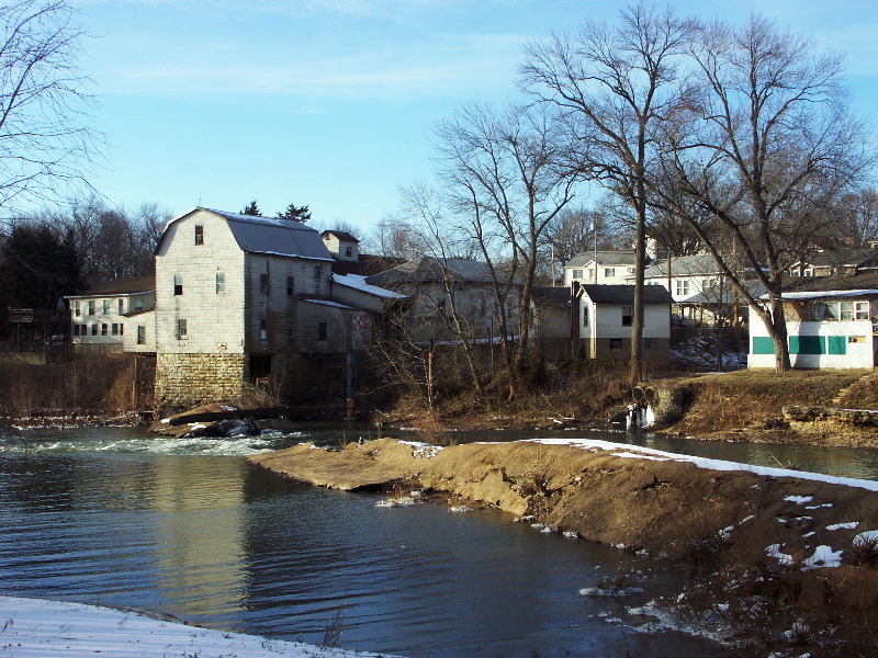
Big River
Eleven Point River
Sinking Creek
Big Piney River
Little Pine Creek
Explore Missouri waters
Top paddling waters
Popular Cities
Loading popular cities...
Explore near Jacks Fork
Access points
Nearby waters
More in Missouri

Smarter Paddling Starts in the App.
Paddleways gives you everything you need to plan smarter, paddle better, and own every trip from first launch to takeout.