Cane Creek
Cane Creek
- Boat Ramps
- 1
- Access Points
- 2
- Campsites
- 2
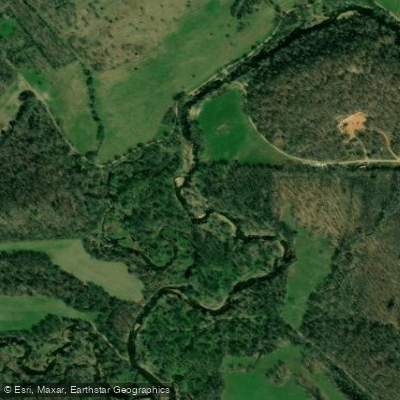
Cane Creek originates in Carter County, Missouri at coordinates 36°55′38″N 90°47′19″W near the Pinewoods Lake Recreation Area within the Mark Twain National Forest, south of U.S. Route 60 and southeast of Ellsinore. The stream flows eastward through a steep gorge, passing under Route 60 as it enters Butler County, then continues north of Brush Arbor before turning southeast to pass under Route 60 again. The creek then flows southward, passing under Missouri Route PP west of Poplar Bluff, where it receives Tenmile Creek as a tributary before exiting the national forest. Fletcher Branch and Wolf Creek join shortly after. Cane Creek continues south, passing under U.S. Route 160/U.S. Route 67 and traveling east of Harviell before flowing under Missouri Route 142 east of Neelyville to its confluence with Big Cane Creek at coordinates 36°31′31″N 90°29′57″W. The total length measures approximately 55 miles with an average gradient of about 4 feet per mile.
The creek derives its name from the abundant large canebrakes that historically lined its banks, reaching heights of 25 feet and serving as important forage for early settlers' livestock. The first European settlers established themselves in the hill country along this waterway in the 1870s.
Paddling opportunities exist primarily in the upper and middle sections. The riparian corridor quality ranges from good to excellent, with 62-92% rated as "good" in surveys conducted between 1988-1995, averaging 60-75 feet in width. Streambank erosion is minimal, with only 1% showing severe problems. The creek offers class I-II rapids suitable for intermediate paddlers, with some class III-IV sections requiring expert skills and thorough scouting. Rock gardens, ledges, and occasional logjams present navigational challenges.
Tenmile Creek, a major tributary entering in Butler County, features a Special Smallmouth Bass Management Area established in 2000, where the daily limit is six black bass with only one smallmouth bass allowed, which must be at least 15 inches. This 27-mile tributary offers excellent smallmouth bass fishing with good population densities and size structure. Access points include the Harviell Access maintained by the Missouri Department of Conservation on Cane Creek itself.
The stream flows through predominantly forested terrain in Carter County, transitioning to mixed agricultural and forested landscape in Butler County. The southern and eastern sections near the confluence have been channelized and leveed for agricultural development. Water levels depend on rainfall, with the creek generally runnable except during extremely dry conditions. The Mark Twain National Forest provides public land access throughout much of the upper watershed.
Water access, boat ramps & amenities
Learn how to get on Cane Creek. Uncover great paddling access points, boat ramps, and all the facilities you need for an unforgettable day on the water. Some locations shown may border or include private property. Always check property boundaries and applicable regulations before visiting. PaddleWays's Public & Private Land layer can help you plan your access with confidence.
Paddle smarter with real-time insights
Whether you're en route and conditions shift or you're looking for the best spot based on current flows, we enable you to make informed decisions on the fly.








Find Places to Paddle

Over 400,000 Places to Paddle
Every user gets free access to launch points, boat ramps, and public property parcels.


Water and weather conditions (10 day forecast)
See the best times to paddle Cane Creek and check the forecast before you go.
No forecast data available.
Paddling near Cane Creek
Current River
Black River
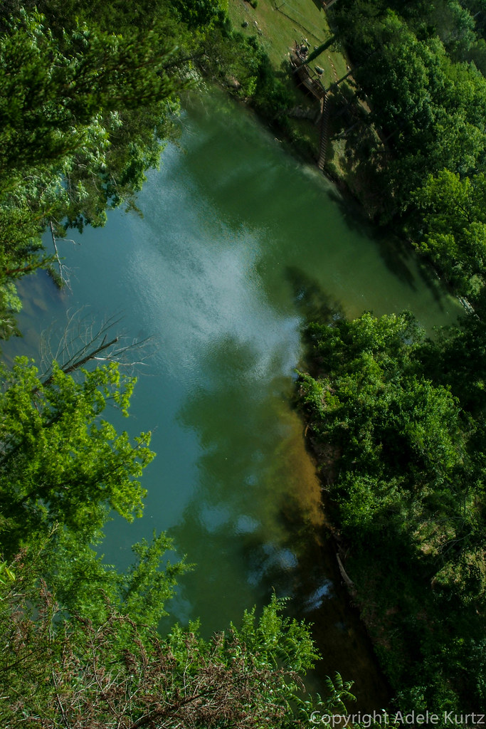
Spring River
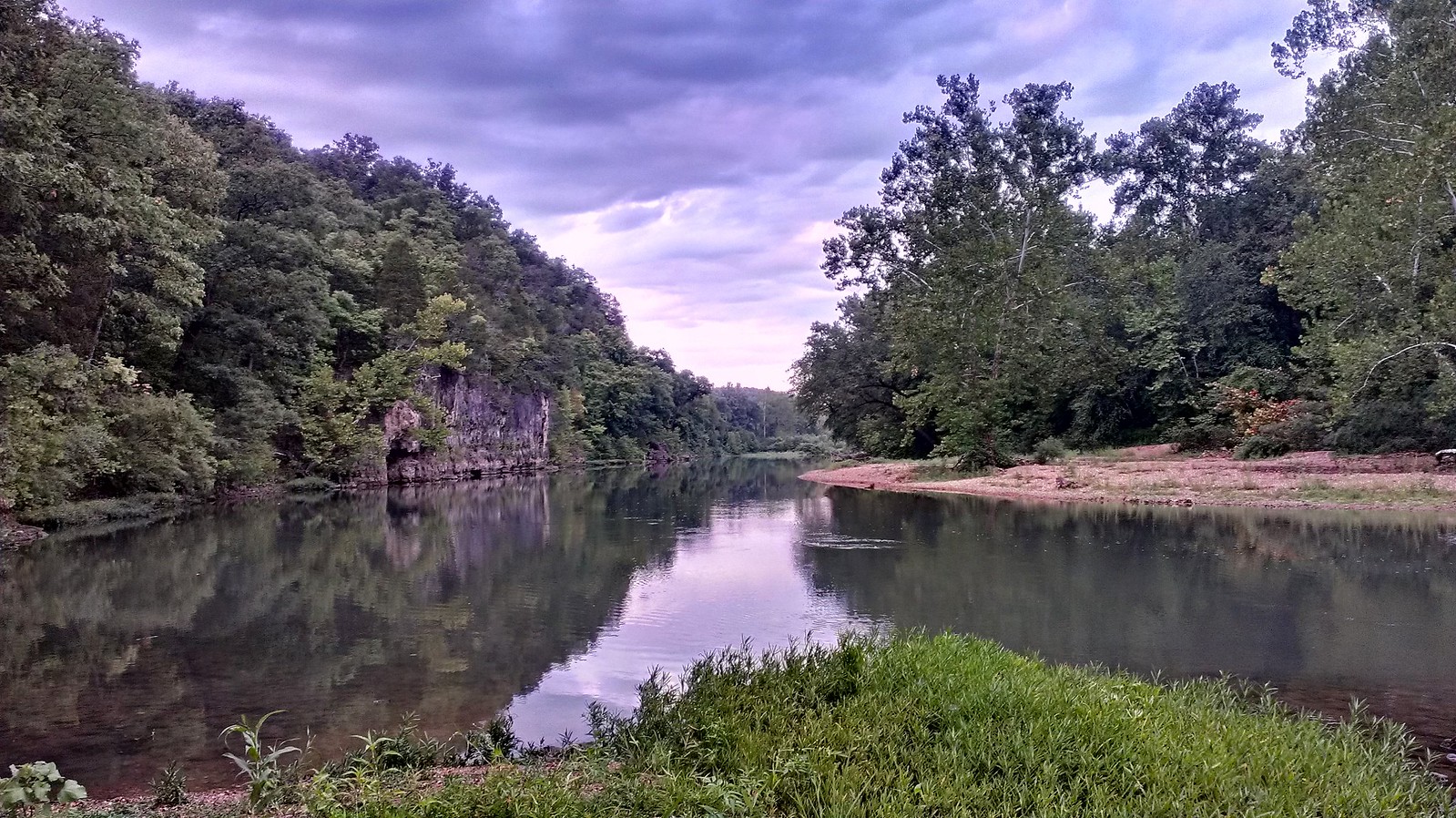
Meramec River
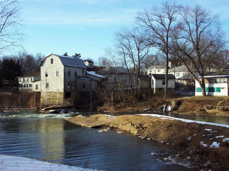
Big River
Eleven Point River
Saint Francis River
Jacks Fork
Little Black River
Explore Missouri waters
Top paddling waters
Popular Cities
Loading popular cities...
Explore near Cane Creek
Access points
Nearby waters
More in Missouri

Smarter Paddling Starts in the App.
Paddleways gives you everything you need to plan smarter, paddle better, and own every trip from first launch to takeout.