Carmel Bay
- Saltwater
- Bay
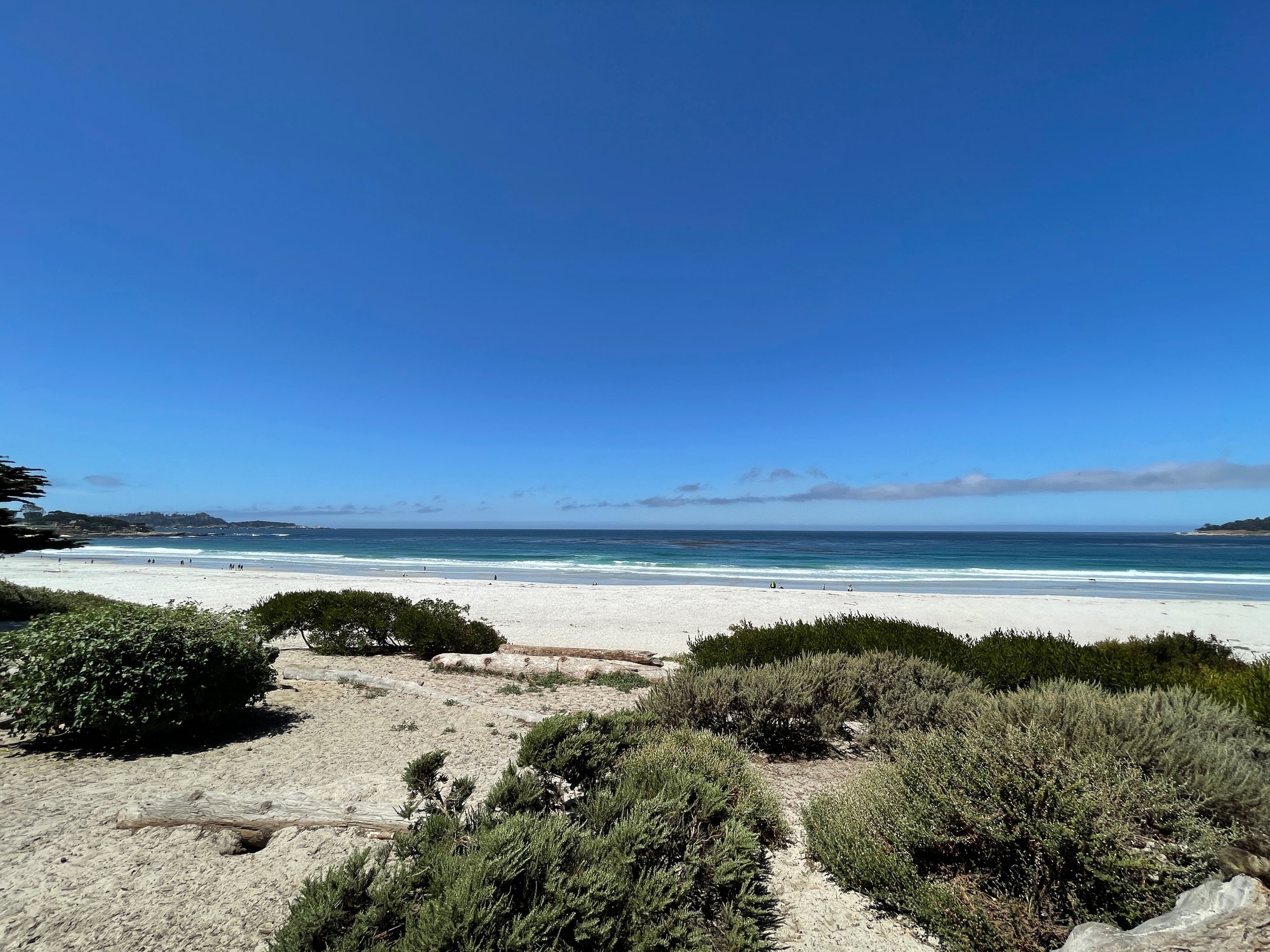
Carmel Bay
- Saltwater
- Bay
- Sq. miles
- 3.9
- Boat Ramps
- 1
- Access Points
- 1
- Campsites
- 2
Carmel Bay is a coastal bay on California's Monterey Peninsula, spanning approximately 2.7 miles of shoreline between Pescadero Point and Point Lobos. The bay's environment includes sandy beaches, rocky reefs, kelp forests, and a submarine canyon reaching depths near 470 feet. Key launch sites include Stillwater Cove, which provides easy access to spots within Carmel Bay, and the beach at Carmel-by-the-Sea, though this beach can be steep with surf. Whalers Cove in Point Lobos State Reserve is another launch option, but it requires a reservation. The entire coastline is exposed and can be rough, demanding proper equipment and research into tides and wind conditions. Paddlers should be prepared for cold water, with temperatures typically in the low 50s (°F), and should wear a wetsuit. The sand bottom in parts of the bay can make for unchallenging conditions for beginners, but wind and swell are significant factors. The area is part of the Carmel Bay State Marine Conservation Area, where recreational take of finfish is allowed but taking other marine life is prohibited. Wildlife sightings are common and can include sea otters, sea lions, bottlenose dolphins, and during migrations, gray and humpback whales. The kelp forests and rocky structures provide scenic paddling, with notable underwater features like The Needle, a slender pinnacle. From the water, paddlers can view the coastline adjacent to Pebble Beach. Commercial services offering kayak tours and rentals are available in the broader Monterey area.
Water access, boat ramps & amenities
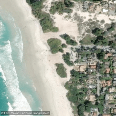
Learn how to get on Carmel Bay. Uncover great paddling access points, boat ramps, and all the facilities you need for an unforgettable day on the water. Some locations shown may border or include private property. Always check property boundaries and applicable regulations before visiting. PaddleWays's Public & Private Land layer can help you plan your access with confidence.
Paddle smarter with real-time insights
Whether you're en route and conditions shift or you're looking for the best spot based on current flows, we enable you to make informed decisions on the fly.








Find Places to Paddle

Over 400,000 Places to Paddle
Every user gets free access to launch points, boat ramps, and public property parcels.


Tides, wind & water conditions (10 day forecast)
On open water, wind and tide matter as much as the weather. See the best times to paddle Carmel Bay and check the marine forecast before you launch.
Loading tide predictions…
Paddling near Carmel Bay
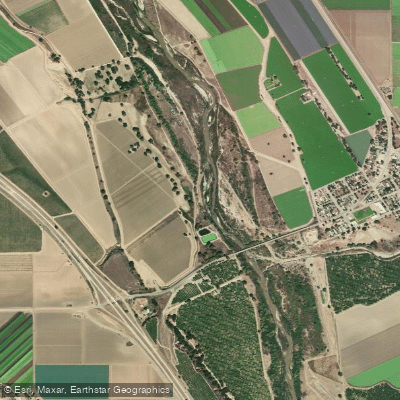
Salinas River
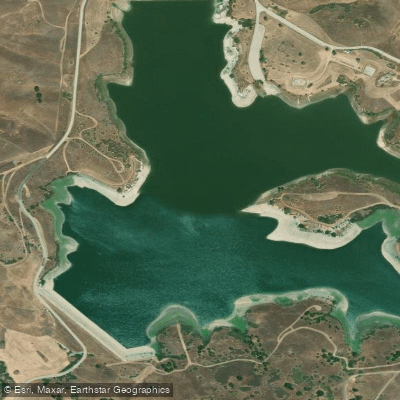
San Justo Reservoir
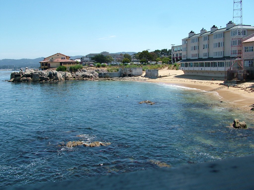
Monterey Bay
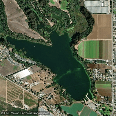
Pinto Lake
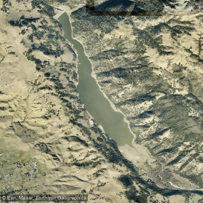
Coyote Lake
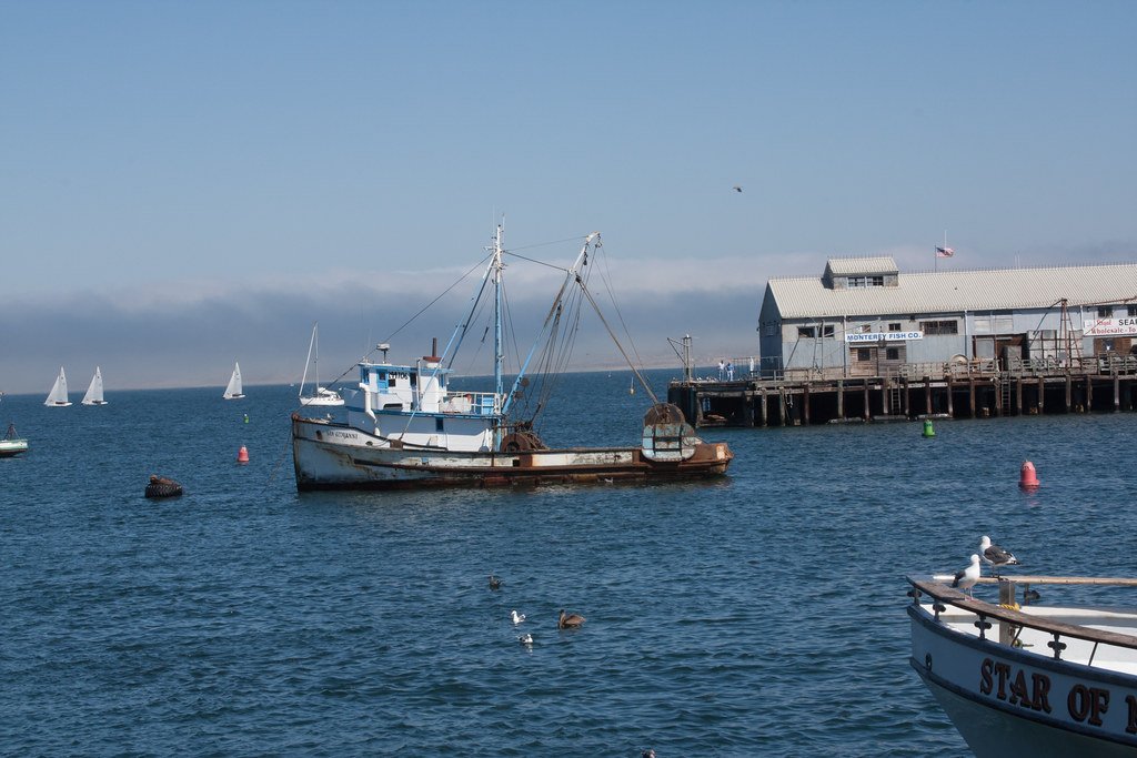
Monterey Harbor
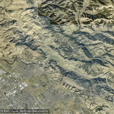
Anderson Lake
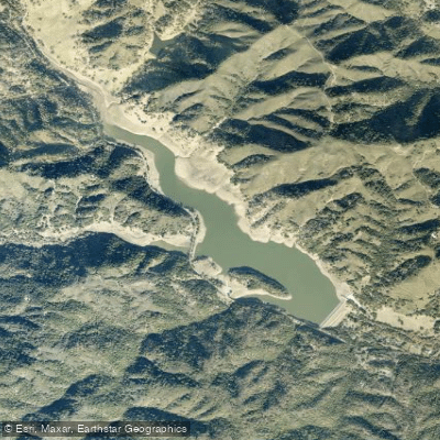
Uvas Reservoir
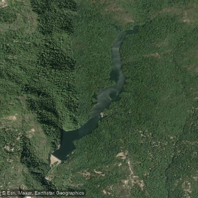
Loch Lomond
Explore California waters
Top paddling waters
Popular Cities
Loading popular cities...
Explore near Carmel Bay
Access points
Nearby waters
More in California

Smarter Paddling Starts in the App.
Paddleways gives you everything you need to plan smarter, paddle better, and own every trip from first launch to takeout.