Monterey Bay
- Saltwater
- Bay
Monterey Bay
- Saltwater
- Bay
- Sq. miles
- 211
- Boat Ramps
- 8
- Access Points
- 16
- Campsites
- 18
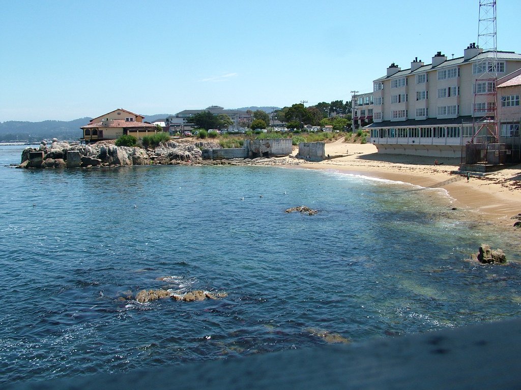
Monterey Bay is a large, open coastal bay on the central California coast, part of the Monterey Bay National Marine Sanctuary. The paddling experience is defined by its rich marine wildlife, including sea otters, harbor seals, sea lions, and occasional dolphins, with extensive kelp forests along the shoreline. The bay's character varies significantly between its open coast and protected estuary areas. For open-water paddling along the Monterey city shoreline, the most protected launch area is from the beach near Monterey Harbor and Fisherman's Wharf, which offers calm waters suitable for beginners and families. From here, paddlers can explore the harbor and the shoreline along historic Cannery Row. This area can occasionally experience small surf or swell outside the harbor. Another popular launch site is Lovers Point Park in Pacific Grove, which offers wide-open paddling along the shoreline and through kelp forests. A major feature for paddlers is the Elkhorn Slough, a seven-mile-long tidal estuary located at Moss Landing, approximately 20 minutes north of Monterey. This inland waterway is a biodiversity hotspot and a top wildlife viewing destination, with over six miles of navigable waterway. Paddling here involves putting in at the North Harbor of Moss Landing and heading inland past the Highway 1 bridge. Key safety considerations include strong afternoon onshore winds and winter tidal currents in the Elkhorn Slough, which can make the return trip challenging. The open bay is also exposed to wind and swell. Multiple rental and tour operators are available, including Monterey Bay Kayaks and Adventures by the Sea, which offer equipment, lessons, and guided tours from locations in Monterey, Pacific Grove, and Moss Landing. Guided tours are led by certified wildlife stewards who provide safety and local knowledge.
Water access, boat ramps & amenities
Learn how to get on Monterey Bay. Uncover great paddling access points, boat ramps, and all the facilities you need for an unforgettable day on the water. Some locations shown may border or include private property. Always check property boundaries and applicable regulations before visiting. PaddleWays's Public & Private Land layer can help you plan your access with confidence.
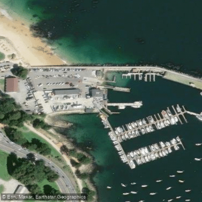
Breakwater Cove Marina Access
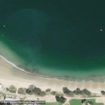
Monterey Access
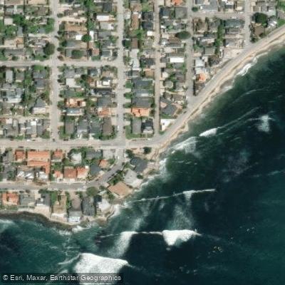
Pleasure Point Park Access
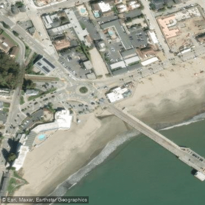
Santa Cruz Municipal Wharf Access
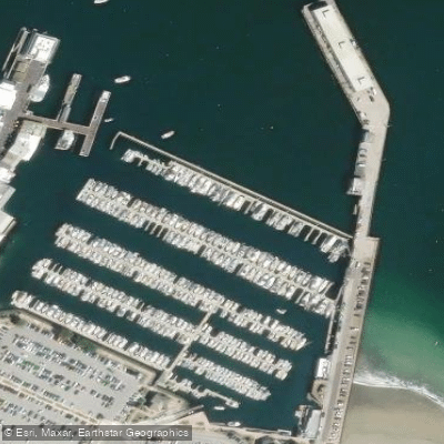
Monterey Wharf Access
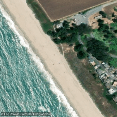
Sunset State Beach Access
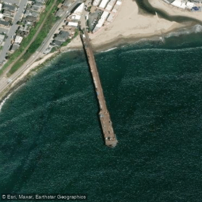
Capitola Wharf Access
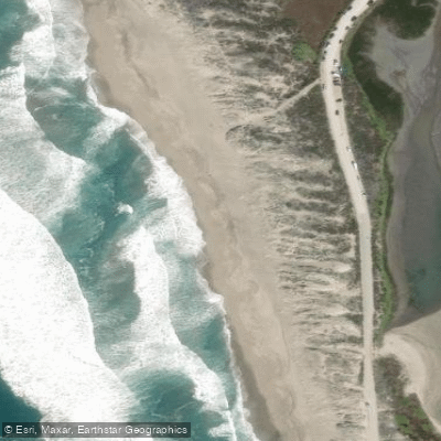
Moss Landing State Beach Access
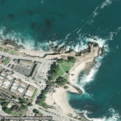
Lovers Point Park Access
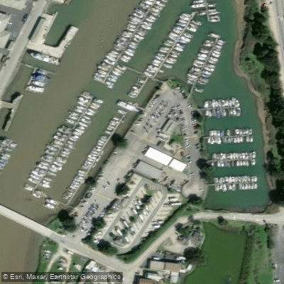
Moss Landing Harbor Access
Paddle smarter with real-time insights
Whether you're en route and conditions shift or you're looking for the best spot based on current flows, we enable you to make informed decisions on the fly.








Find Places to Paddle

Over 400,000 Places to Paddle
Every user gets free access to launch points, boat ramps, and public property parcels.


Tides, wind & water conditions (10 day forecast)
On open water, wind and tide matter as much as the weather. See the best times to paddle Monterey Bay and check the marine forecast before you launch.
Loading tide predictions…
Paddling near Monterey Bay
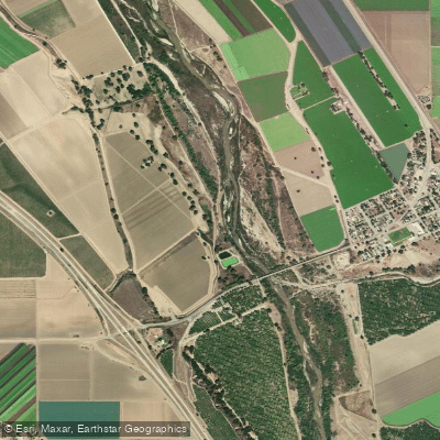
Salinas River
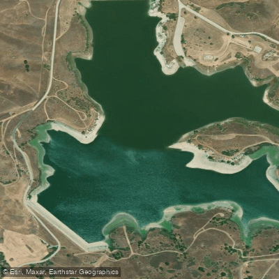
San Justo Reservoir
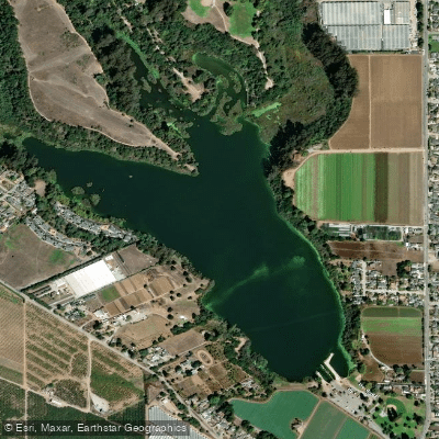
Pinto Lake
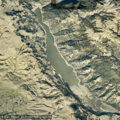
Coyote Lake
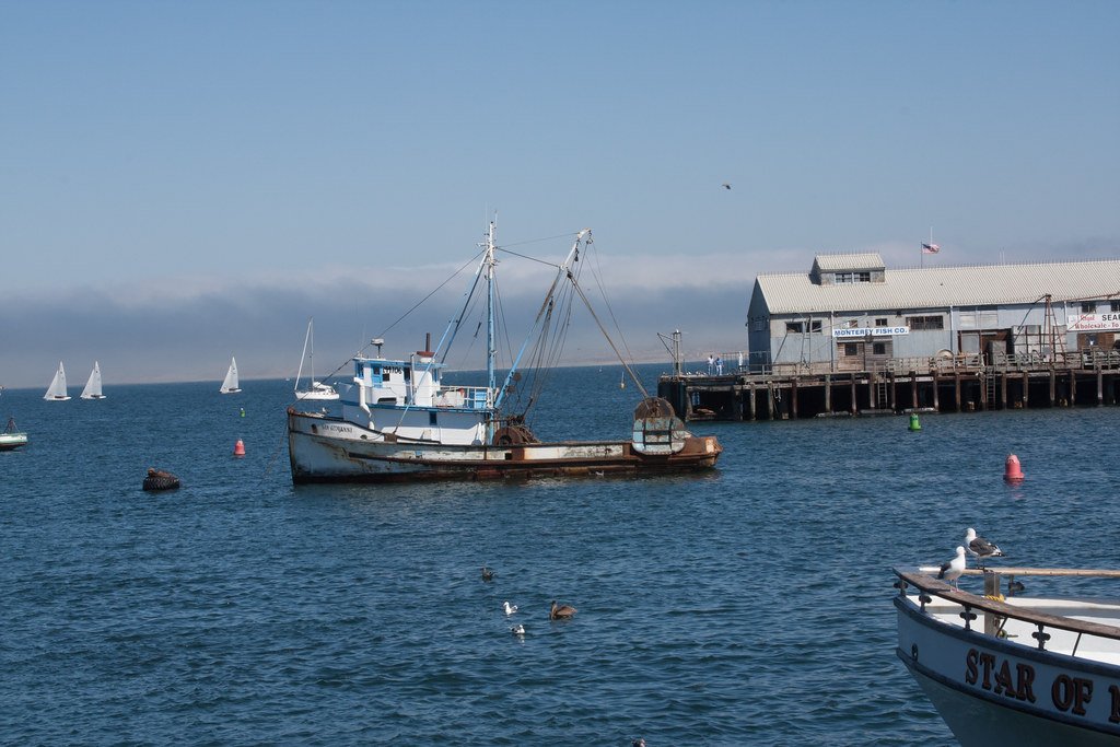
Monterey Harbor
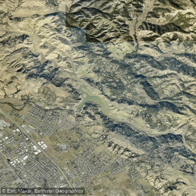
Anderson Lake
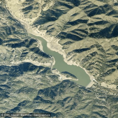
Uvas Reservoir
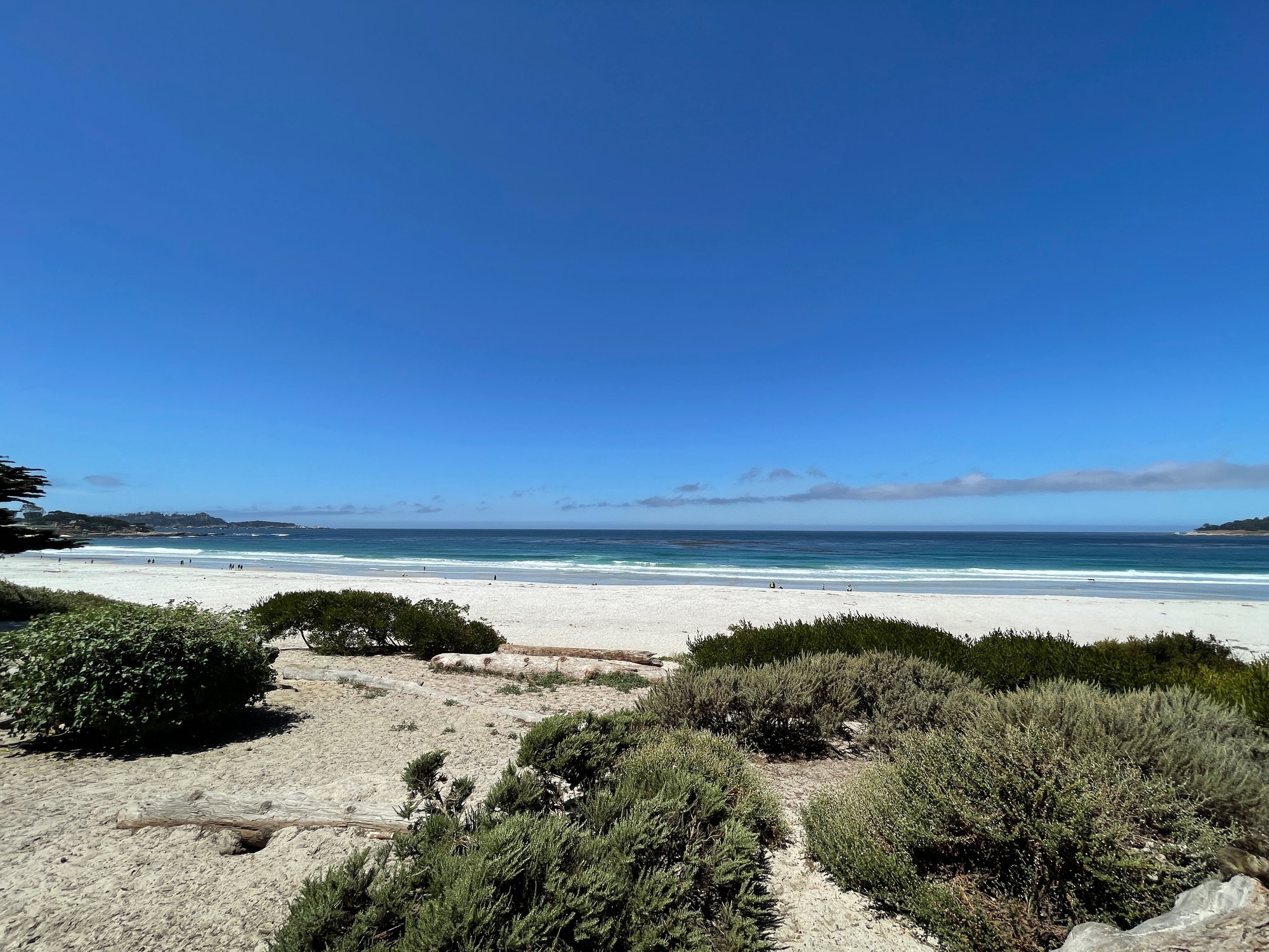
Carmel Bay
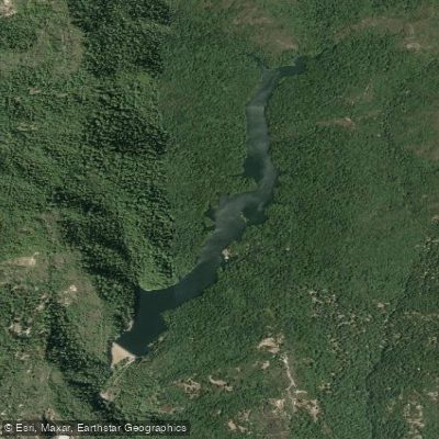
Loch Lomond
Explore California waters
Top paddling waters
Popular Cities
Loading popular cities...
Explore near Monterey Bay
Access points
- Capitola Marina Boat Ramp
- Breakwater Cove Marina Boat Ramp
- Moro Cojo Slough Boat Ramp
- Monterey Breakwater Boat Ramp
- Woodward Marine Boat Ramp
- Monterey Harbor & Marina Boat Ramp
- Moss Landing Harbor District Boat Ramp
- Moss Landing Harbor North Boat Ramp
- Breakwater Cove Marina Access
- Monterey Access
- Pleasure Point Park Access
- Santa Cruz Municipal Wharf Access
- All 78 spots
Nearby waters
More in California

Smarter Paddling Starts in the App.
Paddleways gives you everything you need to plan smarter, paddle better, and own every trip from first launch to takeout.