Cayucos State Beach
- Saltwater
- Beach
Cayucos State Beach
- Saltwater
- Beach
- Sq. miles
- 0
- Boat Ramps
- 0
- Access Points
- 1
- Campsites
- 1
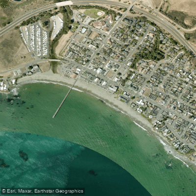
Cayucos State Beach is a six-mile stretch of wide, white sandy shoreline located directly off Highway 1 in the town of Cayucos. The primary launch point for paddlers is the beach itself, with direct access from Ocean Front Avenue. Parking is available near the main entrance, and arriving early is recommended to secure a spot. The carry distance from parking to the water's edge is short, with the beach described as having easy access. The surf here is generally characterized as gentle, making it suitable for various skill levels, though paddlers should always assess conditions. Mornings are typically calm, which is the best time of day for paddling. The area is fully exposed to the Pacific Ocean, so wind and swell conditions can change. Tide schedules should be checked before visiting, as low tide reveals rocky pockets and tide pools but may also affect the ease of launching through any shore break.
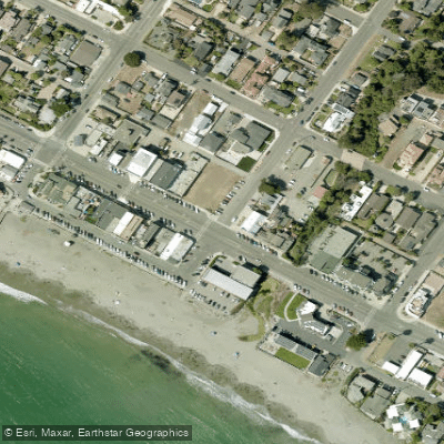
The aesthetic is a classic central California coastline with a historic pier extending into the ocean, providing a landmark for navigation. The water is cooler than in Southern California, and the weather is moderate, often about 30 degrees cooler than inland areas during summer; dressing in layers is advised. From the beach, paddlers can embark on a scenic coastal journey. A notable nearby paddle destination is Morro Bay, located approximately seven miles to the south, which offers calmer water and is recognized as a state and national estuary ideal for kayaking. To the north, the coastline becomes more rugged. The overall vibe is relaxed and family-friendly, with the charming town of Cayucos just steps from the sand. Facilities include restrooms near the main entrance. Wildlife sightings, particularly seabirds, are common, and the area is part of the whale migration route.
Water access, boat ramps & amenities
Learn how to get on Cayucos State Beach. Uncover great paddling access points, boat ramps, and all the facilities you need for an unforgettable day on the water. Some locations shown may border or include private property. Always check property boundaries and applicable regulations before visiting. PaddleWays's Public & Private Land layer can help you plan your access with confidence.
Paddle smarter with real-time insights
Whether you're en route and conditions shift or you're looking for the best spot based on current flows, we enable you to make informed decisions on the fly.








Find Places to Paddle

Over 400,000 Places to Paddle
Every user gets free access to launch points, boat ramps, and public property parcels.


Tides, wind & water conditions (10 day forecast)
On open water, wind and tide matter as much as the weather. See the best times to paddle Cayucos State Beach and check the marine forecast before you launch.
Loading tide predictions…
Paddling near Cayucos State Beach
Salinas River
Lake Nacimiento

Estero Bay
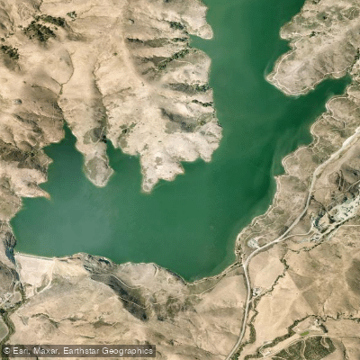
Whale Rock Reservoir
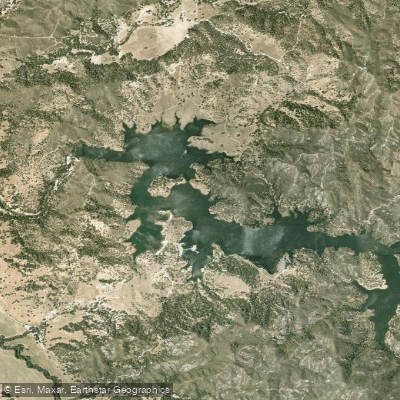
Santa Margarita Lake
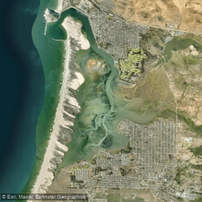
Morro Bay
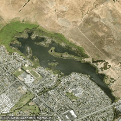
Laguna Lake
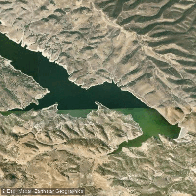
Lake San Antonio
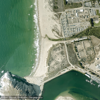
Morro Rock Beach
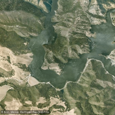
Lopez Lake
Explore California waters
Top paddling waters
Popular Cities
Loading popular cities...
Explore near Cayucos State Beach
Access points
Nearby waters
More in California

Smarter Paddling Starts in the App.
Paddleways gives you everything you need to plan smarter, paddle better, and own every trip from first launch to takeout.