Curated by PaddleWays
RouteClass IV–V
- Distance
- 8.5 mi
- Paddle time
- ~2 hrs
- Best for
- Experienced paddlers
- Put-in → take-out
- Upper Bridge → Lower Bridge
Continuous steep Class IV+ and V- rapids
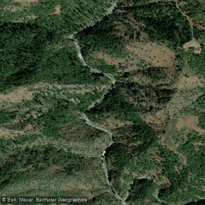
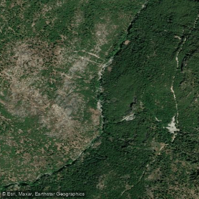
The Clavey River originates in the high Sierra Nevada of California, beginning at the confluence of Bell Creek and Lily Creek approximately four miles southeast of Strawberry on Highway 108, northeast of Sonora. The headwaters trace back into the Emigrant Wilderness, where Lily Creek's western fork flows from Chewing Gum Lake and its eastern fork from Y Meadow Lake, while Bell Creek originates near Burst Rock. The river flows westward through Tuolumne County, carving a dramatic granite gorge through the Stanislaus National Forest before joining the Tuolumne River at Ward's Ferry.
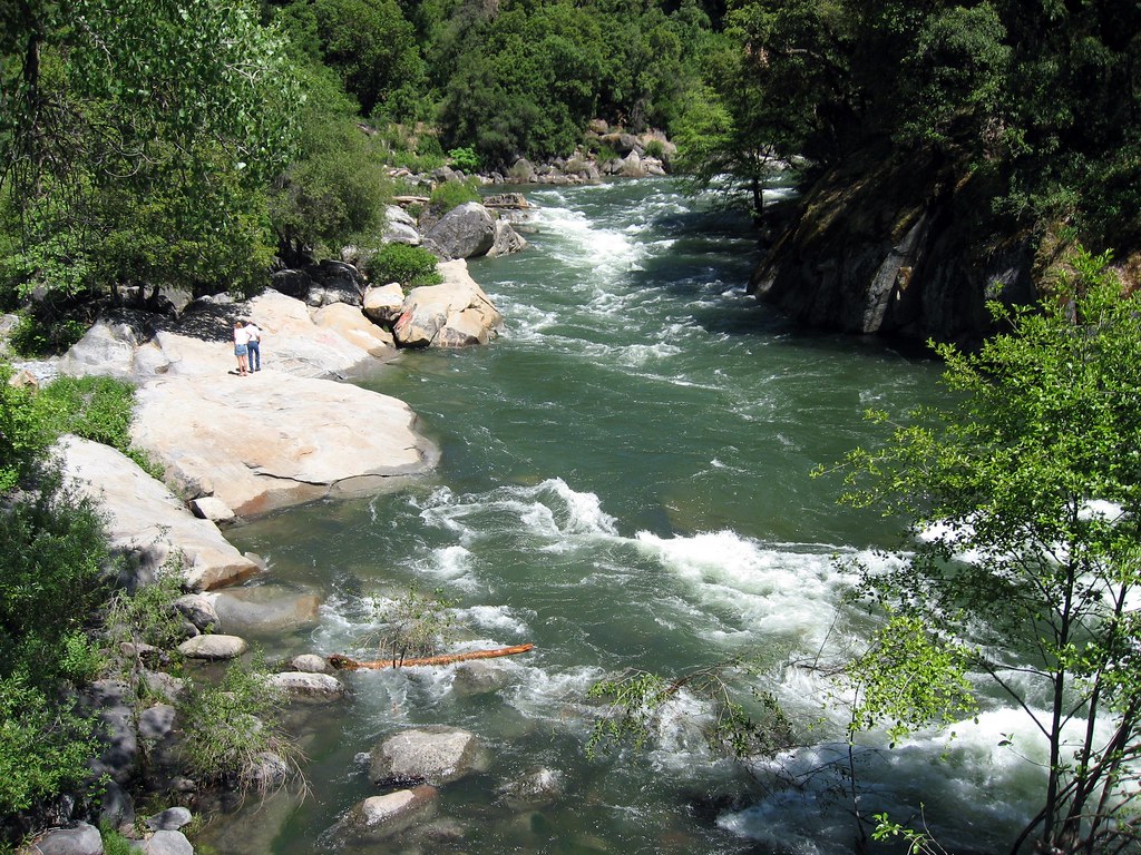
This free-flowing river stands as one of the Sierra Nevada's most pristine waterways, remaining undammed from source to mouth. Its remote character stems from rugged terrain and limited road access, which has preserved its wilderness quality among California rivers. The Clavey flows through alternating sections of black and red granite gorges, creating a spectacular backdrop for one of the state's most challenging whitewater experiences.
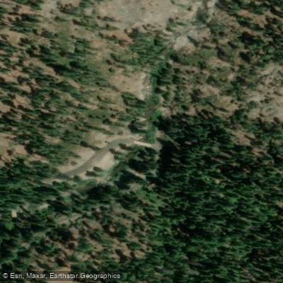
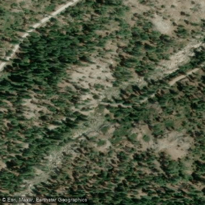
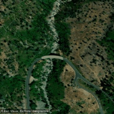
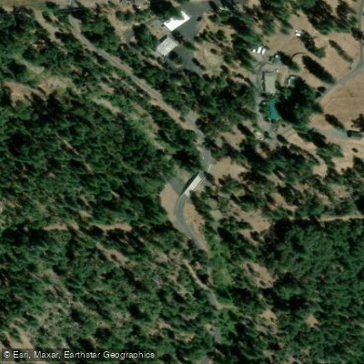
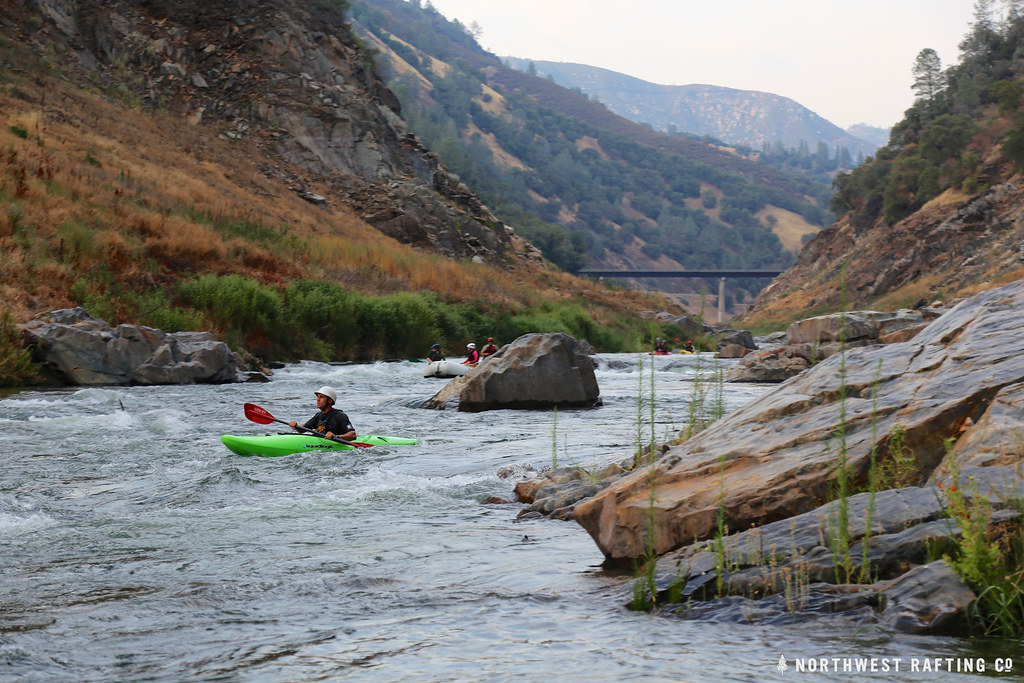
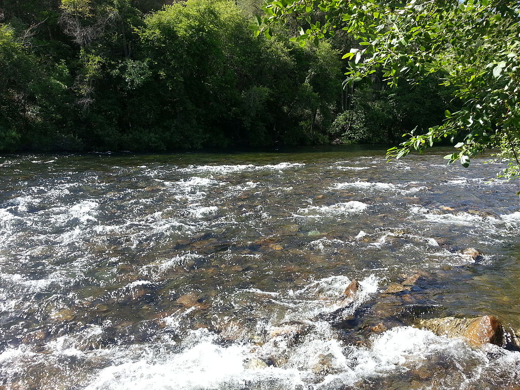
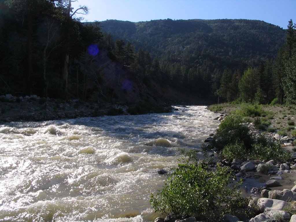
Paddling opportunities on the Clavey River cater exclusively to expert whitewater enthusiasts. The Upper Run from 1N04 Bridge to 1N01 Bridge (Lower Bridge) covers 8.5 miles of Class IV to V whitewater with an average gradient of 125 feet per mile, intensifying to 215 feet per mile in the first mile. This section features continuous technical rapids through granite canyons, with the final two miles presenting the most demanding challenges, including multiple portage-worthy drops rated Class V to V+.
The Lower Run from 1N01 Bridge to Ward's Ferry extends 20.8 miles at Class V+ difficulty, representing a serious wilderness expedition through the Central Sierra Nevada. Combined, these sections create over 29 miles of roadless whitewater adventure.
The Clavey runs primarily during spring from snowmelt, with optimal flows between 450 and 1,000 cubic feet per second. Access requires navigating forest roads, with the town of Tuolumne serving as the primary staging area. The 1N04 road provides the main route to put-in points, though shuttle logistics demand careful planning on dirt roads suitable for high-clearance vehicles.
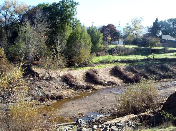
Where the Clavey meets the Tuolumne River, it creates the confluence that feeds into Clavey Falls, a legendary Class V rapid on the Tuolumne's main run. This junction offers excellent campsites and opportunities for hiking upstream into the Clavey's lower canyon, though caution is essential during high water. The river's steep gradient and technical nature demand advanced whitewater skills, thorough scouting, and proper safety equipment. Bell Meadow in the upper watershed has experienced streambank stability challenges, with monitoring indicating significant erosion potential during bankfull conditions.
The Clavey's wilderness character and expert-level whitewater make it a coveted destination for accomplished paddlers seeking California's most challenging Sierra Nevada river experiences.
Curated routes
Hand-picked by the PaddleWays team, with put-ins, take-outs, paddle times and the hazards along the way.
RouteClass IV–V
Hazards
No paddler has reported a hazard here yet, so these are the dams, falls and big rapids on our map. Hazards change with flows and storms, so check them before you launch.
Rapid · Class V
Class V- Definitely scout this one on the right or left. Generally the line starts right and works left.
From the community
Nobody has shared a trip on Clavey River yet. Paddle it, then tell the next paddler how it went.
See exactly where the public can get on and off the river. Launch points and boat ramps are paired with PaddleWays' public land data so you know where you can legally land.
Public shoreline
100%of the river's shoreline is public
Flows, weather and a route-by-route verdict, so you know which stretch of the Clavey River is worth paddling today.
No forecast data available.
Live flows, marked hazards and fresh trip reports from paddlers who were just on the water, all in one place.





Every user gets free access to launch points, boat ramps, and public property parcels.
Loading popular cities...
PaddleWays gives you everything you need to plan smarter, paddle better, and own every trip from first launch to takeout.