Curated by PaddleWays
RouteClass I–II
- Distance
- 2.4 mi
- Paddle time
- 1–2 hrs
- Best for
- Beginners
- Put-in → take-out
- Cottonwood Island River Access Boat Ramp → Lyons Gultch Boat Ramp
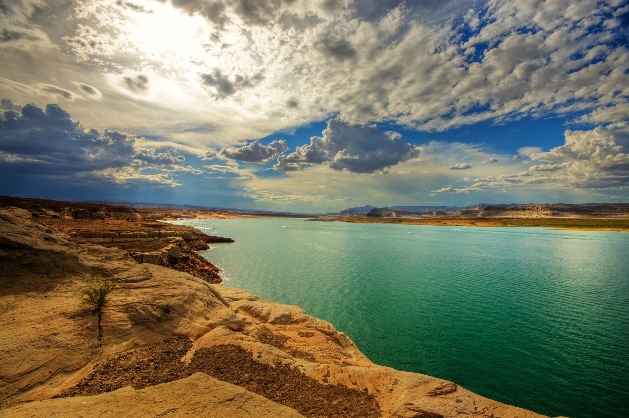
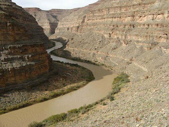
The Colorado River is one of the most iconic and important waterways in the American West, carving its way through seven U.S. states from its headwaters in the Rocky Mountains to its delta in Mexico. This mighty river offers an incredible diversity of paddling experiences, from placid flatwater stretches to heart-pounding whitewater rapids, all set against a backdrop of stunning desert landscapes.
In its upper reaches in Colorado, the river provides excellent opportunities for both beginner and advanced paddlers. Popular sections include the scenic Ruby-Horsethief Canyon float from Loma to Westwater, and the more challenging Shoshone Rapids near Glenwood Springs.
As the river continues westward, it enters Utah's canyon country, where it flows through the famous Westwater and Cataract Canyons. These sections offer world-class multi-day wilderness trips with big whitewater action.
The river's crown jewel is undoubtedly its course through Grand Canyon National Park in Arizona. This 277-mile stretch from Lee's Ferry to Lake Mead is considered one of the premier river trips in the world, featuring massive rapids, towering canyon walls, and countless side hikes to waterfalls and ancient ruins.
Below Hoover Dam, the river mellows considerably as it forms several reservoirs. The Black Canyon Water Trail offers a unique paddling experience with hot springs, slot canyons, and emerald coves to explore. Further downstream, the river provides calm water paddling opportunities through scenic desert landscapes all the way to Yuma.
The Colorado's difficulty ranges from flatwater suitable for beginners to Class V rapids that challenge even expert paddlers. While some sections can be paddled year-round, the best time for most trips is typically late spring through early fall. Snowmelt-driven high water in May and June creates exciting conditions for whitewater enthusiasts, while lower flows later in the season are better suited for more relaxed trips.
Wildlife along the river is diverse, including bighorn sheep, mule deer, and a variety of bird species. The river corridor supports lush riparian zones that contrast beautifully with the surrounding desert. Ancient petroglyphs and ruins found along the banks speak to the area's rich Native American history.
Major access points include Moab and Green River in Utah, Lees Ferry and Lake Havasu City in Arizona, and Laughlin in Nevada. These towns serve as gateways to different sections of the river and offer amenities for river runners.
Safety is paramount on the Colorado. Proper equipment, including personal flotation devices, is essential. Permits are required for many sections, particularly in national parks and popular wilderness areas. Multi-day trips should be well-planned, with considerations for water availability, camping regulations, and potential flash floods.
From leisurely day floats to epic multi-week expeditions, the Colorado River offers a lifetime of paddling adventures. Its waters have shaped both the landscape and the human history of the American Southwest, making every journey down its course a trip through time as well as space.
Curated routes
Hand-picked by the PaddleWays team, with put-ins, take-outs, paddle times and the hazards along the way.
RouteClass I–II
RouteClass I–II
RouteClass II
RouteClass II–III
RouteClass II–III
RouteClass I–II
RouteClass I–II
RouteFlatwater
RouteClass II
RouteFlatwater
RouteClass V
RouteClass III
RouteClass II–III
RouteClass II
RouteClass III–IV
RouteClass IV
RouteClass I–II
RouteClass IV
RouteClass II–III
RouteClass III
RouteClass I–II
RouteClass I
RouteFlatwater
RouteClass II–III
RouteClass I–III
RouteFlatwater
RouteFlatwater
RouteClass IV
RouteFlatwater
RouteClass IV–V
RouteClass IV–V
Hazards
No paddler has reported a hazard here yet, so these are the dams, falls and big rapids on our map. Hazards change with flows and storms, so check them before you launch.
From the community
Real trips from PaddleWays paddlers: which route they ran, how the flows were, and what to watch for.
Loading trip reports
Effingrayofsunshine F.
708 cfs at Parker
Emerald Cove at Parker Dam 10/10/2026
Effingrayofsunshine F.
There is a headwind!
A V.
1,110 cfs at Catamount Bridge
Catamount to Pinball Point Boat Ramp
Jinous N.
2,840 cfs at Cisco
12:20pm put in and arrived to Onion Creek Campground at 4:57
Kevin M. •
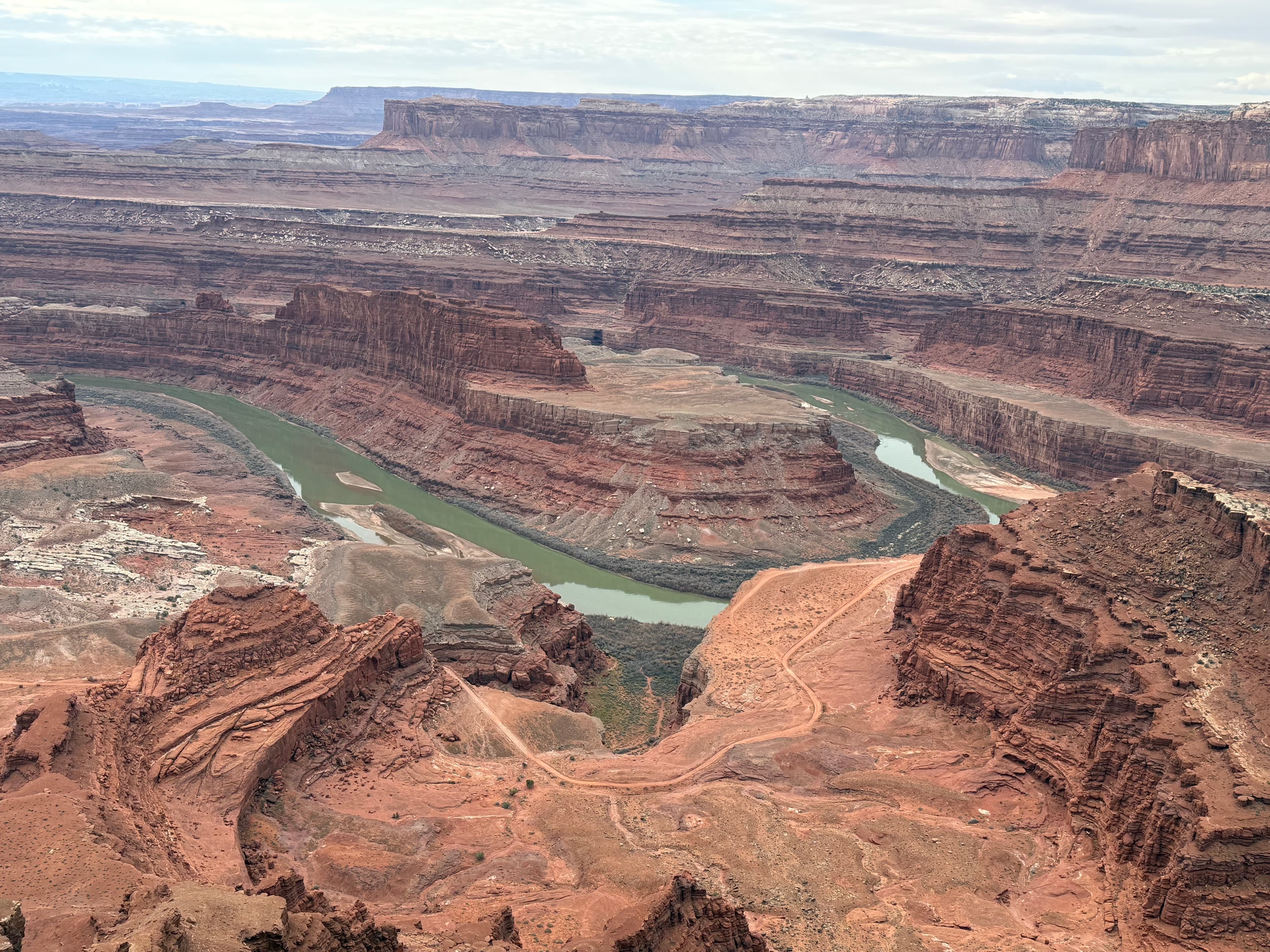
Overlook from dead horse point
ken R. •
great trip. great people.
See exactly where the public can get on and off the river. Launch points and boat ramps are paired with PaddleWays' public land data so you know where you can legally land.
Public shoreline
58%of the river's shoreline is public
Flows, weather and a route-by-route verdict, so you know which stretch of the Colorado River is worth paddling today.
All Flow Stations
Scheduled releases and generation forecasts from the dams on Colorado River.
Colorado River · Below Davis Dam · U.S. Bureau of Reclamation
4,826 cfs now, 9,333 cfs from 6:00 PM MST
Forecast updated today at 2:22 PM MST. Schedules can change, so check the operator's page before you go.
Colorado River · Below Parker Dam · U.S. Bureau of Reclamation
11,430 cfs now, 9,288 cfs from 8:00 PM MST
Forecast updated today at 2:22 PM MST. Schedules can change, so check the operator's page before you go.
Live flows, marked hazards and fresh trip reports from paddlers who were just on the water, all in one place.





Every user gets free access to launch points, boat ramps, and public property parcels.
What you need to float or boat Colorado River, and when to apply.
Black Canyon below Hoover Dam
Boater pass · All boaters · Required year-round
Launching on the Colorado directly below Hoover Dam needs a $32 permit through an authorized outfitter, and launches elsewhere on the water trail need none.
Checked Nov 4, 2026 with Lake Mead National Recreation Area
Meander and Cataract canyons (Canyonlands)
Reservation permit · All boaters · Required year-round
Every boating day trip on the Green and Colorado in Canyonlands needs a permit, and the whole year opens for booking on Jan 1.
Checked Nov 4, 2026 with Canyonlands National Park
Meander and Cataract canyons (Canyonlands)
Reservation permit · Overnight trips · Required year-round
Every overnight river trip in Canyonlands needs a permit, released four months ahead for each of two seasons.
Checked Nov 4, 2026 with Canyonlands National Park
Diamond Creek to Lake Mead
Reservation permit · Private trips · Required year-round
Noncommercial trips of 2 to 5 days from Diamond Creek to Lake Mead need a free Grand Canyon permit, issued first come up to a year ahead.
Checked Nov 4, 2026 with Grand Canyon National Park River Permits Office
Glen Canyon Dam to Lees Ferry
Self-issue permit · Private trips · Required year-round
Groups using any watercraft on the 16 miles from Glen Canyon Dam to Lees Ferry need a free permit from the kiosk above the Lees Ferry ramp.
Checked Nov 4, 2026 with Glen Canyon National Recreation Area
Glen Canyon Dam to Lees Ferry
Boater pass · Motorboats · Required year-round
Every motorized vessel on Lake Powell or the Colorado River below Glen Canyon Dam needs a weekly or annual Glen Canyon vessel pass, priced by length.
Checked Nov 4, 2026 with Glen Canyon National Recreation Area
Grand Canyon (Lees Ferry to Diamond Creek)
Lottery permit · Private trips · Required year-round
Every private river trip through Grand Canyon needs a permit, assigned in a weighted lottery each February for the following year.
Checked Nov 4, 2026 with Grand Canyon National Park
Diamond Creek take-out (Hualapai)
Boater pass · All boaters · Required year-round
River trips taking out at Diamond Creek pay Hualapai fees per person, boat and vehicle, and camping or hiking on Hualapai river-left land needs a tribal permit.
Checked Nov 4, 2026 with Hualapai Game and Fish Department
Ruby and Horsethief canyons
Reservation permit · Overnight trips · Required year-round
Overnight trips through Ruby and Horsethief canyons need a camping permit released two months ahead, and day trips need none.
Checked Nov 4, 2026 with BLM McInnis Canyons National Conservation Area
Westwater Canyon
Reservation permit · All boaters · Required year-round
Every trip through Westwater Canyon needs a permit, released two months ahead at 8am MT.
Checked Nov 4, 2026 with BLM Moab Field Office
Due to limited camping in this 25-mile stretch of the Colorado, overnight camping permits are required year-round and must be reserved in advance. Reservations for Ruby-Horsethief camping permits can be made 2 months in advance on a daily rolling window. Reservations open at 8:00 am MDT. You can print your permit 7 days before your launch. Visitors can reserve multi-night trips within the open window. Visitors are limited to one active reservation at a time. Visitors can have multiple permits per year. A permit is not required for day use in Ruby-Horsethief. Black Rocks sites are limited to one camping night on Friday and Saturday nights. No layovers.
Permits are required year-round for all private and commercial use in Westwater Canyon. A permit for Westwater Canyon allows for the launch of one group, maximum of 25 people, for the date issued. Permit holders will have the option to choose between a day trip or an overnight trip. Only one night is allowed within the canyon, it must be the night of the authorized launch, and the campsites will be assigned by the ranger prior to launch. Permits/reservations become available two months prior to the desired launch date at 8 a.m. Mountain Standard Time. Any available launch date within the two month window is also available for reservation up to 11:59 a.m. on the day of the launch. Alternate trip leader must be entered upon reservation. This cannot be added or changed after the reservation is made. Permits are available to print starting 14 days prior to the launch date. Once a permit is printed, no changes to the permit are allowed.
When using any type of watercraft to access a body of water, it is important to follow all federal, state, and local rules and regulations. These rules and regulations include boat permitting and licensing, invasive species inspections and stamps, life jacket and PFD rules, motor size and horsepower restrictions, noise limitations, restrictions on personal watercraft, and many more. Visit the web link below for the most current rules and regulations for this body of water.
Loading popular cities...
PaddleWays gives you everything you need to plan smarter, paddle better, and own every trip from first launch to takeout.