Diaz Lake
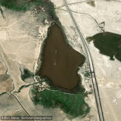
Diaz Lake
- Boat Ramps
- 1
- Access Points
- 2
- Campsites
- 2
Diaz Lake is an 80-acre body of water located 3 miles south of Lone Pine, California along Highway 395. The lake features a boat launch ramp and is open year-round for non-motorized watercraft including kayaks, canoes, and paddle boards. Motorized watercraft are permitted from May 15 through October 31, with a limit of 25 boats per day.
The lake sits against the dramatic backdrop of the Eastern Sierra Nevada range, offering paddlers views of Mount Whitney and the Alabama Hills. Its location between the Owens River Valley and Sierra Nevada creates opportunities for wildlife viewing and scenic photography.
All watercraft must undergo inspection for quagga mussels prior to launching. Boat hours are 8:00 AM to 6:00 PM Thursday through Monday, and 8:00 AM to 2:00 PM Tuesday and Wednesday. The lake experienced harmful algal blooms in 2024, so paddlers should check current conditions before planning water activities.
Facilities include vault toilets, limited water spigots, and an ADA-accessible fishing deck near the boat launch. The adjacent campground offers 100 camping spaces with fire rings and picnic tables. Day use areas feature covered picnic tables and a playground.
The lake's proximity to Highway 395 provides easy access but can mean some traffic noise. Summer temperatures can be quite warm in this high desert environment. The lake is primarily used for fishing, paddling, and swimming, with water skiing also permitted during motorized boat season.
Note that boat reservations are available for 5 of the 25 daily watercraft spots by contacting the front desk. The remaining spots are first-come, first-served. A $10 daily fee applies for motorized watercraft.
Water access, boat ramps & amenities
Learn how to get on Diaz Lake. Uncover great paddling access points, boat ramps, and all the facilities you need for an unforgettable day on the water. Some locations shown may border or include private property. Always check property boundaries and applicable regulations before visiting. PaddleWays's Public & Private Land layer can help you plan your access with confidence.
Paddle smarter with real-time insights
Whether you're en route and conditions shift or you're looking for the best spot based on current flows, we enable you to make informed decisions on the fly.








Find Places to Paddle

Over 400,000 Places to Paddle
Every user gets free access to launch points, boat ramps, and public property parcels.


Water and weather conditions (10 day forecast)
See the best times to paddle Diaz Lake and check the forecast before you go.
No forecast data available.
Paddling near Diaz Lake
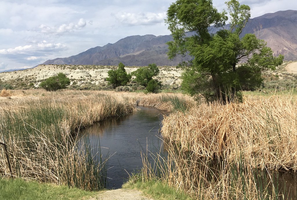
Owens River
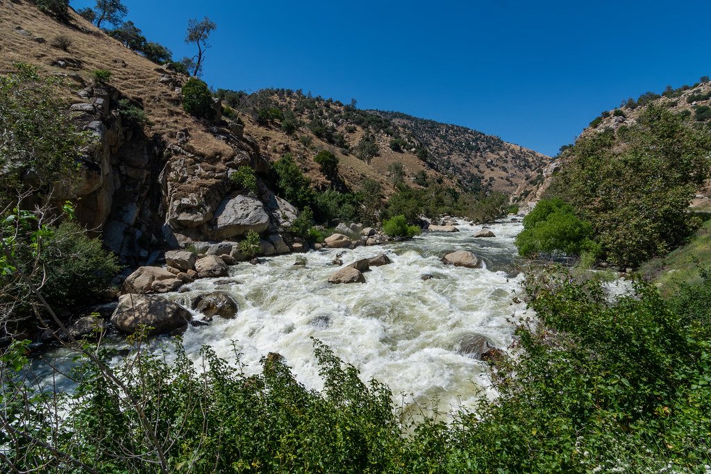
Kern River
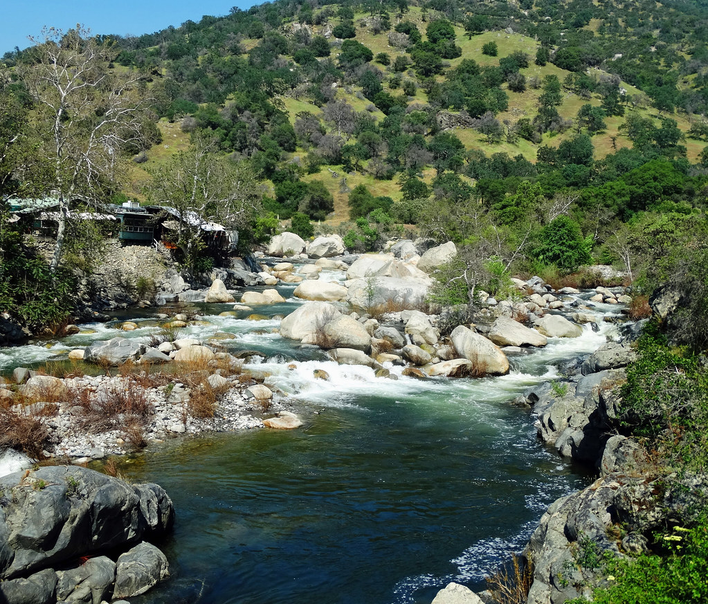
Kaweah River
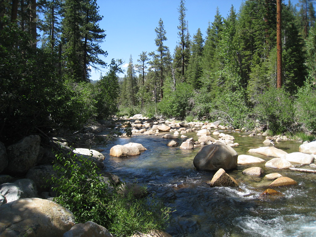
South Fork San Joaquin River
South Fork Bishop Creek
South Fork Kern River
North Fork Kings River
Salt Lake
East Fork Kaweah River
Explore California waters
Top paddling waters
Popular Cities
Loading popular cities...
Explore near Diaz Lake
Access points
Nearby waters
More in California

Smarter Paddling Starts in the App.
Paddleways gives you everything you need to plan smarter, paddle better, and own every trip from first launch to takeout.