Huntington Lake
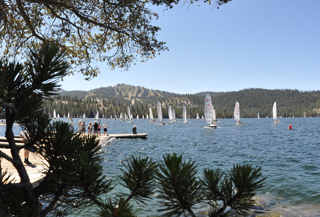
Huntington Lake
- Boat Ramps
- 2
- Access Points
- 3
- Campsites
- 19
Huntington Lake is a picturesque 1,435-acre reservoir located at 6,950 feet elevation in California's Sierra Nevada mountains. The lake stretches 4 miles long and 1/2 mile wide, with 14 miles of shoreline. Known for excellent sailing conditions due to steady afternoon winds, Huntington Lake also offers opportunities for kayaking, canoeing, and stand-up paddleboarding.
Several marinas and resorts around the lake provide boat rentals, launch ramps, and mooring facilities. A public boat launch is located on the northeast side. The lake's chilly water, typically in the 60°F range, may require wetsuits for some water activities.
Paddlers can enjoy scenic mountain views and explore the lake's numerous coves and inlets. The lake is stocked regularly with rainbow trout, brown trout, and kokanee salmon, making it a popular destination for kayak anglers. Wildlife enthusiasts may spot various bird species and potentially deer along the shoreline.
Seven U.S. Forest Service campgrounds, primarily situated along the north shore, offer convenient access for paddlers. Several lakeside resorts provide cabin rentals for those seeking more comfortable accommodations. Facilities at campgrounds typically include drinking water, toilets, and swimming areas.
While Huntington Lake is generally less crowded than nearby Shaver Lake, paddlers should be aware of potential boat traffic, especially during summer weekends when sailing regattas are common. The lake's high elevation means weather conditions can change rapidly, so paddlers should be prepared for afternoon winds and cooler temperatures.
For a unique paddling experience, visitors can explore the submerged remains of a World War II B-24 bomber that crashed into the lake in 1943. The lake's water levels are controlled by Southern California Edison, with levels typically lowered in the fall to prepare for spring runoff.
Water access, boat ramps & amenities
Learn how to get on Huntington Lake. Uncover great paddling access points, boat ramps, and all the facilities you need for an unforgettable day on the water. Some locations shown may border or include private property. Always check property boundaries and applicable regulations before visiting. PaddleWays's Public & Private Land layer can help you plan your access with confidence.
Paddle smarter with real-time insights
Whether you're en route and conditions shift or you're looking for the best spot based on current flows, we enable you to make informed decisions on the fly.








Find Places to Paddle

Over 400,000 Places to Paddle
Every user gets free access to launch points, boat ramps, and public property parcels.


Water and weather conditions (10 day forecast)
See the best times to paddle Huntington Lake and check the forecast before you go.
No forecast data available.
Paddling near Huntington Lake

San Joaquin River

Merced River
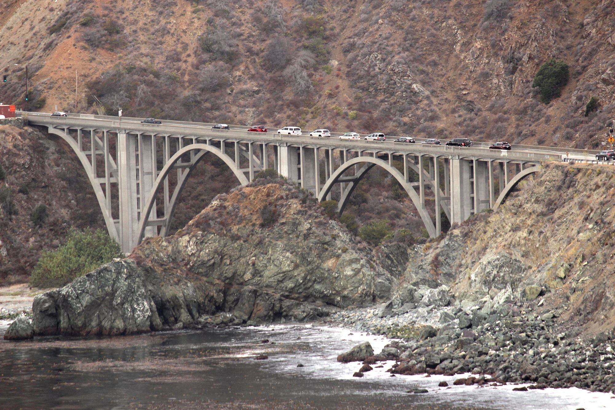
Big Creek
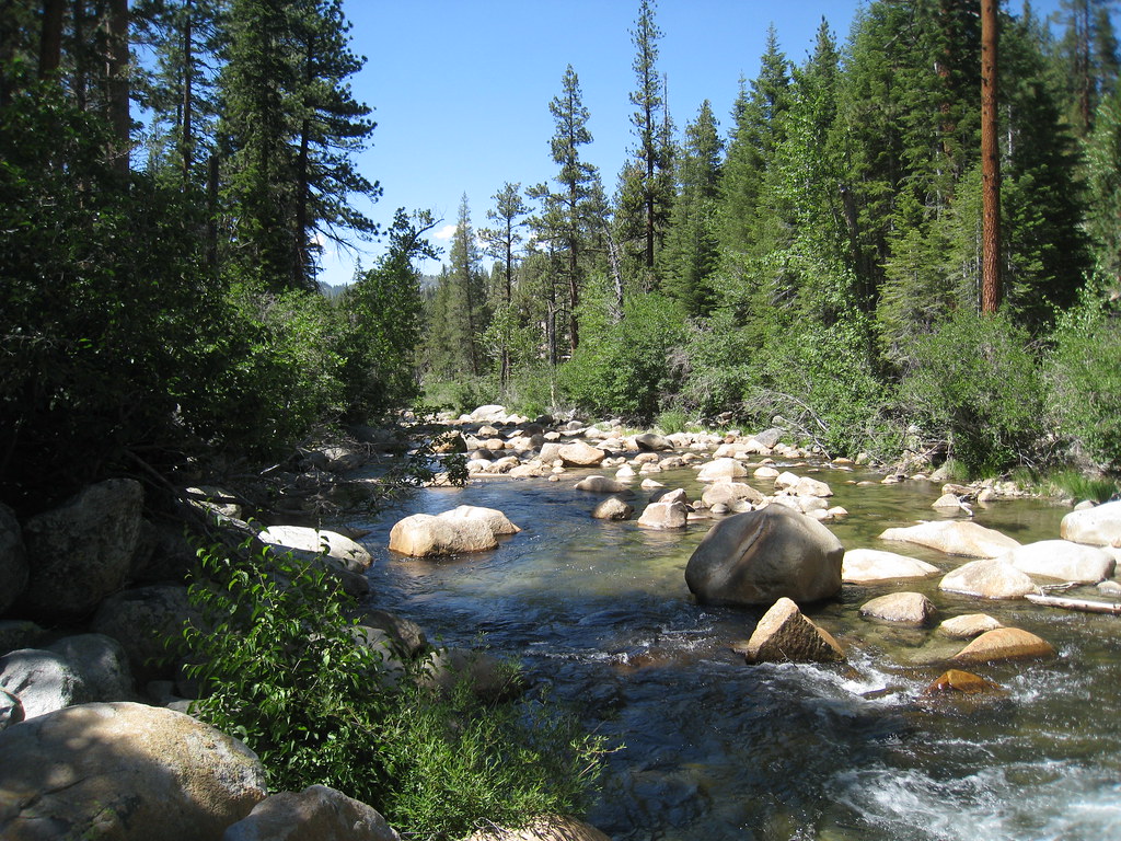
South Fork San Joaquin River
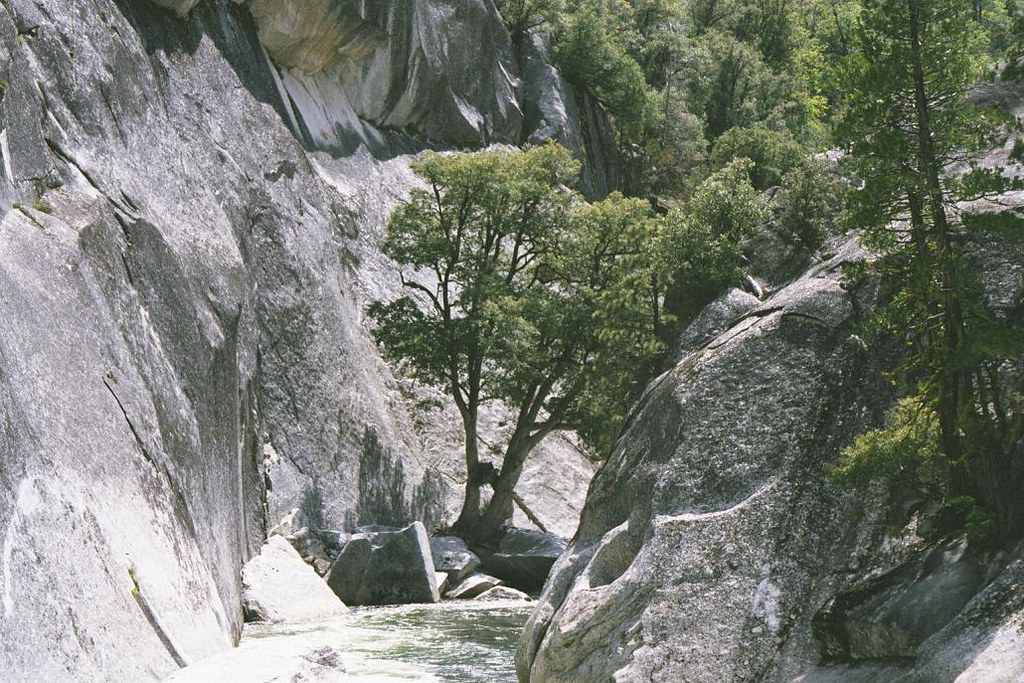
Middle Fork San Joaquin River
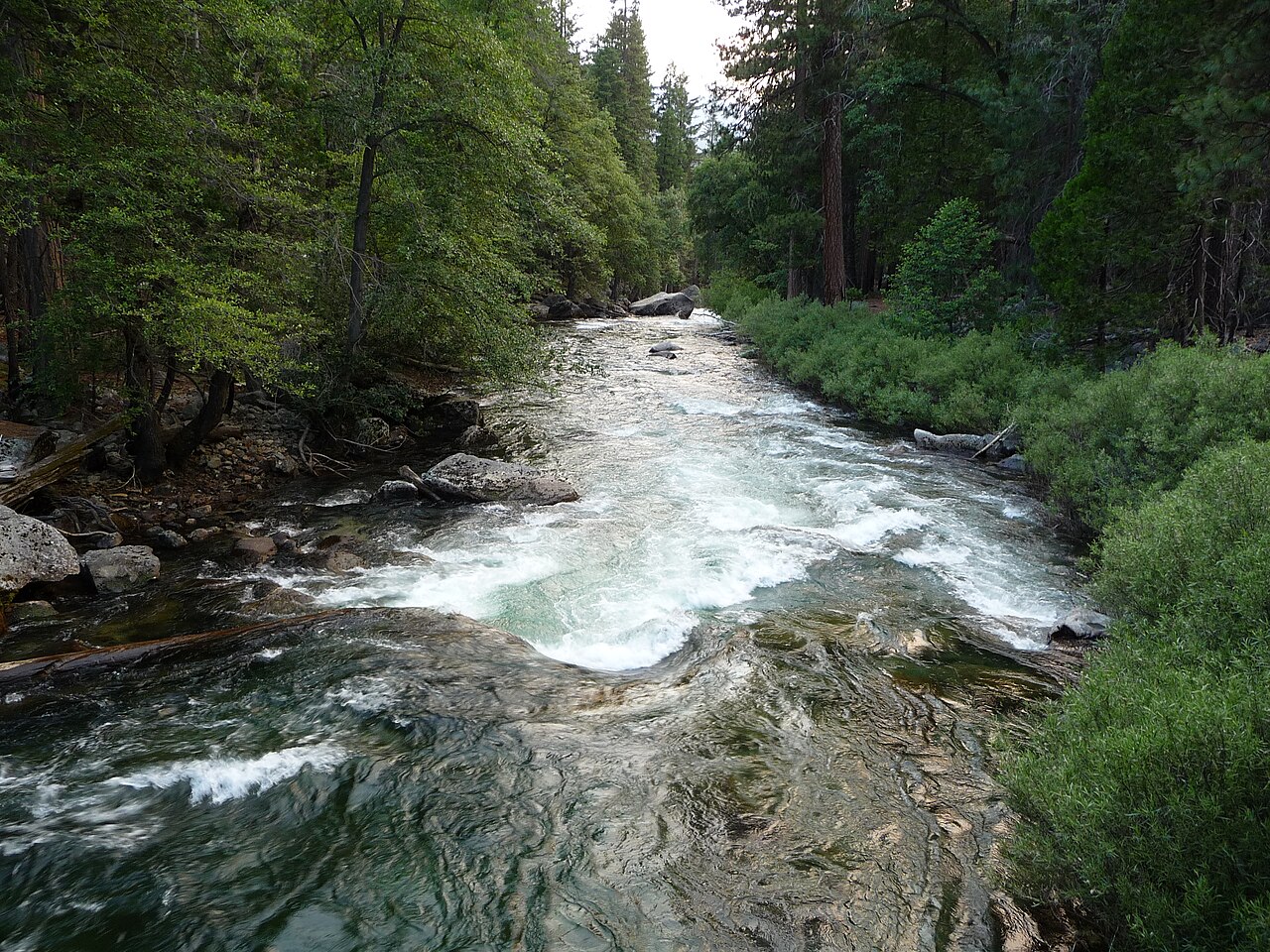
Kings River
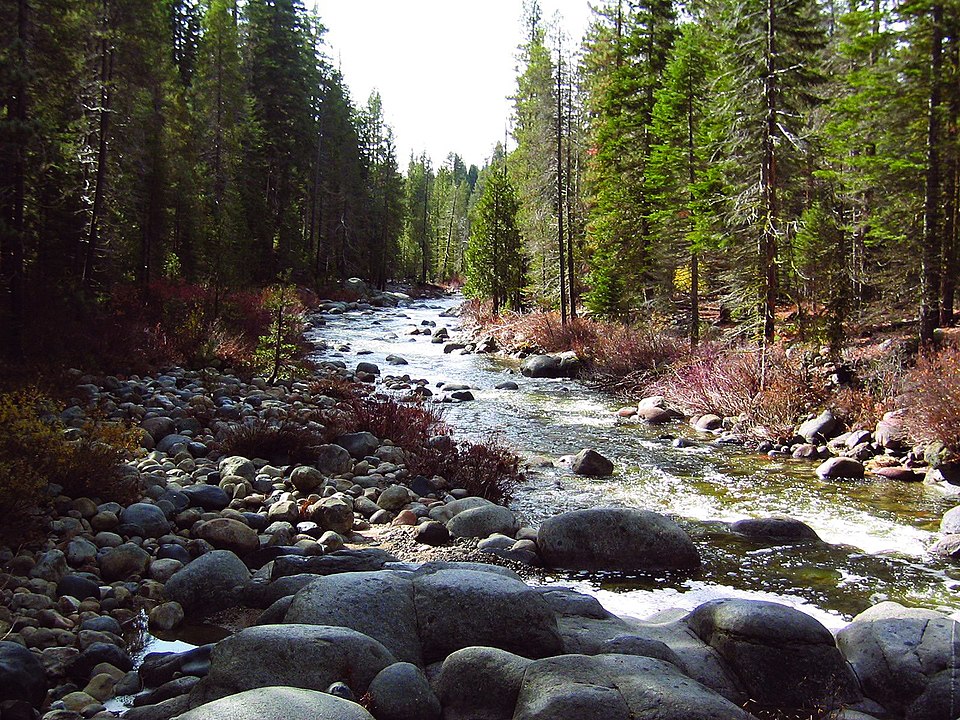
Dinkey Creek

Tuolumne River
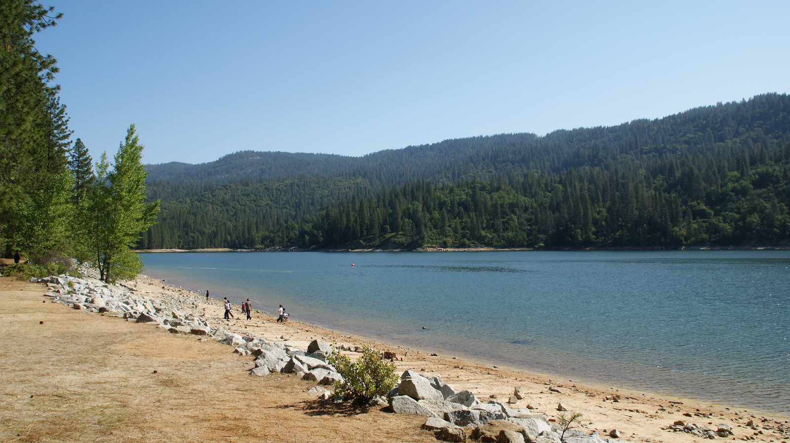
Bass Lake
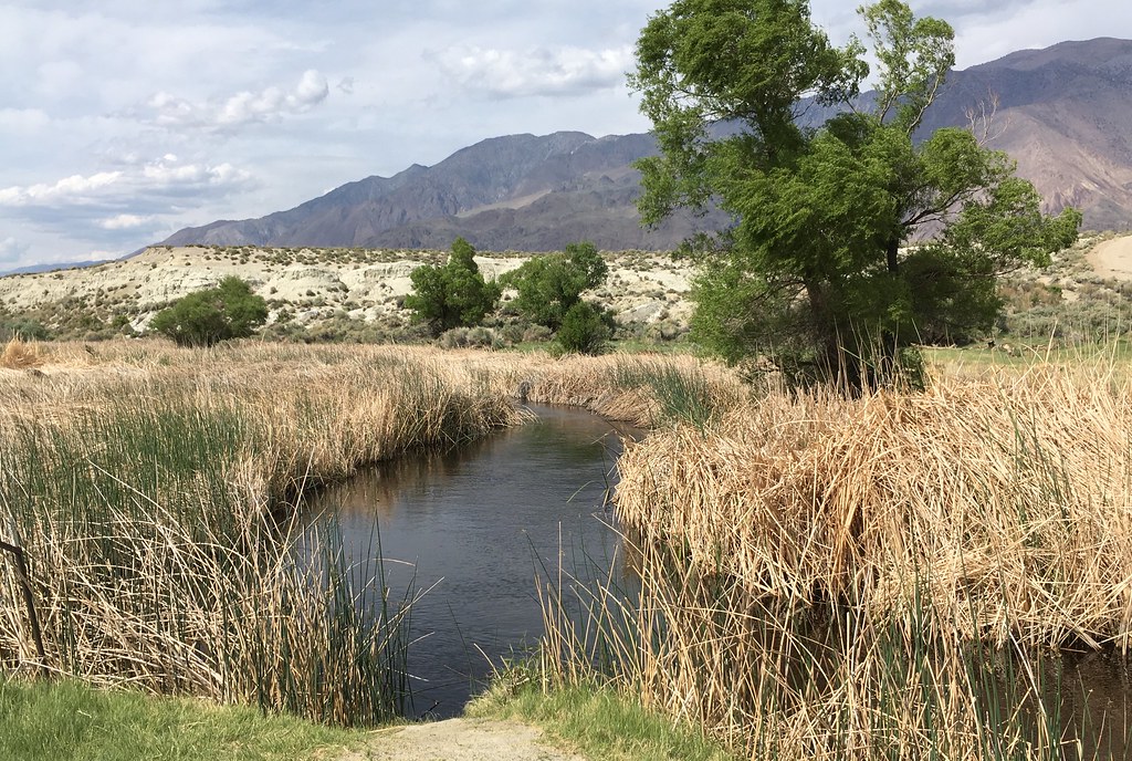
Owens River
Explore California waters
Top paddling waters
Popular Cities
Loading popular cities...
Explore near Huntington Lake
Access points
Nearby waters
More in California

Smarter Paddling Starts in the App.
Paddleways gives you everything you need to plan smarter, paddle better, and own every trip from first launch to takeout.