Lake Eleanor
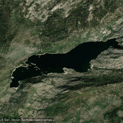
Lake Eleanor
- Boat Ramps
- 0
- Access Points
- 0
- Campsites
- 5
Lake Eleanor is a 1,500-acre reservoir located in the northwestern section of Yosemite National Park in Tuolumne County, California, at an elevation of 4,657 feet. Originally constructed in 1918 with a concrete dam as part of San Francisco's Hetch Hetchy water supply system, the lake offers paddlers a remote wilderness experience with breathtaking views of the surrounding Sierra Nevada landscape.
Access to Lake Eleanor requires hiking in from the nearest parking area, as the lake is situated in a backcountry setting. The trailhead is typically accessed via Cherry Lake Road (Forest Service Route 222), with approximately 1.5 miles of hiking to reach the shoreline. This remote location means paddlers won't face the crowds found at more accessible Yosemite waters, providing an opportunity for solitude and peaceful exploration.
Kayaking and non-motorized vessels are permitted on Lake Eleanor, though motorized boats are prohibited. The reservoir's pristine waters and scenic granite surroundings create an ideal environment for quiet paddling adventures. Summer water temperatures can reach comfortable levels for extended paddling sessions, though the high elevation means cooler conditions compared to lower-elevation lakes.
As part of the Hetch Hetchy water supply watershed, Lake Eleanor is subject to specific regulations designed to protect water quality. Swimming and bathing are prohibited throughout the reservoir. The lake's designation as a drinking water source means paddlers should be particularly mindful of waste disposal and maintaining clean equipment free from invasive species.
The surrounding landscape features meadows, wildflowers in season, and opportunities to observe wildlife including deer, birds, and occasionally bald eagles. The remote setting and limited visitor infrastructure mean paddlers should come prepared with all necessary supplies and practice Leave No Trace principles. The area offers excellent fishing for rainbow and brown trout, adding another dimension to a paddling visit.
Water access, boat ramps & amenities
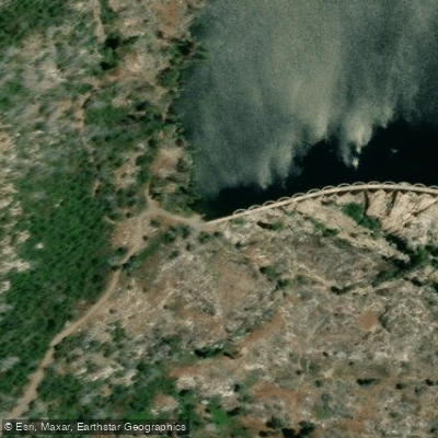
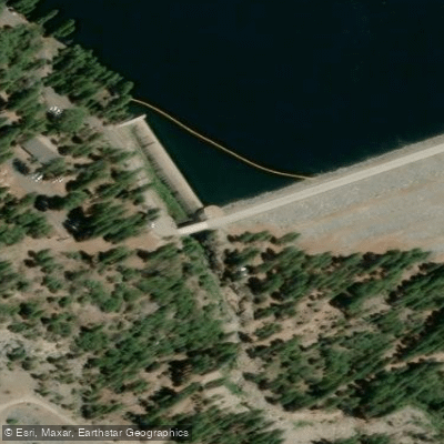
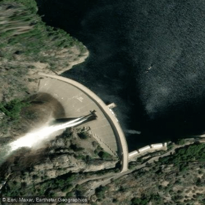
Learn how to get on Lake Eleanor. Uncover great paddling access points, boat ramps, and all the facilities you need for an unforgettable day on the water. Some locations shown may border or include private property. Always check property boundaries and applicable regulations before visiting. PaddleWays's Public & Private Land layer can help you plan your access with confidence.
Paddle smarter with real-time insights
Whether you're en route and conditions shift or you're looking for the best spot based on current flows, we enable you to make informed decisions on the fly.








Find Places to Paddle

Over 400,000 Places to Paddle
Every user gets free access to launch points, boat ramps, and public property parcels.


Water and weather conditions (10 day forecast)
See the best times to paddle Lake Eleanor and check the forecast before you go.
No forecast data available.
Paddling near Lake Eleanor

Merced River

Tuolumne River

San Joaquin River
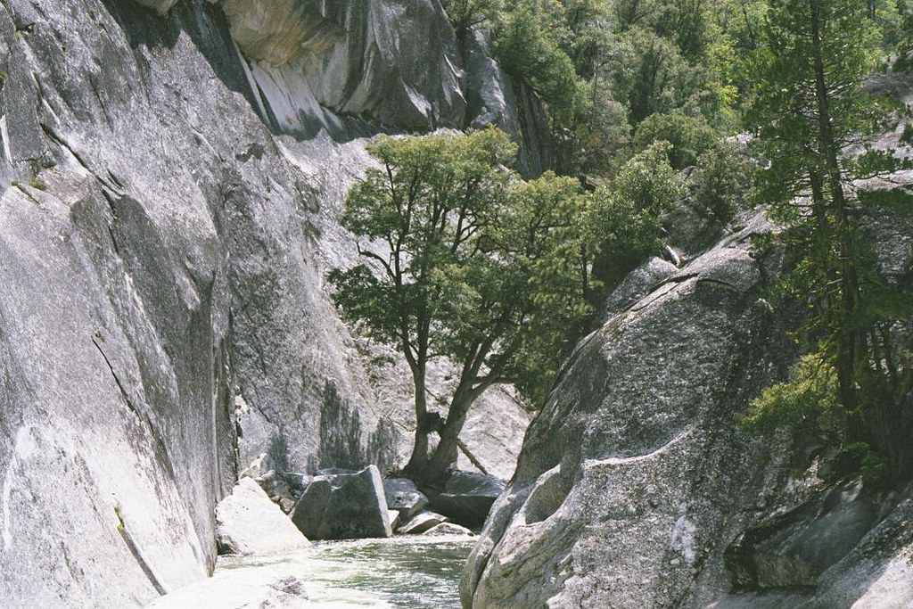
Middle Fork San Joaquin River
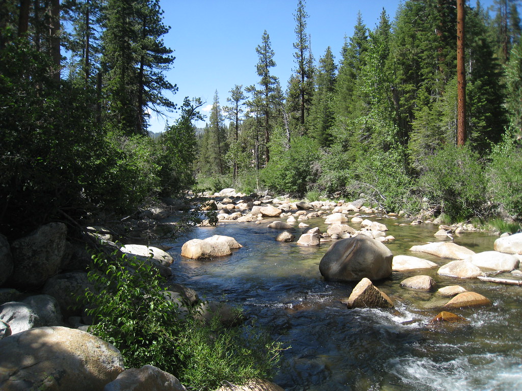
South Fork San Joaquin River

Stanislaus River
Middle Fork Stanislaus River
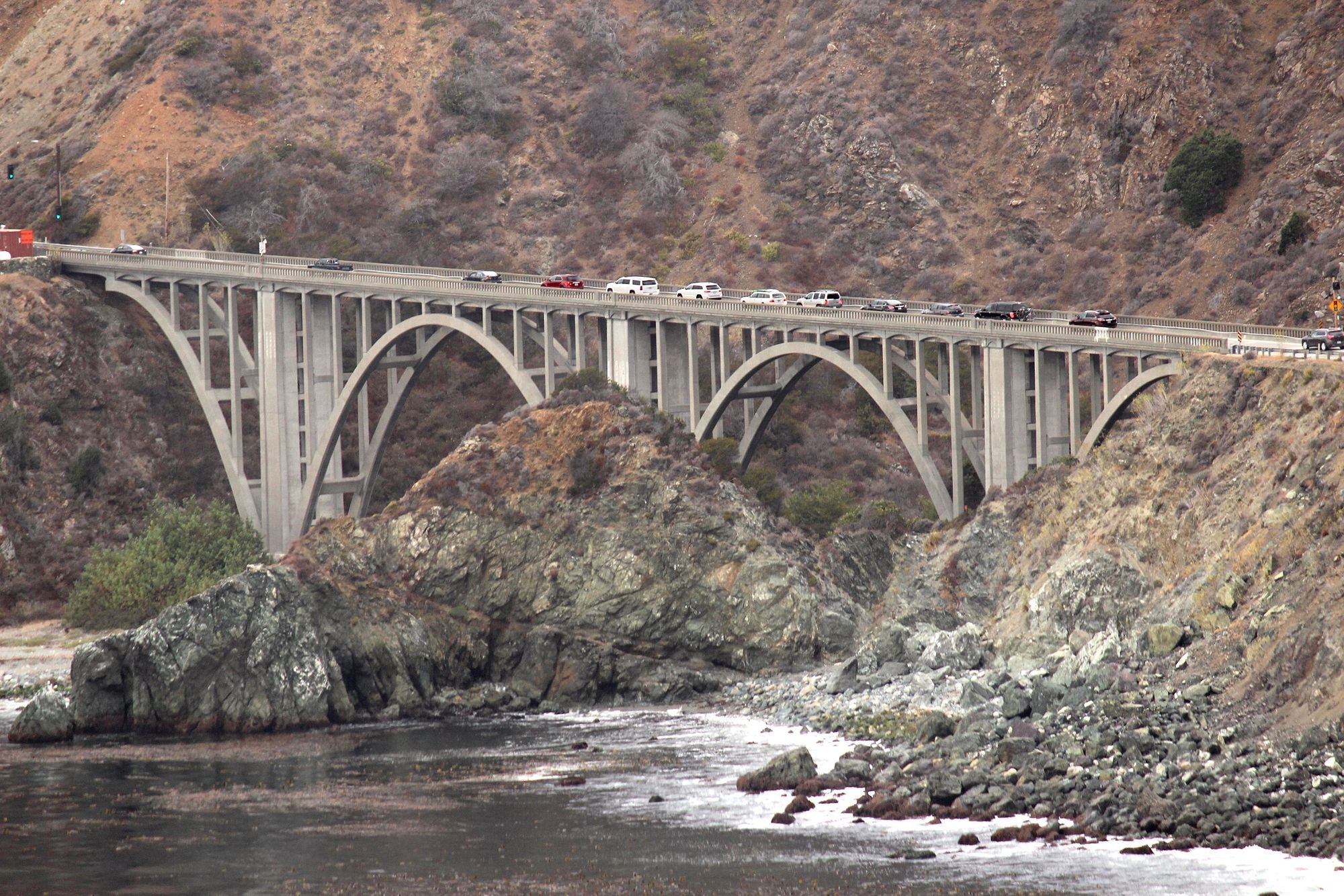
Big Creek
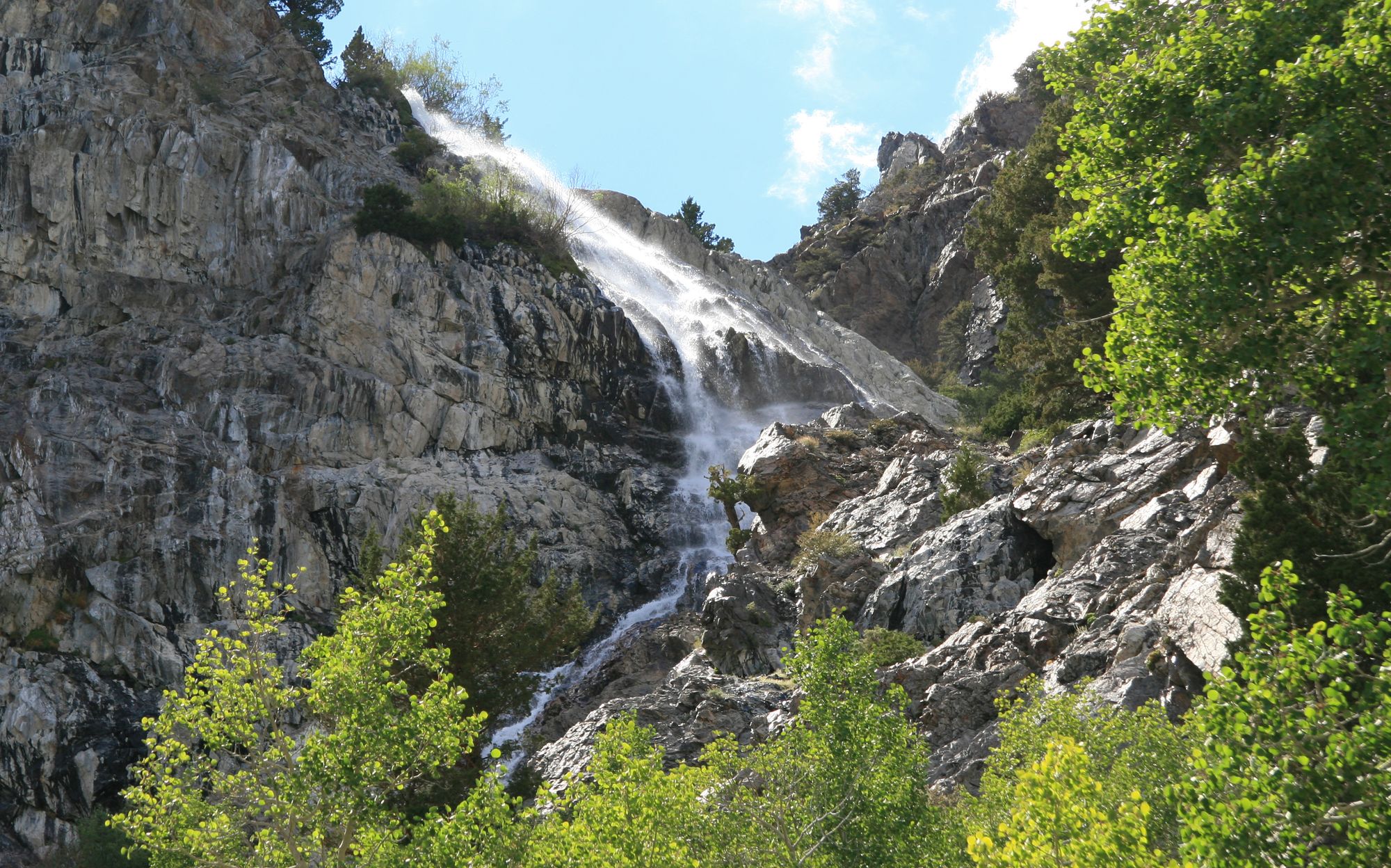
Rush Creek
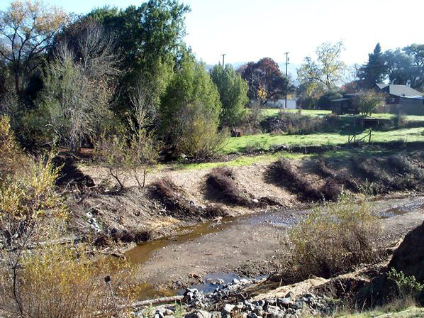
Robinson Creek
Explore California waters
Top paddling waters
Popular Cities
Loading popular cities...
Explore near Lake Eleanor
Access points
Nearby waters
More in California

Smarter Paddling Starts in the App.
Paddleways gives you everything you need to plan smarter, paddle better, and own every trip from first launch to takeout.