North Fork Willow Creek
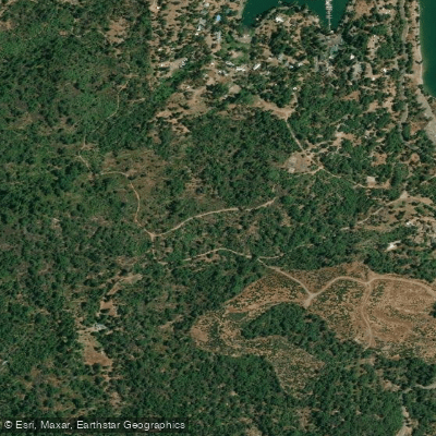
North Fork Willow Creek
- Boat Ramps
- 0
- Access Points
- 3
- Campsites
- 37
North Fork Willow Creek is a tributary stream flowing through the Sierra Nevada foothills of Madera County, California, eventually joining Willow Creek in the Bass Lake watershed. This waterway originates in the forested terrain east of Oakhurst and flows through steep, heavily wooded canyons characteristic of the western Sierra slope between approximately 3,000 and 5,000 feet in elevation. The creek drains a relatively small watershed dominated by mixed conifer forests including ponderosa pine, incense cedar, and black oak.
During spring runoff, typically from late March through May, the creek swells with snowmelt from higher elevations, creating fast-moving water through narrow channels lined with granite boulders and fallen timber. By mid-summer, flows diminish considerably, often reducing to isolated pools connected by shallow riffles.
North Fork Willow Creek supports a population of wild rainbow trout and brown trout in its upper reaches, with fishing access limited by the rugged terrain and dense riparian vegetation. The stream corridor provides habitat for black bears, mountain lions, mule deer, and various bird species including Steller's jays and acorn woodpeckers. The surrounding forest understory features manzanita, mountain misery, and seasonal wildflowers.
Access to North Fork Willow Creek is primarily achieved via forest roads branching from Highway 41 near the community of North Fork in Madera County. The terrain is steep and challenging, with limited developed access points. Most visitors approach the creek for fishing or hiking rather than paddling, as the narrow channel, frequent obstructions, and seasonal low flows make it unsuitable for watercraft during most conditions.
The area falls within Sierra National Forest lands, subject to U.S. Forest Service regulations. Visitors should be prepared for remote conditions with limited cell phone coverage and potential encounters with wildlife. The Creek Fire of 2020 impacted portions of the surrounding watershed, altering forest conditions and potentially affecting stream characteristics through increased erosion and debris flow.
Historical use of the watershed includes logging operations dating to the late 19th and early 20th centuries, with remnants of old logging roads still visible in some areas. The creek's proximity to Bass Lake, a popular recreation destination, means the lower reaches experience more human activity during summer months, though the upper watershed remains relatively isolated and wild. Winter and early spring present hazardous conditions with cold water temperatures, unpredictable flows, and difficult access due to snow and mud on forest roads.
Water access, boat ramps & amenities
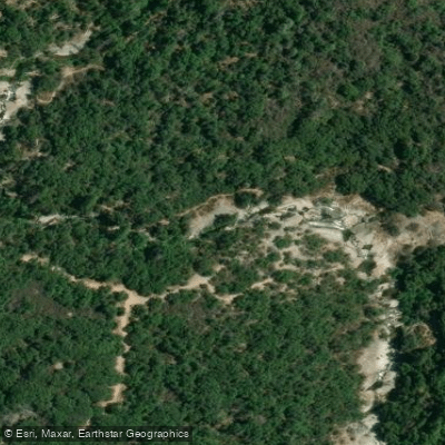
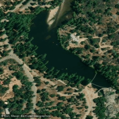
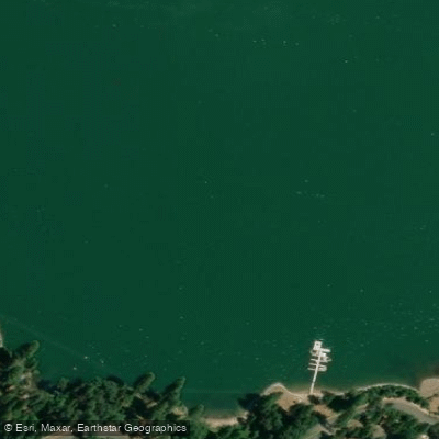
Learn how to get on North Fork Willow Creek. Uncover great paddling access points, boat ramps, and all the facilities you need for an unforgettable day on the water. Some locations shown may border or include private property. Always check property boundaries and applicable regulations before visiting. PaddleWays's Public & Private Land layer can help you plan your access with confidence.
Paddle smarter with real-time insights
Whether you're en route and conditions shift or you're looking for the best spot based on current flows, we enable you to make informed decisions on the fly.








Find Places to Paddle

Over 400,000 Places to Paddle
Every user gets free access to launch points, boat ramps, and public property parcels.


Water and weather conditions (10 day forecast)
See the best times to paddle North Fork Willow Creek and check the forecast before you go.
No forecast data available.
Paddling near North Fork Willow Creek

San Joaquin River

Merced River
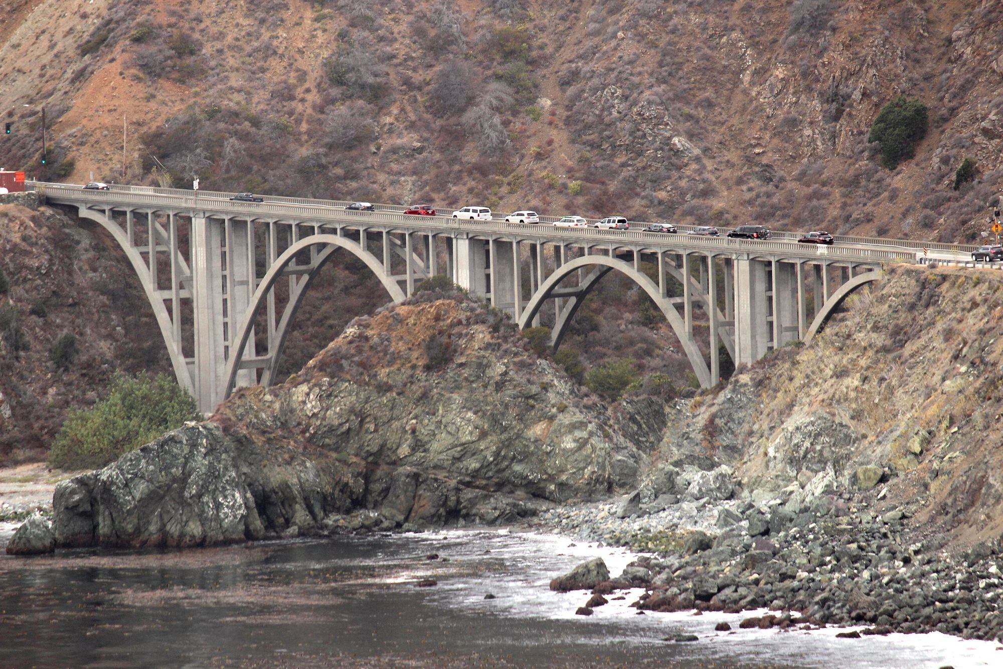
Big Creek
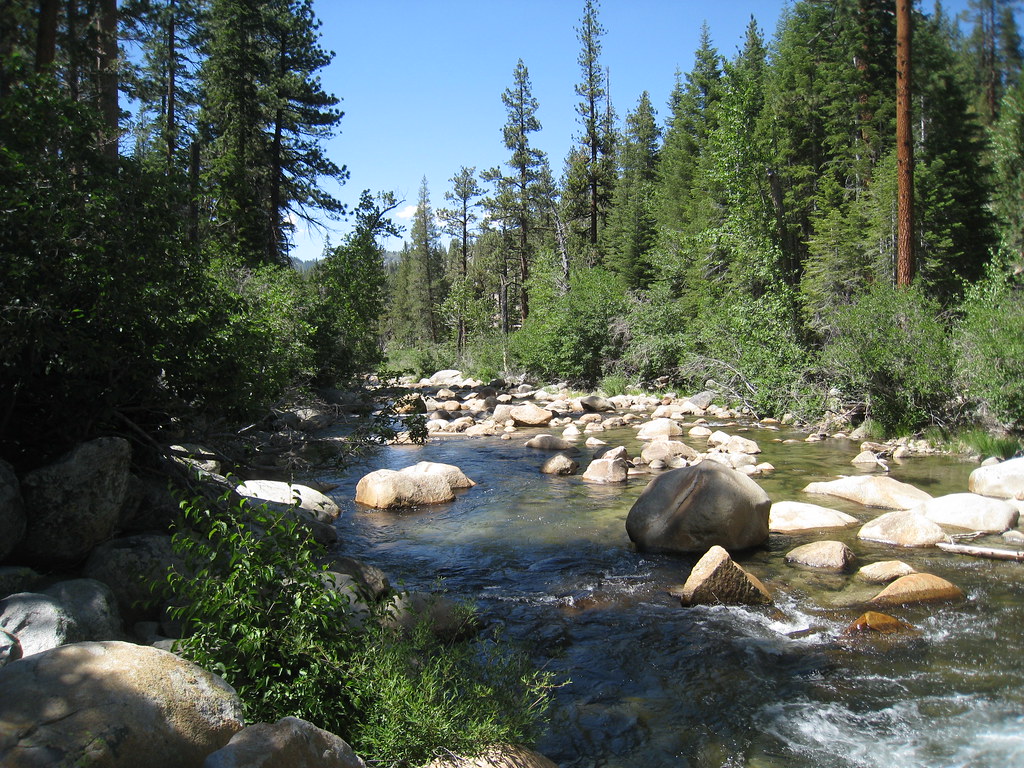
South Fork San Joaquin River
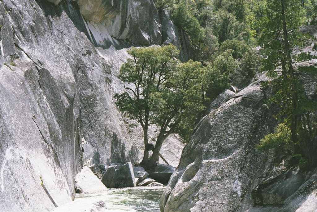
Middle Fork San Joaquin River
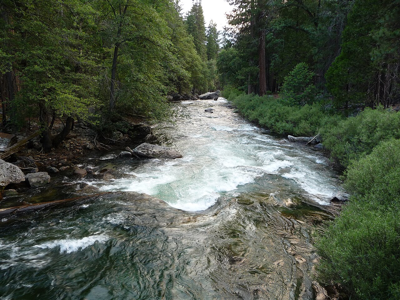
Kings River
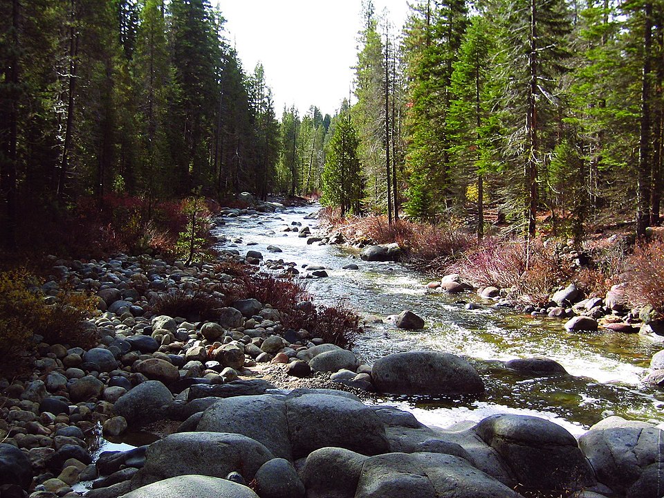
Dinkey Creek

Tuolumne River
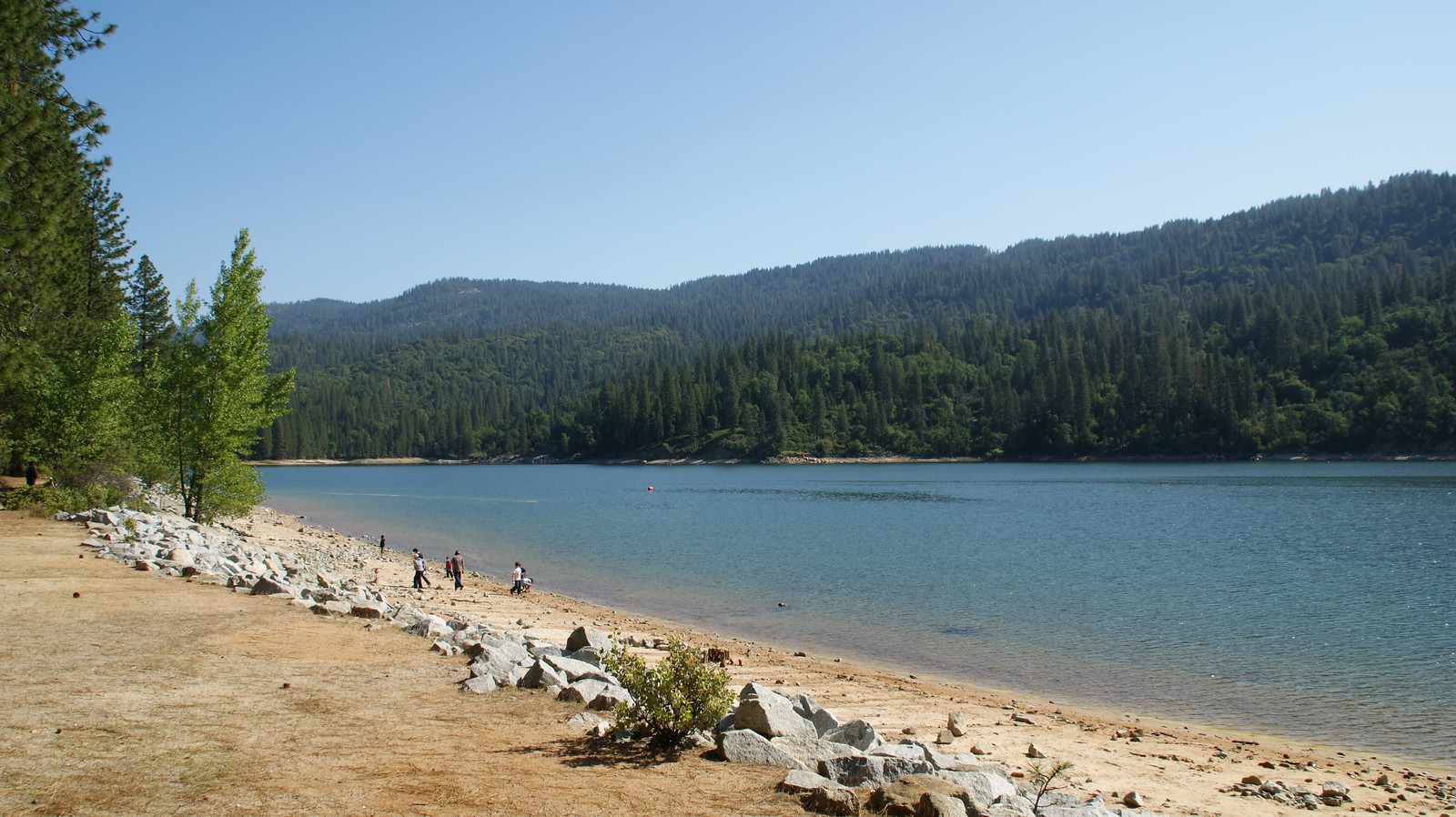
Bass Lake
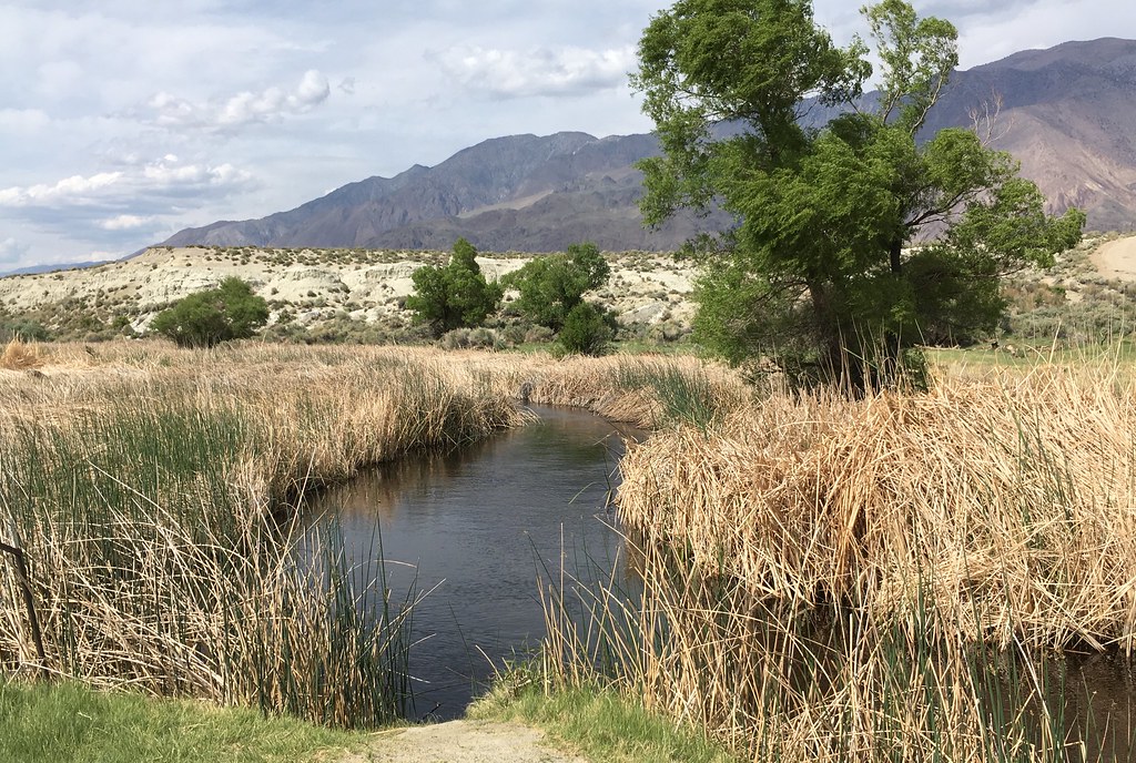
Owens River
Explore California waters
Top paddling waters
Popular Cities
Loading popular cities...
Explore near North Fork Willow Creek
Access points
- Willow Creek North Fork Access
- Manzanita Lake Access
- Bass Lake Access
- North Fork Willow Creek Bridge
- Willow Creek Bridge
- Northfork Willow Creek Bridge
- North Fork Willow Creek Bridge
- North Fork Willow Creek Bridge
- South Fork Willow Creek Bridge
- Chilkoot Creek Bridge
- Little Dry Creek Bridge
- Sales Creek Bridge
- All 63 spots
Nearby waters
More in California

Smarter Paddling Starts in the App.
Paddleways gives you everything you need to plan smarter, paddle better, and own every trip from first launch to takeout.