San Pablo Bay
- Saltwater
- Bay

San Pablo Bay
- Saltwater
- Bay
- Sq. miles
- 104
- Boat Ramps
- 0
- Access Points
- 0
- Campsites
- 3
San Pablo Bay is a large, open saltwater bay located between Suisun Bay to the east and San Francisco Bay to the south. It offers long-distance paddling experiences with a mix of navigable sloughs and open waters. The bay is known for its significant tidal currents, which paddlers must plan around. An ebb current flowing south can reach speeds of 2 knots, providing a notable assist or hindrance depending on direction. Slack water timing can be predicted but may be influenced by freshwater inflow from rivers. The area is exposed to wind, which is a particular challenge in the spring when it "comes up." The open waters of the bay present considerable fetch, making conditions highly variable.
Several public access points facilitate exploration. Convenient boat launches are located in Vallejo, Port Sonoma, and at Hudeman Slough. Black Point on Highway 37 is another launch site, offering the option to paddle north into the Petaluma River or south into San Pablo Bay. Point San Pablo Yacht Harbor serves as a launch for trips around Point San Pablo and nearby islands like The Brothers and The Sisters. The southern shore features the Point Pinole Regional Shoreline, which offers group camping accessible mainly by water and launch points from small beaches. McInnis Park and the calm waters near China Camp State Park, a few miles from San Rafael, are also noted as favorite spots for paddlers.
The bay's environment is rich in wildlife, with the north shore's Carneros Estuary forming part of a 15,000-acre mosaic of wetlands that is a major stop along the Pacific Flyway. Paddlers may encounter significant debris in the water, including driftwood, bottles, and plastic bags, especially after storms. Water quality can be a concern following reports of raw sewage spills or significant runoff, though paddlers often assess the risk as low. The scenery includes views of landmarks like the Richmond-San Rafael Bridge, Mount Veeder, and the Carneros hills. The overall paddling experience is suited for competent paddlers due to the potential for strong currents, wind, and open water conditions, with trips often planned to coincide with favorable tides and calm weather windows.
Water access, boat ramps & amenities
Learn how to get on San Pablo Bay. Uncover great paddling access points, boat ramps, and all the facilities you need for an unforgettable day on the water. Some locations shown may border or include private property. Always check property boundaries and applicable regulations before visiting. PaddleWays's Public & Private Land layer can help you plan your access with confidence.
Paddle smarter with real-time insights
Whether you're en route and conditions shift or you're looking for the best spot based on current flows, we enable you to make informed decisions on the fly.








Find Places to Paddle

Over 400,000 Places to Paddle
Every user gets free access to launch points, boat ramps, and public property parcels.


Tides, wind & water conditions (10 day forecast)
On open water, wind and tide matter as much as the weather. See the best times to paddle San Pablo Bay and check the marine forecast before you launch.
Loading tide predictions…
Paddling near San Pablo Bay

San Joaquin River

Sacramento River

Mokelumne River
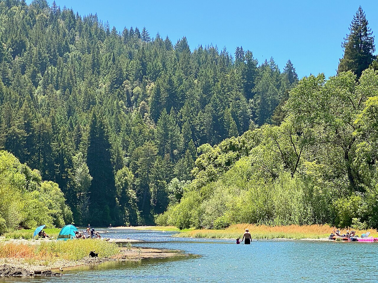
Russian River

San Francisco Bay
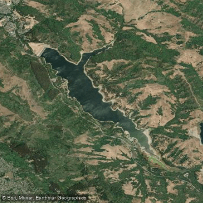
San Pablo Reservoir
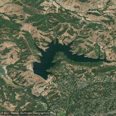
Briones Reservoir
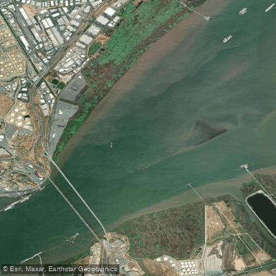
Suisun Bay
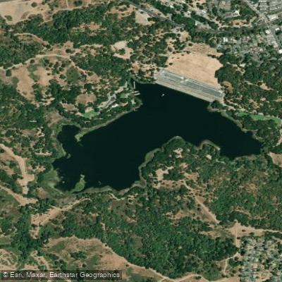
Lafayette Reservoir
Explore California waters
Top paddling waters
Popular Cities
Loading popular cities...
Explore near San Pablo Bay
Access points
Nearby waters
More in California

Smarter Paddling Starts in the App.
Paddleways gives you everything you need to plan smarter, paddle better, and own every trip from first launch to takeout.