San Francisco Bay
- Saltwater
- Bay

San Francisco Bay
- Saltwater
- Bay
- Sq. miles
- 267
- Boat Ramps
- 23
- Access Points
- 6
- Campsites
- 22
San Francisco Bay is a large, approximately 500-square-mile saltwater bay offering a diverse paddling environment that combines iconic urban scenery with significant natural and maritime history. The Bay Area Water Trail provides a growing network of designated launch and landing sites, or trailheads, for non-motorized small boats. Popular and accessible launch points for paddlers include Crane Cove Park in San Francisco, South Beach Harbor at Pier 40, and operations in Sausalito and Alameda. These locations offer direct access to protected bay waters, with some providing rental services, gear storage, and lessons. Key paddling routes explore areas like McCovey Cove near the Giants' ballpark, the Sausalito houseboat communities, and Alameda's Ballena Isle, offering views of the city skyline, the Bay Bridge, and the Golden Gate Bridge. Conditions vary dramatically across the bay's microclimates. The Pacific Ocean side is notoriously cold year-round, while waters in the northern reaches like San Pablo Bay can reach 70 degrees Fahrenheit in summer. Wind, tides, and boat traffic are major considerations. The bay experiences significant tidal ranges and currents, and areas near the Golden Gate Bridge or shipping channels can have choppy, windy conditions and heavy vessel traffic, requiring caution. Paddling within protected coves like Aquatic Park or Mission Creek is recommended for beginners, as these areas are shielded from larger waves and strong currents. Always wear a personal flotation device. Water quality can vary, and it is advisable to check bay water quality reports before entering. The paddling experience ranges from calm, urban creek explorations to more dynamic, open-bay adventures suitable for developing intermediate skills, with numerous guided tours and instructional classes available for all levels.
Water access, boat ramps & amenities
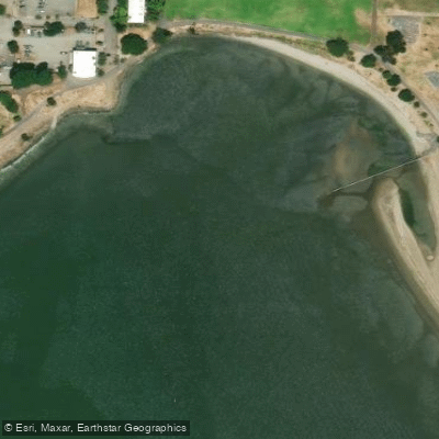
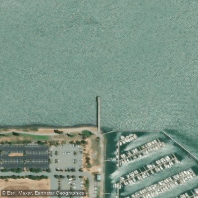
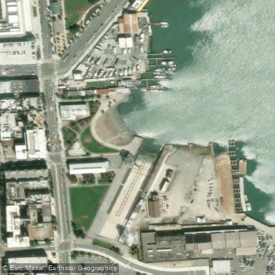
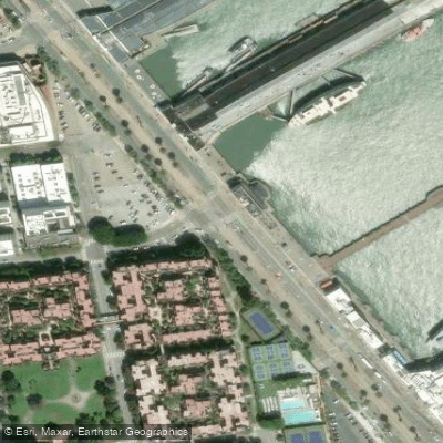
Learn how to get on San Francisco Bay. Uncover great paddling access points, boat ramps, and all the facilities you need for an unforgettable day on the water. Some locations shown may border or include private property. Always check property boundaries and applicable regulations before visiting. PaddleWays's Public & Private Land layer can help you plan your access with confidence.
Paddle smarter with real-time insights
Whether you're en route and conditions shift or you're looking for the best spot based on current flows, we enable you to make informed decisions on the fly.








Find Places to Paddle

Over 400,000 Places to Paddle
Every user gets free access to launch points, boat ramps, and public property parcels.


Tides, wind & water conditions (10 day forecast)
On open water, wind and tide matter as much as the weather. See the best times to paddle San Francisco Bay and check the marine forecast before you launch.
Loading tide predictions…
Paddling near San Francisco Bay

San Joaquin River

Sacramento River

Mokelumne River
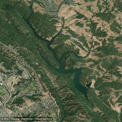
Upper San Leandro Reservoir

San Pablo Bay
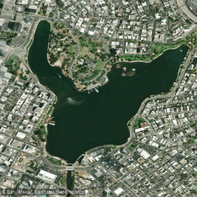
Lake Merritt
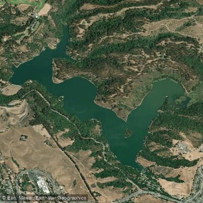
Lake Chabot
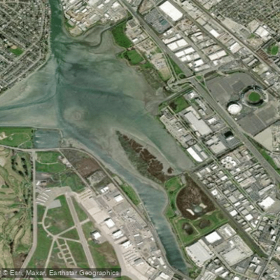
San Leandro Bay
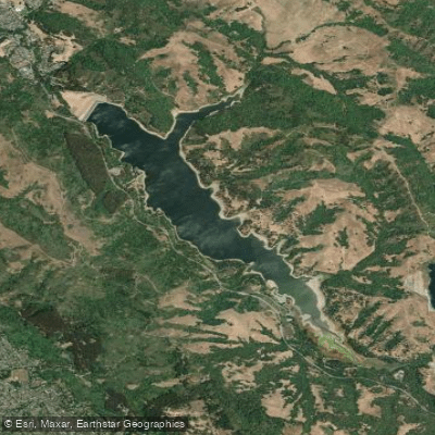
San Pablo Reservoir
Explore California waters
Top paddling waters
Popular Cities
Loading popular cities...
Explore near San Francisco Bay
Access points
- Emery Cove Yacht Harbor Boat Ramp
- South Beach Harbor Boat Ramp
- San Francisco Marina Boat Ramp
- Ballena Isle Marina Boat Ramp
- Loch Lomond Marina Boat Ramp
- Emeryville Marina Boat Ramp
- Ayala Cove Marina Boat Ramp
- Angel Island State Park - Ayala Cove Boat Ramp
- Berkeley Marina Boat Ramp
- San Leandro Shoreline Recreation Area Boat Ramp
- Kite launch 3rd Ave Lower Boat Ramp
- Grand Marina Boat Ramp
- All 239 spots
Nearby waters
More in California

Smarter Paddling Starts in the App.
Paddleways gives you everything you need to plan smarter, paddle better, and own every trip from first launch to takeout.