Suisun Bay
- Saltwater
- Bay
Suisun Bay
- Saltwater
- Bay
- Sq. miles
- 2.7
- Boat Ramps
- 0
- Access Points
- 0
- Campsites
- 1
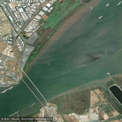
Suisun Bay is a large, tidal bay within the San Francisco Bay system, located downstream from the confluence of the Sacramento and San Joaquin Rivers. It is an expansive water body characterized by its connection to the broader Delta and its significant tidal flows. The northern shoreline provides several public boat launch sites that serve as primary access points for paddlers, including the Suisun City Marina and Boat Ramp and McAvoy Yacht Harbor near Pittsburg. McAvoy Yacht Harbor offers a boat ramp, parking, and restrooms, with calm and sheltered conditions suitable for beginners, though paddlers should time their trips around slack tide for the easiest conditions. The winding backwaters of the adjacent Suisun Marsh offer more protected routes for exploration, featuring channels lined with common reed, cattails, and tule. These marsh areas, such as the restored Pacheco Marsh, provide tranquil waters and important wildlife habitat, with opportunities to see egrets, sea lions, and the endangered salt marsh harvest mouse.
Paddling in Suisun Bay requires careful planning due to several key factors. Tidal currents are a dominant force, and paddlers must account for them when planning routes, as trips can strategically use the current for travel. Strong winds are a known hazard that can catch newcomers off guard, creating challenging conditions, especially on the open bay. Morning hours generally offer calmer winds. The southern channel experiences busy shipping traffic, requiring vigilance and caution, particularly when crossing open water or navigating near marinas. The bay's open expanse means it can develop a significant fetch in windy conditions. The dynamic tidal and wind environment dictates that trips are best undertaken by those prepared for changing conditions. The area offers a range of trip types, from short loops in the marsh to longer adventures, such as a 14-mile route from Pittsburg out around Chipps Island. The waterfront in Suisun City provides a scenic backdrop, with views of Mount Diablo and the Napa Range, and sunset paddles are a popular way to experience the area. The overall character is one of a working waterway intertwined with recovering wetlands, offering paddlers a mix of open-water challenge and serene marshland exploration.
Water access, boat ramps & amenities
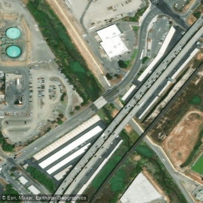
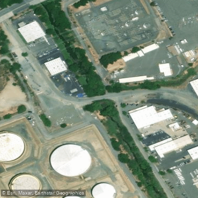
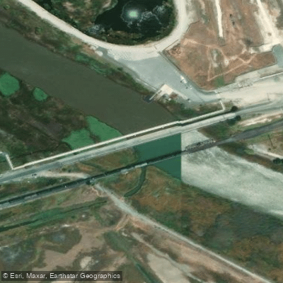
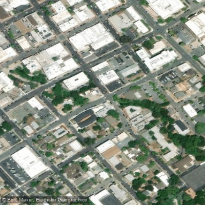
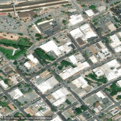
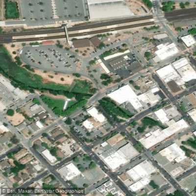
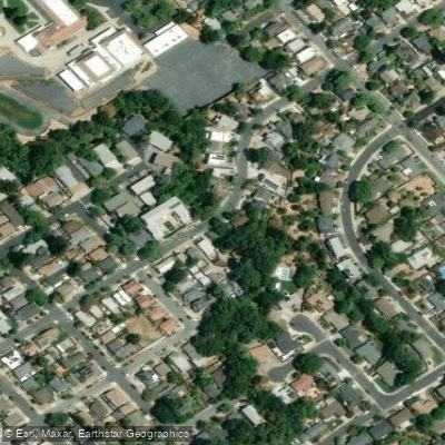
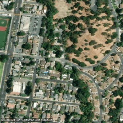
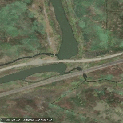
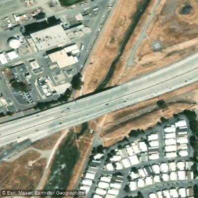
Learn how to get on Suisun Bay. Uncover great paddling access points, boat ramps, and all the facilities you need for an unforgettable day on the water. Some locations shown may border or include private property. Always check property boundaries and applicable regulations before visiting. PaddleWays's Public & Private Land layer can help you plan your access with confidence.
Paddle smarter with real-time insights
Whether you're en route and conditions shift or you're looking for the best spot based on current flows, we enable you to make informed decisions on the fly.








Find Places to Paddle

Over 400,000 Places to Paddle
Every user gets free access to launch points, boat ramps, and public property parcels.


Tides, wind & water conditions (10 day forecast)
On open water, wind and tide matter as much as the weather. See the best times to paddle Suisun Bay and check the marine forecast before you launch.
Loading tide predictions…
Paddling near Suisun Bay

San Joaquin River

Sacramento River

San Pablo Bay

Mokelumne River
Russian River

San Francisco Bay
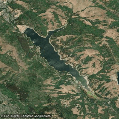
San Pablo Reservoir
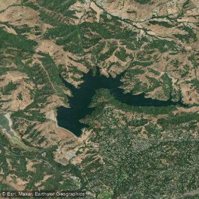
Briones Reservoir
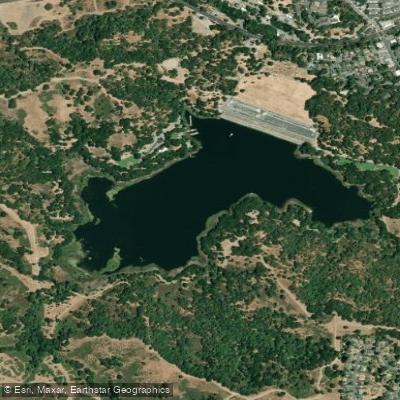
Lafayette Reservoir
Explore California waters
Top paddling waters
Popular Cities
Loading popular cities...
Explore near Suisun Bay
Access points
Nearby waters
More in California

Smarter Paddling Starts in the App.
Paddleways gives you everything you need to plan smarter, paddle better, and own every trip from first launch to takeout.