San Simeon Bay
- Saltwater
- Bay
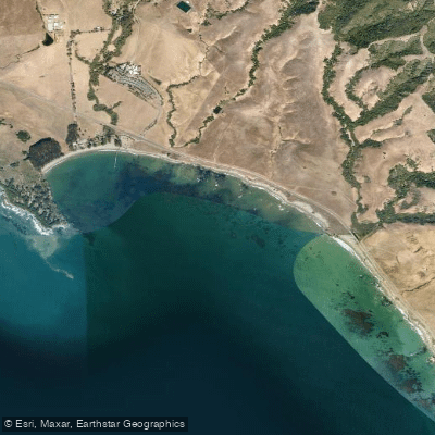
San Simeon Bay
- Saltwater
- Bay
- Sq. miles
- 1.2
- Boat Ramps
- 0
- Access Points
- 1
- Campsites
- 3
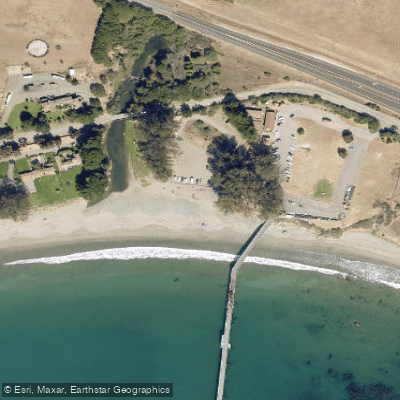
San Simeon Bay is a coastal bay located within the Monterey Bay National Marine Sanctuary on California's Central Coast. The primary and most sheltered launch and take-out point for paddlers is from the sandy beach within William R. Hearst Memorial State Beach, a protected cove often referred to as "The Cove." This area provides a straightforward launch into calm, sheltered water, with ample parking available. The San Simeon Pier, a historic structure built in 1957, is a prominent landmark within the bay and a focal point for activity. Paddling conditions are generally characterized by sheltered water, making it suitable for various experience levels, though paddlers should always be mindful of wind and sea state, which are often calmest in the early morning and around sunset. The bay's clear blue waters and the surrounding white sand beaches and rocky bluffs create a scenic environment for exploration. Wildlife is a significant feature, with the area being home to 34 species of marine mammals, including migrating gray, humpback, and blue whales, as well as orcas. The rocky reefs and tide pools along the shoreline, accessible at low tide, host a variety of intertidal life such as mussels, crabs, anemones, and starfish. Facilities for paddlers include the nearby Coastal Discovery Center, which offers educational exhibits, and Sebastian's Café is located close to the beach area. While a popular kayak rental business has previously operated in the cove, its current status is uncertain, so paddlers should confirm rental availability in advance or plan to bring their own equipment.
Water access, boat ramps & amenities
Learn how to get on San Simeon Bay. Uncover great paddling access points, boat ramps, and all the facilities you need for an unforgettable day on the water. Some locations shown may border or include private property. Always check property boundaries and applicable regulations before visiting. PaddleWays's Public & Private Land layer can help you plan your access with confidence.
Paddle smarter with real-time insights
Whether you're en route and conditions shift or you're looking for the best spot based on current flows, we enable you to make informed decisions on the fly.








Find Places to Paddle

Over 400,000 Places to Paddle
Every user gets free access to launch points, boat ramps, and public property parcels.


Tides, wind & water conditions (10 day forecast)
On open water, wind and tide matter as much as the weather. See the best times to paddle San Simeon Bay and check the marine forecast before you launch.
Loading tide predictions…
Paddling near San Simeon Bay
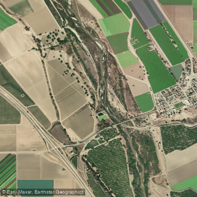
Salinas River
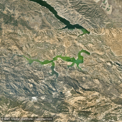
Lake Nacimiento
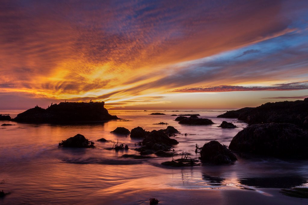
Estero Bay
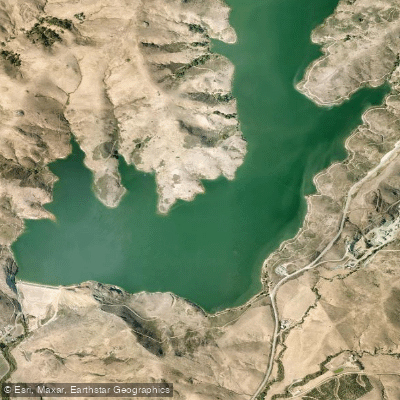
Whale Rock Reservoir
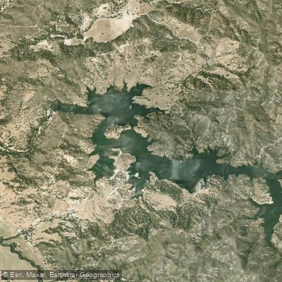
Santa Margarita Lake
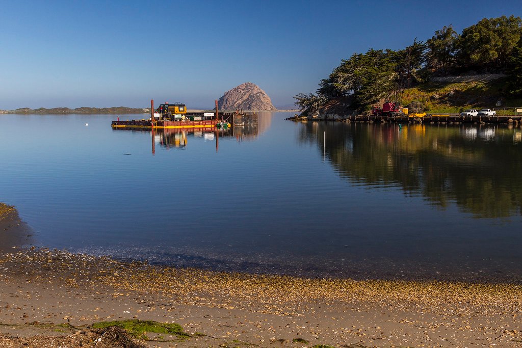
Morro Bay
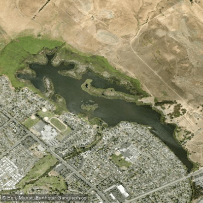
Laguna Lake
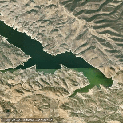
Lake San Antonio
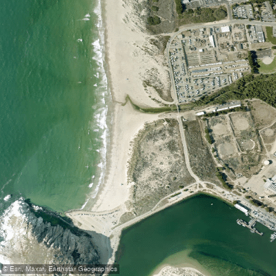
Morro Rock Beach
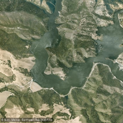
Lopez Lake
Explore California waters
Top paddling waters
Popular Cities
Loading popular cities...
Explore near San Simeon Bay
Access points
Nearby waters
More in California

Smarter Paddling Starts in the App.
Paddleways gives you everything you need to plan smarter, paddle better, and own every trip from first launch to takeout.