Santa Ana River
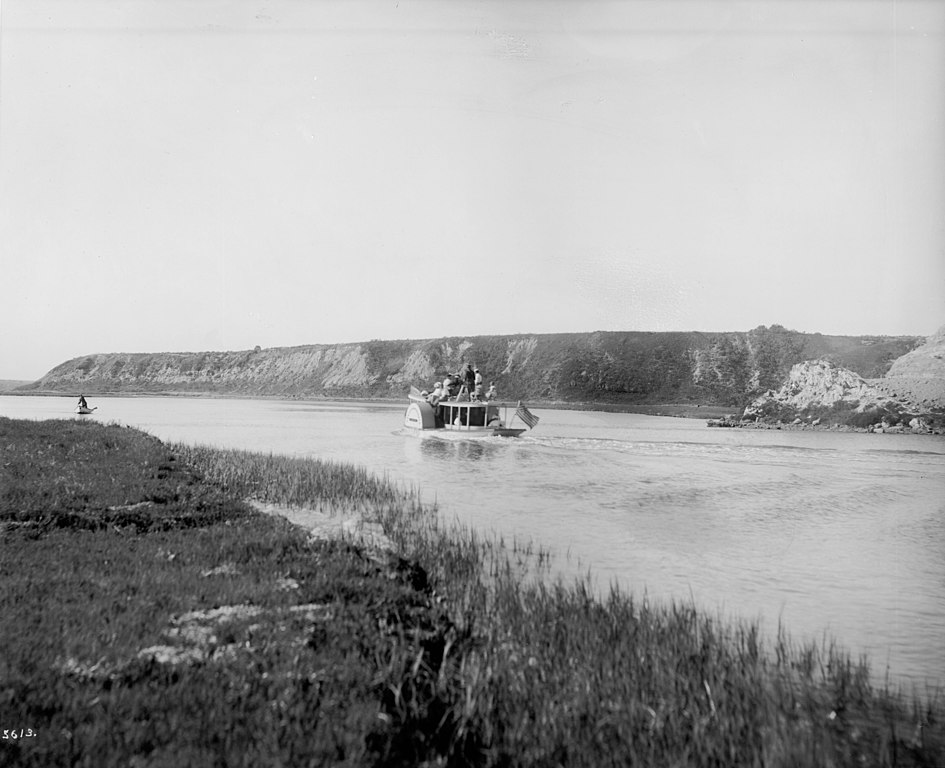
Santa Ana River
- Boat Ramps
- 0
- Access Points
- 0
- Campsites
- 77
The Santa Ana River is a major waterway in Southern California, originating high in the San Bernardino Mountains and flowing southwest for approximately 100 miles before emptying into the Pacific Ocean between Newport Beach and Huntington Beach. Its watershed covers over 2,650 square miles across San Bernardino, Riverside, and Orange counties.
Paddling opportunities on the Santa Ana River are limited but growing. The most popular section for recreational kayaking is a 2-mile stretch near Featherly Regional Park in Yorba Linda, between the Gypsum Canyon and Yorba Linda bridges. This flatwater to Class I section offers scenic views and is suitable for beginners. Another notable paddling area is the Newport Beach section near the river mouth, which provides a unique urban paddling experience with ocean views. The overall difficulty ranges from flatwater to Class I, making it accessible for novice paddlers. However, water levels can fluctuate significantly, so checking current conditions is essential. The best paddling times are typically in spring and early summer when snowmelt increases flow, though sections near the coast can be paddled year-round.
The river supports a diverse ecosystem, including riparian forests, wetlands, and coastal sage scrub. Wildlife such as great blue herons, egrets, and various fish species can be observed along its course. Key landmarks include the Prado Dam, which plays a crucial role in flood control, and the Santa Ana River Trail, a popular multi-use path that follows much of the river's length.
Access points vary by section. The Featherly Regional Park area in Yorba Linda offers established put-ins, while the Newport Beach section can be accessed near the Newport Aquatic Center. Other potential access points exist along the river's course, but paddlers should verify legality and safety before use.
Historically, the Santa Ana River has been vital for water supply and flood control in the region. Today, it continues to play a crucial role in groundwater recharge and supports various recreational activities. However, paddlers should be aware that recreational boating has been restricted in some areas, particularly in Orange County. Always check current regulations and obtain necessary permits before paddling.
Safety considerations include variable water quality, especially after rains, and the potential for rapid changes in water levels. Paddlers should also be cautious of low-head dams and other man-made structures along the river. While multi-day trips are not common on the Santa Ana River due to access limitations and urban development along its course, day trips exploring different sections can provide a comprehensive experience of this important Southern California waterway.
Water access, boat ramps & amenities
Learn how to get on Santa Ana River. Uncover great paddling access points, boat ramps, and all the facilities you need for an unforgettable day on the water. Some locations shown may border or include private property. Always check property boundaries and applicable regulations before visiting. PaddleWays's Public & Private Land layer can help you plan your access with confidence.

Paddle smarter with real-time insights
Whether you're en route and conditions shift or you're looking for the best spot based on current flows, we enable you to make informed decisions on the fly.








Find Places to Paddle

Over 400,000 Places to Paddle
Every user gets free access to launch points, boat ramps, and public property parcels.


Water and weather conditions (10 day forecast)
See the best times to paddle Santa Ana River and check the forecast before you go.
SAR SUPP GAGE NR MENTONE CA
All Flow Stations
Paddling near Santa Ana River
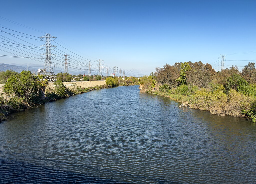
San Gabriel River
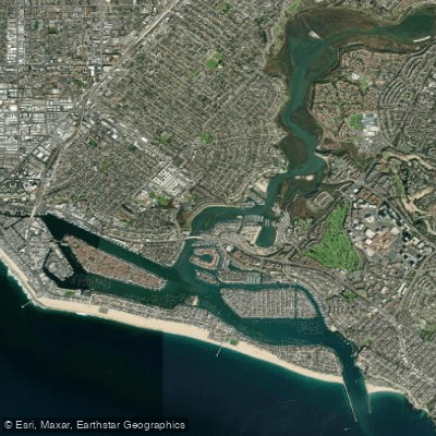
Newport Bay
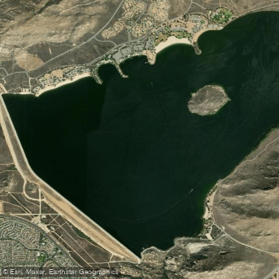
Perris Reservoir
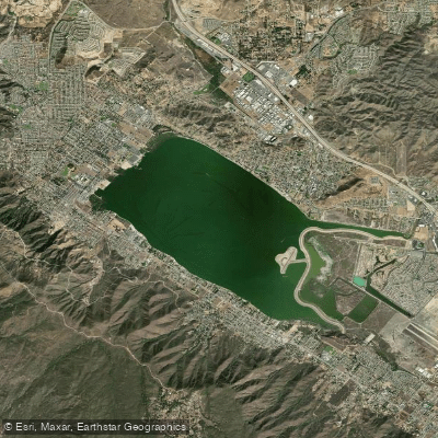
Lake Elsinore
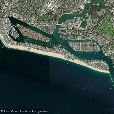
Balboa Beach
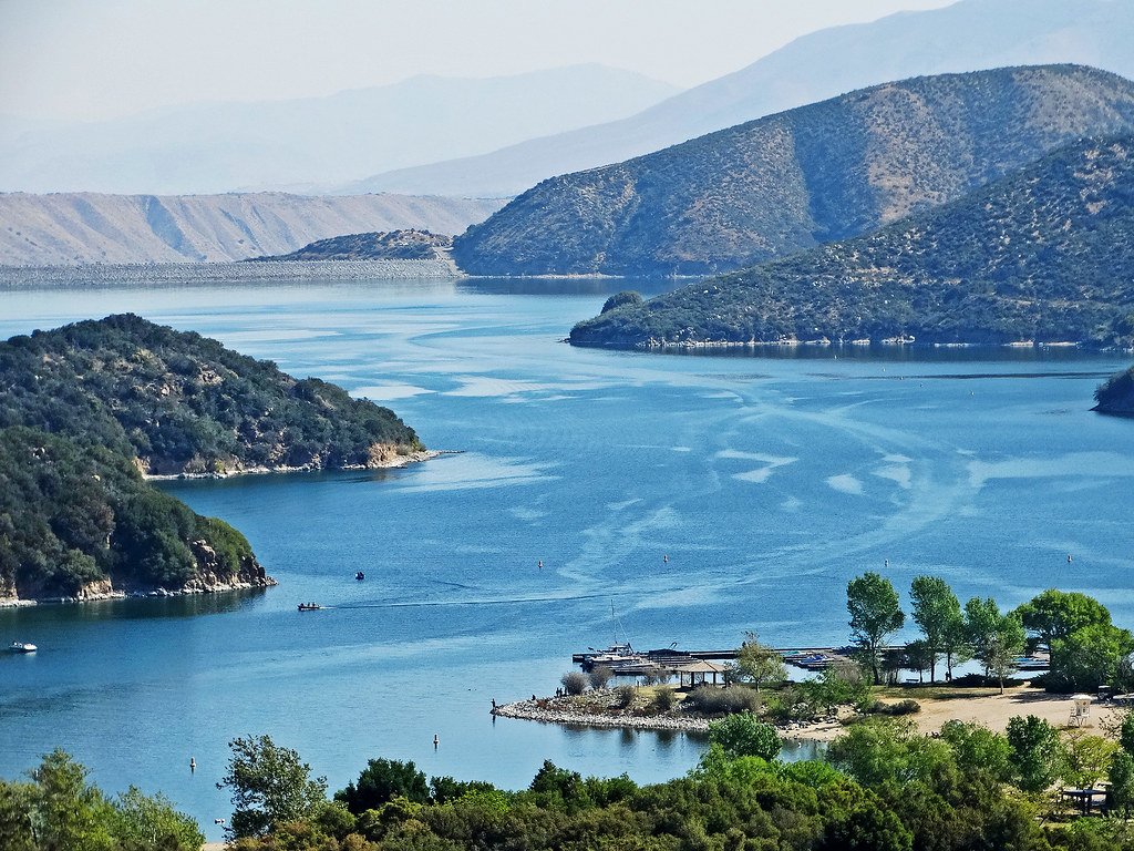
Silverwood Lake
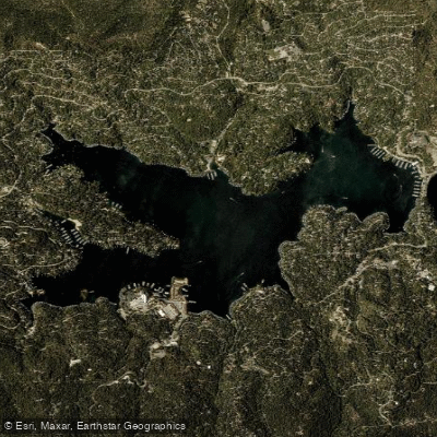
Lake Arrowhead
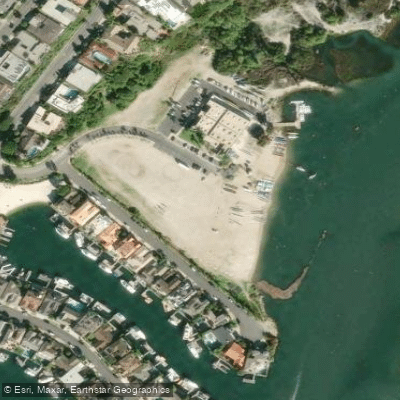
North Star Beach
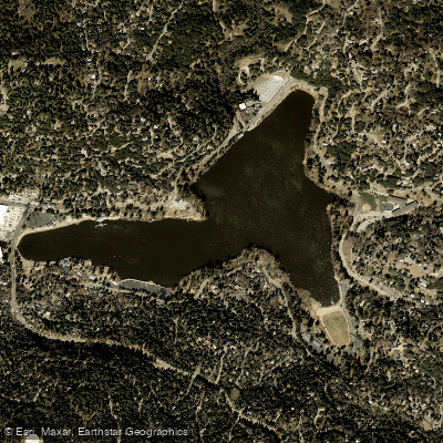
Lake Gregory
Explore California waters
Top paddling waters
Popular Cities
Loading popular cities...
Explore near Santa Ana River
Access points
Nearby waters
More in California

Smarter Paddling Starts in the App.
Paddleways gives you everything you need to plan smarter, paddle better, and own every trip from first launch to takeout.