San Gabriel River
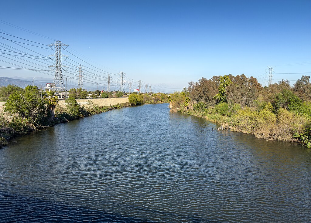
San Gabriel River
- Boat Ramps
- 0
- Access Points
- 5
- Campsites
- 24
The San Gabriel River originates in the San Gabriel Mountains of Southern California, flowing south through Los Angeles County before emptying into the Pacific Ocean. Its two main tributaries, the East Fork and West Fork, converge near Azusa to form the main stem. The river stretches approximately 60 miles in total length.
For paddlers, the San Gabriel offers a range of whitewater opportunities in its upper reaches. The East Fork provides the most reliable paddling, with a popular 4-mile Class III-IV+ run from East Fork Station to Camp Oak Grove. This section features a constant gradient averaging 105 feet per mile through cobble bars and numerous bends. The West Fork contains more remote and challenging sections, particularly above Cogswell Reservoir, where a stunning 10-mile wilderness run exists for expert paddlers during high water years. Below Morris Dam, a short 1.5-mile Class III-IV section gives a glimpse of the river's pre-dam character.
As the river exits the mountains, it becomes increasingly channelized and urbanized, with flatwater paddling opportunities in the lower reaches near Long Beach. The river's flow is highly seasonal, with the best paddling typically occurring from late winter through spring during snowmelt and rainy periods. El Niño years can provide exceptional conditions, opening up rarely run creeks and tributaries.
The upper watershed supports diverse plant communities, including chaparral species like Arctostaphylos glauca and Artemisia californica. Wildlife includes coyotes and various bird species. The river's course passes through the Angeles National Forest, offering scenic views of the San Gabriel Mountains.
Key access points include East Fork Station, Camp Oak Grove, and various spots along Highway 39. The nearby city of Azusa serves as a gateway to the upper river sections.
Historically, the San Gabriel River played a crucial role in the development of Los Angeles County, providing water for agriculture and later urban growth. Today, it remains an important water source and recreational asset for the region.
Paddlers should be aware of potential flash flood dangers, especially in narrow canyon sections. Some areas may require permits or have seasonal closures. Multi-day trips are possible in the more remote upper sections, but most runs are typically done as day trips due to the river's proximity to urban areas.
Water access, boat ramps & amenities
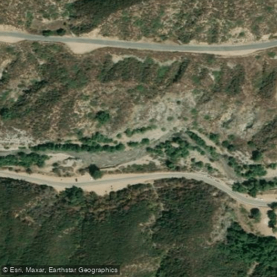
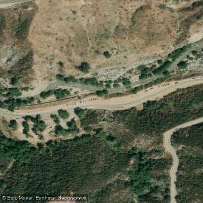
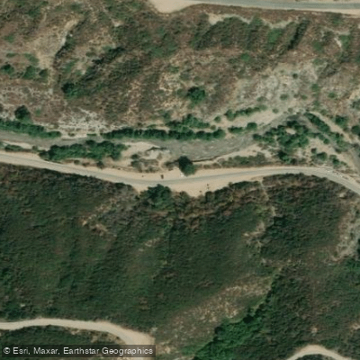
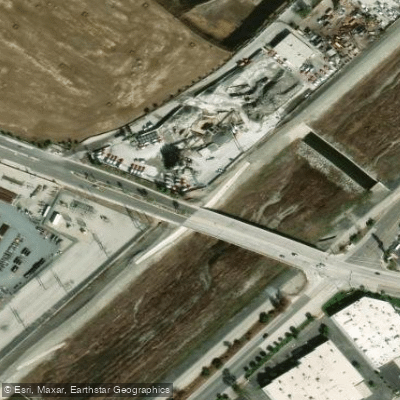
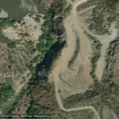
Learn how to get on San Gabriel River. Uncover great paddling access points, boat ramps, and all the facilities you need for an unforgettable day on the water. Some locations shown may border or include private property. Always check property boundaries and applicable regulations before visiting. PaddleWays's Public & Private Land layer can help you plan your access with confidence.
Paddle smarter with real-time insights
Whether you're en route and conditions shift or you're looking for the best spot based on current flows, we enable you to make informed decisions on the fly.








Find Places to Paddle

Over 400,000 Places to Paddle
Every user gets free access to launch points, boat ramps, and public property parcels.


Water and weather conditions (10 day forecast)
See the best times to paddle San Gabriel River and check the forecast before you go.
SAN GABRIEL R BL SANTA FE DAM NR BALDWIN PK CA
All Flow Stations
Paddling near San Gabriel River
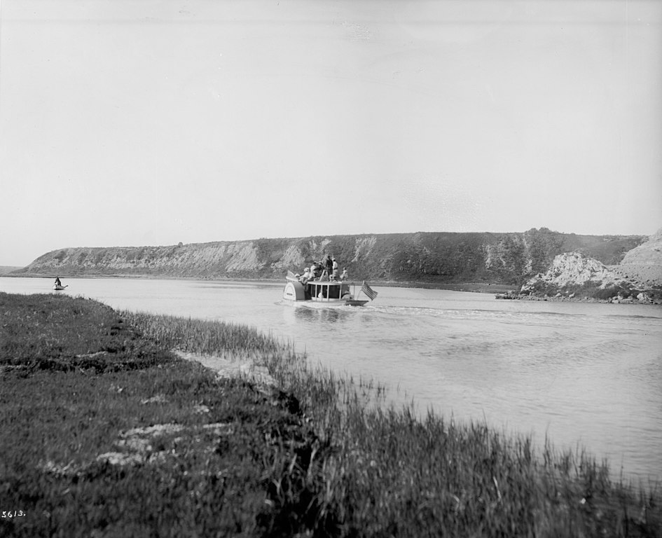
Santa Ana River
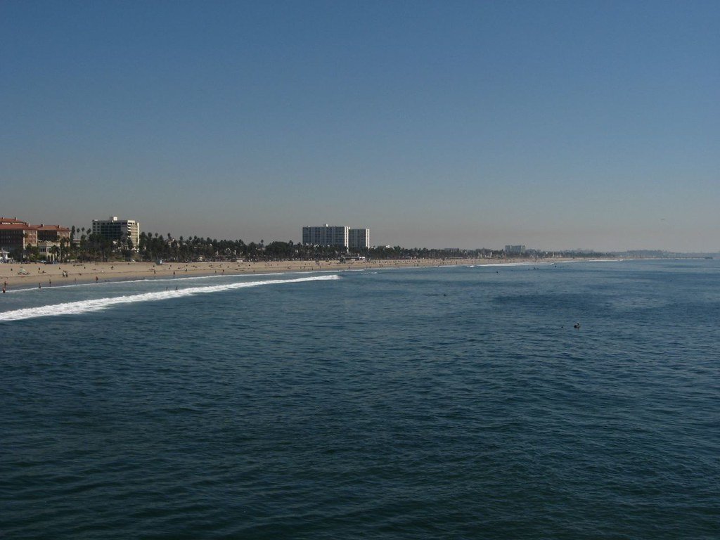
Santa Monica Bay
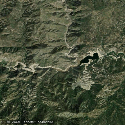
Cogswell Reservoir
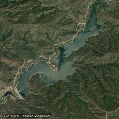
Morris Reservoir
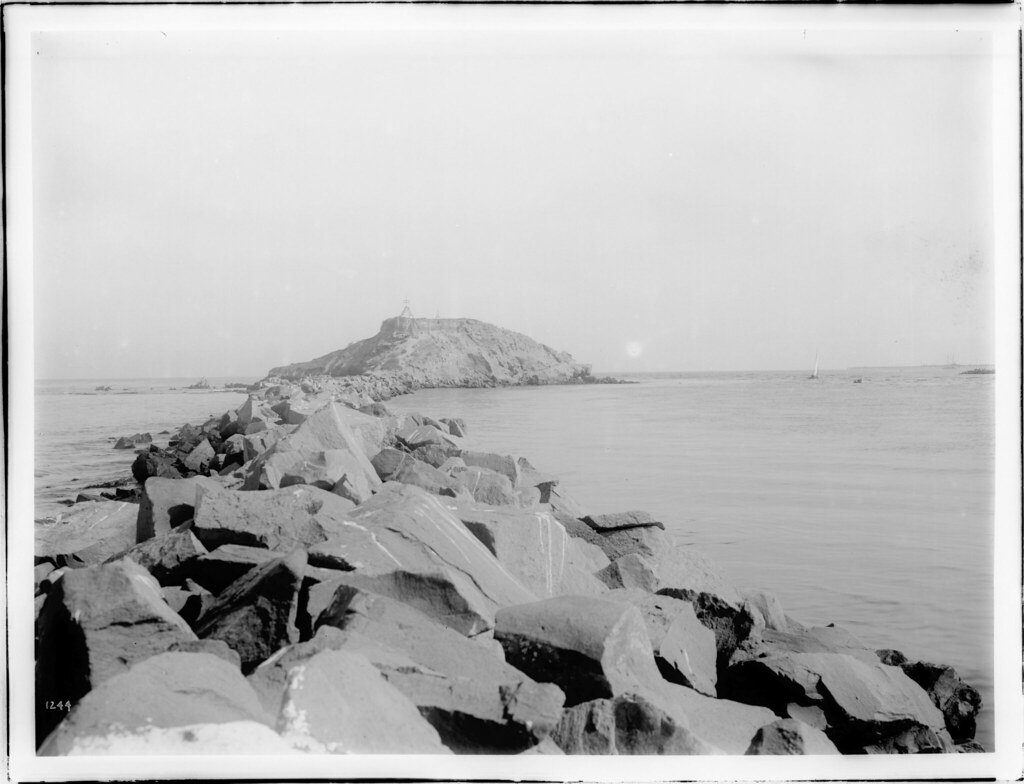
San Pedro Bay
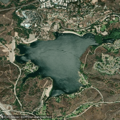
Puddingstone Reservoir
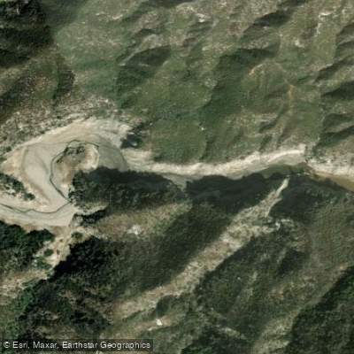
West Fork San Gabriel River
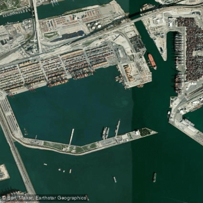
Los Angeles Harbor
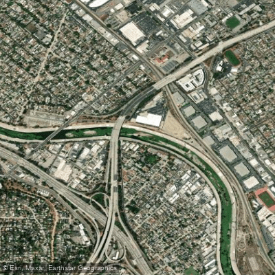
Los Angeles River
Explore California waters
Top paddling waters
Popular Cities
Loading popular cities...
Explore near San Gabriel River
Access points
Nearby waters
More in California

Smarter Paddling Starts in the App.
Paddleways gives you everything you need to plan smarter, paddle better, and own every trip from first launch to takeout.