Perris Reservoir
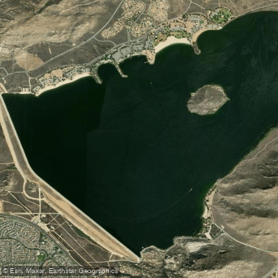
Perris Reservoir
- Boat Ramps
- 1
- Access Points
- 2
- Campsites
- 8
Lake Perris, located 11 miles south of Riverside, California, offers a diverse paddling experience within its 8,200-acre State Recreation Area. The lake is approximately 5 miles in perimeter, 3 miles long and 2 miles across. Paddlers can access multiple launch points, with Sail Cove being a popular spot that allows parking close to the waterline.
All boats, including kayaks and canoes, must travel in a counterclockwise direction outside the swim buoys. The lake features a 5 mph buoy zone around its perimeter, providing a safer area for non-motorized craft. Alessandro Island in the middle of the lake offers a day-use area accessible only by boat, with picnic facilities and restrooms.
Spring and early fall are ideal paddling seasons, as summers can be extremely hot. The lake is less windy compared to nearby mountain lakes. Fishing is permitted year-round, with opportunities for bass, catfish, and trout. The Department of Fish and Wildlife stocks rainbow trout during colder months.
Lake Perris is popular among various paddling groups, including the Valley Wide Kayak Club. It's not uncommon to see racing SUPs and outrigger canoes (OC-1s) on the water. The lake will host sprint rowing and canoeing events for the 2028 Olympics.
Facilities include the Lake Perris Marina, offering boat rentals, storage, and a store for supplies and fishing licenses. The park also features camping options, hiking trails, and rock climbing at Big Rock on the south end.
Entrance fees are $10 per vehicle, but an annual state parks pass (under $200) provides access to most California state parks. Paddlers should be aware that the lake can reach capacity early on summer weekends and holidays, so reservations are recommended during peak times.
Water access, boat ramps & amenities
Learn how to get on Perris Reservoir. Uncover great paddling access points, boat ramps, and all the facilities you need for an unforgettable day on the water. Some locations shown may border or include private property. Always check property boundaries and applicable regulations before visiting. PaddleWays's Public & Private Land layer can help you plan your access with confidence.
Paddle smarter with real-time insights
Whether you're en route and conditions shift or you're looking for the best spot based on current flows, we enable you to make informed decisions on the fly.








Find Places to Paddle

Over 400,000 Places to Paddle
Every user gets free access to launch points, boat ramps, and public property parcels.


Water and weather conditions (10 day forecast)
See the best times to paddle Perris Reservoir and check the forecast before you go.
No forecast data available.
Paddling near Perris Reservoir
Santa Ana River
San Gabriel River
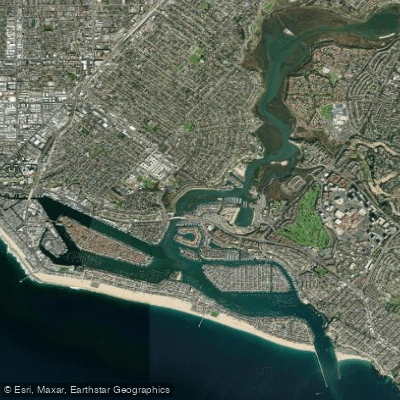
Newport Bay
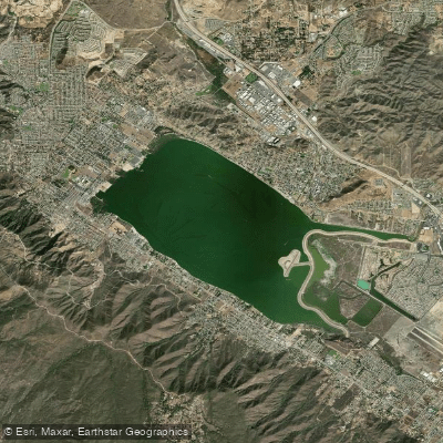
Lake Elsinore
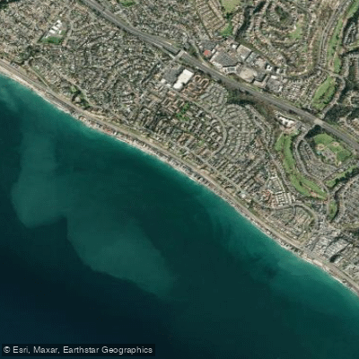
Poche Beach
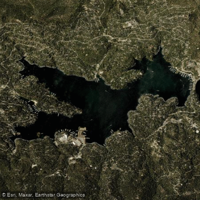
Lake Arrowhead
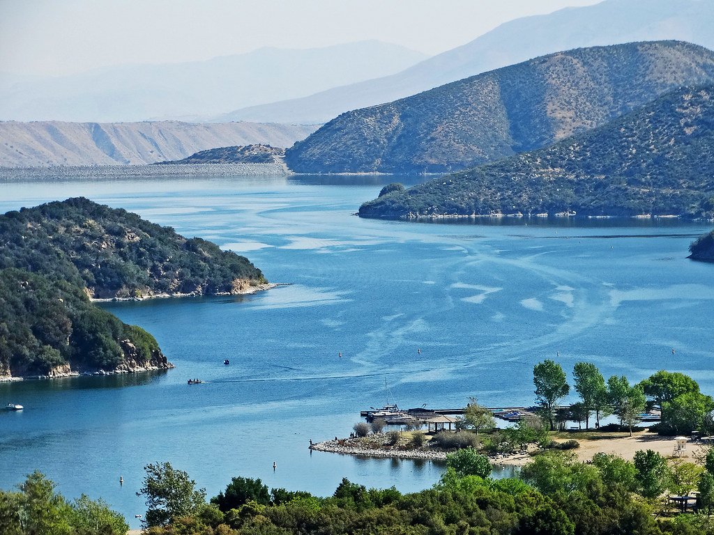
Silverwood Lake
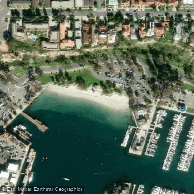
Baby Beach
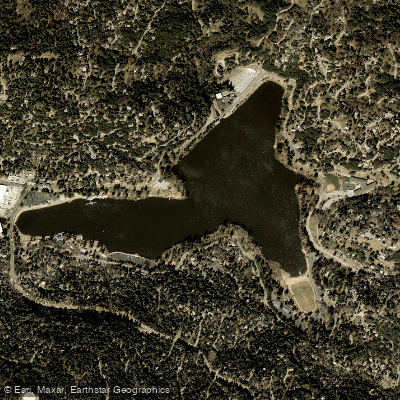
Lake Gregory
Explore California waters
Top paddling waters
Popular Cities
Loading popular cities...
Explore near Perris Reservoir
Access points
Nearby waters
More in California

Smarter Paddling Starts in the App.
Paddleways gives you everything you need to plan smarter, paddle better, and own every trip from first launch to takeout.