Lake Elsinore
Lake Elsinore
- Boat Ramps
- 1
- Access Points
- 2
- Campsites
- 8
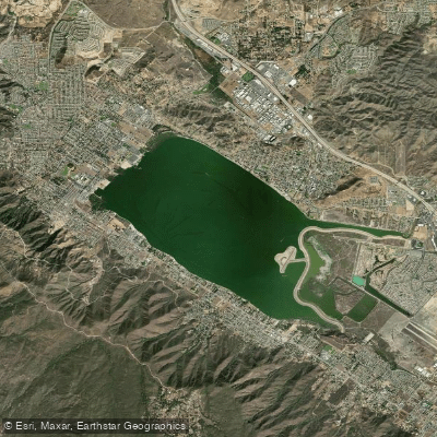
Lake Elsinore, located in Southern California, is the largest natural freshwater lake in the region. Situated in the foothills of the Ortega Mountain Range, this 14-mile perimeter lake offers diverse paddling opportunities. The best time to paddle is in the morning, as afternoon winds from the Ortega Mountains can create challenging conditions. Summer temperatures often reach 90-95°F, so early starts are advisable to avoid scorching heat.
Paddlers must stay within a buoyed zone that circles the lake's perimeter, with a 5 mph speed limit. This helps separate paddle craft from faster motorized boats, which follow a counterclockwise traffic pattern in the center. Two main launch areas are available: La Laguna off Riverside Drive and Elm Grove Beach, which offers free parking along Lakeside Drive.
The lake's south side features natural preserves and coves, providing opportunities to observe local and migratory birds. Fishing is popular, with bass, catfish, crappie, bluegill, and other panfish available in designated areas along Lakeshore Drive.
Safety considerations include being aware of speedboats potentially entering the slow zone and wearing protective footwear due to sharp pebbles on the beaches. The lake is patrolled by Riverside County Sheriffs, CalFire, and a volunteer Marine Search and Rescue team.
Facilities include a public beach with limited shade near the boat launch on Grand Avenue. Camping options are available, including RV and tent sites, with recent upgrades including the addition of yurts. The Lake Elsinore Aquatic Center offers kayak and paddleboard rentals and lessons.
When planning a trip, be prepared for crowds on summer weekends. The lake's water levels can fluctuate with drought conditions, but recent years have seen improved water levels, benefiting wildlife and recreation.
Water access, boat ramps & amenities
Learn how to get on Lake Elsinore. Uncover great paddling access points, boat ramps, and all the facilities you need for an unforgettable day on the water. Some locations shown may border or include private property. Always check property boundaries and applicable regulations before visiting. PaddleWays's Public & Private Land layer can help you plan your access with confidence.
Paddle smarter with real-time insights
Whether you're en route and conditions shift or you're looking for the best spot based on current flows, we enable you to make informed decisions on the fly.








Find Places to Paddle

Over 400,000 Places to Paddle
Every user gets free access to launch points, boat ramps, and public property parcels.


Water and weather conditions (10 day forecast)
See the best times to paddle Lake Elsinore and check the forecast before you go.
No forecast data available.
Paddling near Lake Elsinore
Santa Ana River
San Gabriel River
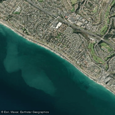
Poche Beach
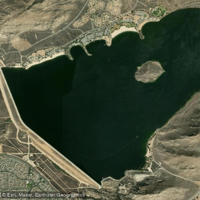
Perris Reservoir
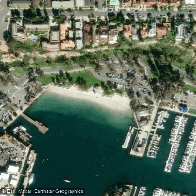
Baby Beach
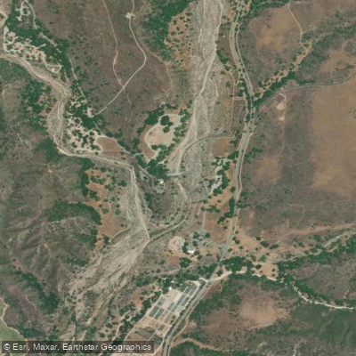
San Juan Creek
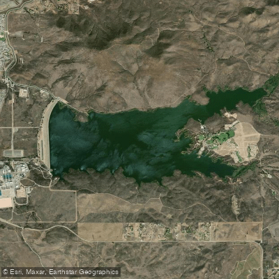
Skinner Reservoir
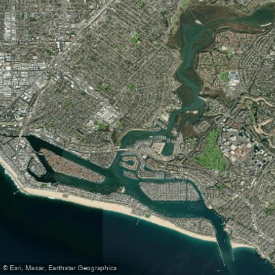
Newport Bay
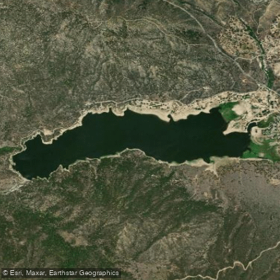
Lake Hemet
Explore California waters
Top paddling waters
Popular Cities
Loading popular cities...
Explore near Lake Elsinore
Access points
- Lake Elsinore West Marina & RV Park Boat Ramp
- Lake Elsinore Access
- San Jacinto River Bridge
- San Jacinto River Bridge
- San Jacinto River Bridge
- San Jacinto River Bridge
- San Jacinto River Bridge
- Arroyo Del Toro Channel Bridge
- Temescal Wash Bridge
- Temescal Wash Bridge
- Sign Creek Bridge
- Camp Area Campground
- All 19 spots
Nearby waters
More in California

Smarter Paddling Starts in the App.
Paddleways gives you everything you need to plan smarter, paddle better, and own every trip from first launch to takeout.