Santa Cruz Anchorage
- Saltwater
- Bay
Santa Cruz Anchorage
- Saltwater
- Bay
- Sq. miles
- 1.8
- Boat Ramps
- 0
- Access Points
- 3
- Campsites
- 9
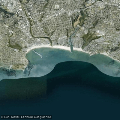
Santa Cruz Anchorage is a coastal bay on California's central coast, located immediately south of the Santa Cruz Beach Boardwalk. It is defined as the area east of Point Santa Cruz, west of the Santa Cruz Breakwater Light, and south of Cowell's, Main, and Seabright beaches. The primary public launch for paddlers is the Kayaker's Slipway, which provides direct access to the anchorage. The water body is protected from the north and west but is exposed to the south, making it susceptible to ocean swell and southerly winds. The anchorage is historically known to be "rolly" or lumpy, especially when groundswells arrive from the southwest, a condition often signaled by surfers paddling out at nearby breaks like Steamer Lane. Offshore winds typically blow from the northwest.
Paddling conditions vary significantly within the anchorage. The open water at its mouth, approximately a nautical mile across, features gentle, predictable swells. Thick kelp beds, found notably near Seal Rock and Lighthouse Point, dampen wave action and provide some resistance against wind. Crossing the line past Lighthouse Point brings you from Monterey Bay into the open Pacific Ocean. The anchorage is a multi-use area with boat traffic, including anchored vessels and fishing boats. Vessels, including kayaks, must remain at least 200 feet from the Santa Cruz Wharf. The entire Monterey Bay is a National Marine Sanctuary, subject to strict regulations regarding wildlife interaction and pollution.
Notable sights include the Santa Cruz Wharf, Lighthouse Point, and Seal Rock, which is often populated with harbor seals. Sea otters are commonly seen in the kelp beds. The aesthetic is a mix of the vibrant Santa Cruz waterfront and the natural rocky coastline. For a day trip, a common route is to paddle from the launch across the mouth of the anchorage to explore the area around Seal Rock and Lighthouse Point. Due to its exposure to ocean swell and potential for wind, this area is best paddled by those with some experience in open coastal conditions, and careful attention to weather and swell forecasts is essential.
Water access, boat ramps & amenities
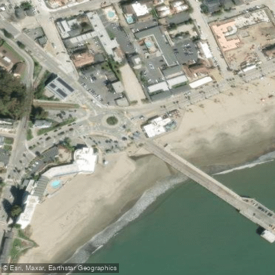
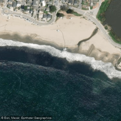
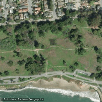
Learn how to get on Santa Cruz Anchorage. Uncover great paddling access points, boat ramps, and all the facilities you need for an unforgettable day on the water. Some locations shown may border or include private property. Always check property boundaries and applicable regulations before visiting. PaddleWays's Public & Private Land layer can help you plan your access with confidence.
Paddle smarter with real-time insights
Whether you're en route and conditions shift or you're looking for the best spot based on current flows, we enable you to make informed decisions on the fly.








Find Places to Paddle

Over 400,000 Places to Paddle
Every user gets free access to launch points, boat ramps, and public property parcels.


Tides, wind & water conditions (10 day forecast)
On open water, wind and tide matter as much as the weather. See the best times to paddle Santa Cruz Anchorage and check the marine forecast before you launch.
Loading tide predictions…
Paddling near Santa Cruz Anchorage
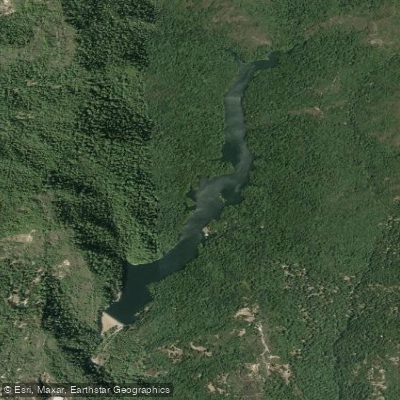
Loch Lomond
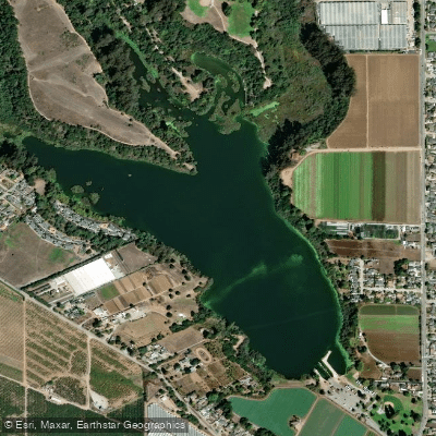
Pinto Lake
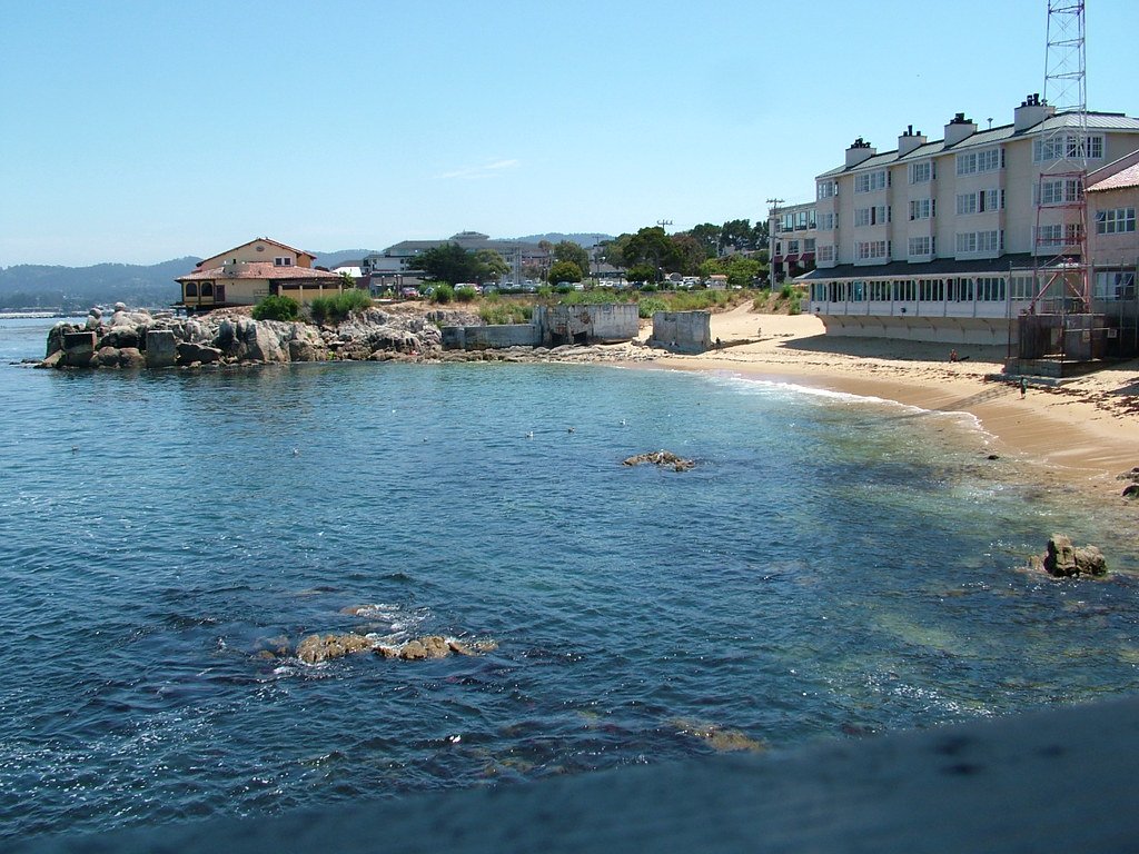
Monterey Bay
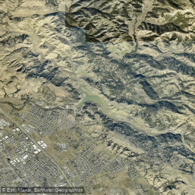
Anderson Lake
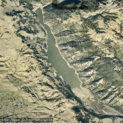
Coyote Lake
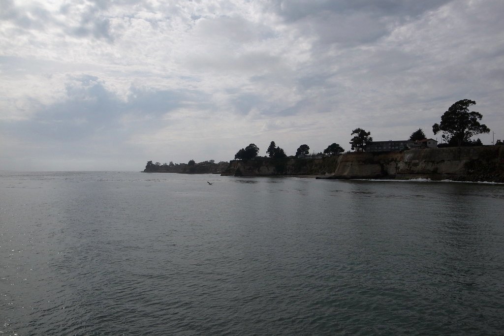
Soquel Cove
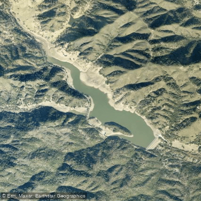
Uvas Reservoir
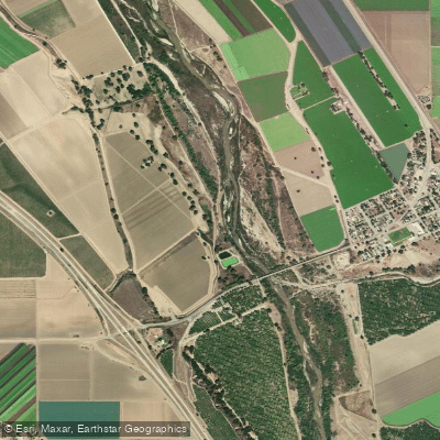
Salinas River
San Justo Reservoir
Explore California waters
Top paddling waters
Popular Cities
Loading popular cities...
Explore near Santa Cruz Anchorage
Access points
- Santa Cruz Municipal Wharf Access
- Twin Lakes Access
- Lighthouse Field State Beach Access
- San Lorenzo River Bridge
- Branciforte Creek Bridge
- Branciforte Creek Bridge
- Branciforte Creek Bridge
- Branciforte Creek Bridge
- Branciforte Creek Bridge
- Carbonera Creek Bridge
- Branciforte Creek Bridge
- Carbonera Creek Bridge
- All 25 spots
Nearby waters
More in California

Smarter Paddling Starts in the App.
Paddleways gives you everything you need to plan smarter, paddle better, and own every trip from first launch to takeout.