Soquel Cove
- Saltwater
- Cove
Soquel Cove
- Saltwater
- Cove
- Sq. miles
- 6.8
- Boat Ramps
- 1
- Access Points
- 3
- Campsites
- 7
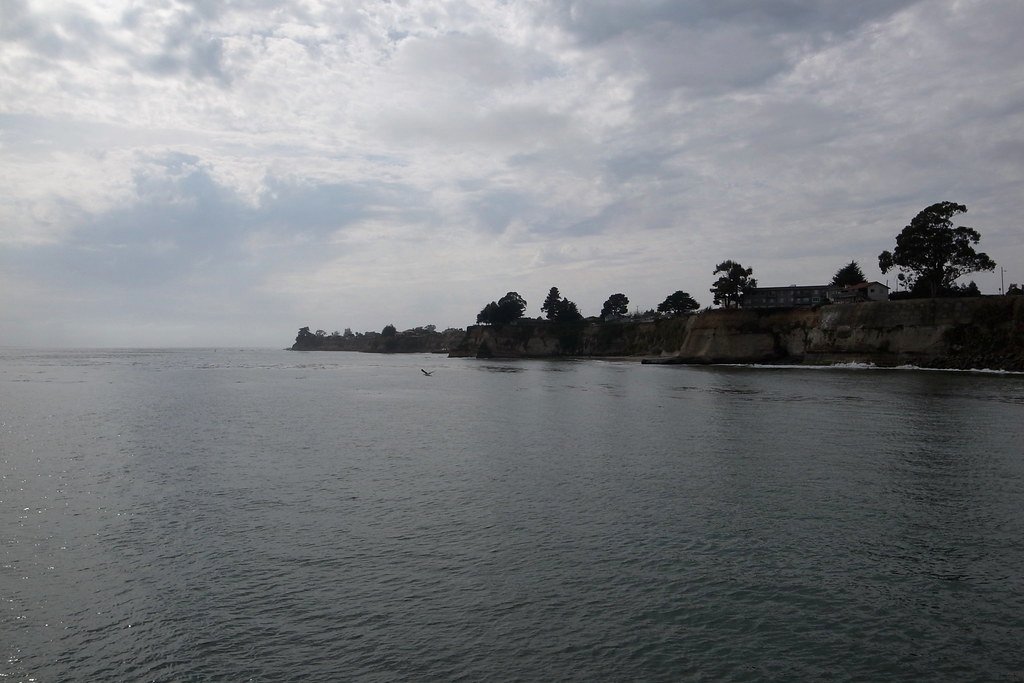
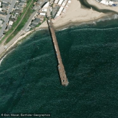
Soquel Cove is a coastal indentation within Monterey Bay, forming a portion of the shoreline near the towns of Capitola and Aptos in California. It is part of the Monterey Bay National Marine Sanctuary. The cove is a saltwater environment, and its waters are known to be a nursery habitat for juvenile great white sharks, a significant safety consideration for paddlers. The area is characterized by calm conditions, as Opal Cliffs protect the cove from prevailing west winds. The primary paddling access is from the mouth of Soquel Creek in Capitola. Launching here can be challenging, requiring a drop over a railing from a small park area, and the kayakable portion of the creek itself is only about half a mile long before opening into the cove. The Capitola Wharf, a prominent landmark, extends into the cove and is a focal point for boat traffic and rentals. Paddlers will encounter kelp forests within the cove, which are home to marine life such as sea lions. The shoreline features sandy beaches like Capitola City Beach and Rio Del Mar State Beach, and the scenic, colorful Venetian Village cottages line part of the waterfront. The overall vibe is typically peaceful on the water, contrasting with the busier beach and dining areas ashore. Key hazards include the presence of sharks, potential boat traffic near the wharf, and the need to navigate a sandbank at the creek mouth during certain tidal conditions. Water quality in the creek area can be affected by bird droppings. Facilities are centered around Capitola Wharf, where kayak and paddleboard rentals, as well as tackle and supply shops, are available.
Water access, boat ramps & amenities
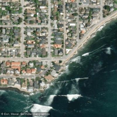
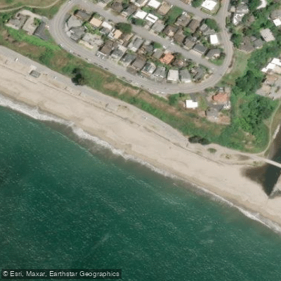
Learn how to get on Soquel Cove. Uncover great paddling access points, boat ramps, and all the facilities you need for an unforgettable day on the water. Some locations shown may border or include private property. Always check property boundaries and applicable regulations before visiting. PaddleWays's Public & Private Land layer can help you plan your access with confidence.
Paddle smarter with real-time insights
Whether you're en route and conditions shift or you're looking for the best spot based on current flows, we enable you to make informed decisions on the fly.








Find Places to Paddle

Over 400,000 Places to Paddle
Every user gets free access to launch points, boat ramps, and public property parcels.


Tides, wind & water conditions (10 day forecast)
On open water, wind and tide matter as much as the weather. See the best times to paddle Soquel Cove and check the marine forecast before you launch.
Loading tide predictions…
Paddling near Soquel Cove
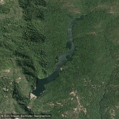
Loch Lomond
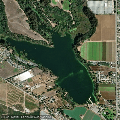
Pinto Lake
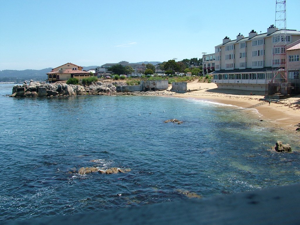
Monterey Bay
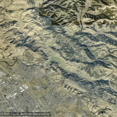
Anderson Lake
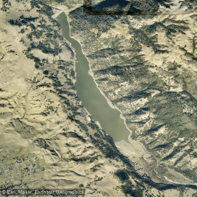
Coyote Lake
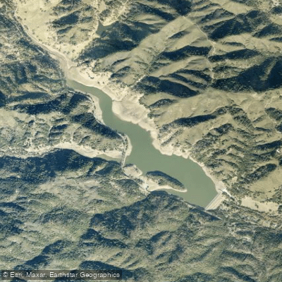
Uvas Reservoir
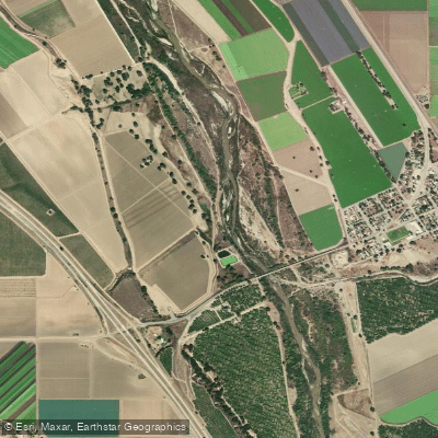
Salinas River
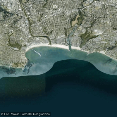
Santa Cruz Anchorage
San Justo Reservoir
Explore California waters
Top paddling waters
Popular Cities
Loading popular cities...
Explore near Soquel Cove
Access points
Nearby waters
More in California

Smarter Paddling Starts in the App.
Paddleways gives you everything you need to plan smarter, paddle better, and own every trip from first launch to takeout.