South Fork Tuolumne River
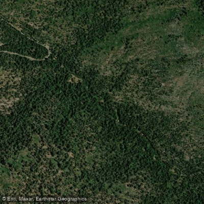
South Fork Tuolumne River
- Boat Ramps
- 0
- Access Points
- 2
- Campsites
- 20
The South Fork Tuolumne River is a scenic and challenging waterway that flows through the western Sierra Nevada mountains in California. Originating near Hodgdon Meadow in Yosemite National Park at an elevation of 4,500 feet, the river flows westward for approximately 20 miles before joining the main stem of the Tuolumne River. This river offers paddlers a range of whitewater experiences, from intermediate day trips to expert-level gorge runs.
The most popular section for rafting and kayaking is the 1-2 mile stretch from Highway 120 to Rainbow Pool. This Class IV-IV+ run features the challenging Berkeley Camp Rapid (IV+) about 0.9 miles downstream from the put-in. For advanced paddlers seeking a more intense experience, the 5-mile long Gorge section provides continuous Class V-V+ whitewater from near Hodgdon Meadow to the confluence with the main Tuolumne. This extremely technical run demands expert skills to navigate its steep boulder gardens and powerful hydraulics.
The South Fork's flow is primarily snowmelt-driven, with the best paddling typically occurring from late spring through early summer. However, the river can become dangerously high during peak runoff, so checking current conditions is crucial. The river corridor supports a diverse ecosystem, with mixed conifer forests giving way to oak woodlands at lower elevations. Wildlife such as black bears, mule deer, and a variety of bird species can often be spotted along the banks.
Key landmarks include the scenic Rainbow Pool, a popular swimming hole and picnic area at the take-out for the upper day trip section. The Hardin Flat Bridge marks the beginning of Berkeley Camp Rapid, a significant feature for paddlers to be aware of. Access to the river is primarily via Highway 120, with the main put-in located at the highway crossing just outside Yosemite National Park. The nearby town of Groveland serves as a base for many paddlers and outfitters in the area.
The South Fork Tuolumne holds cultural significance as part of the broader Tuolumne River system, which has been an important water source for Native American tribes, gold miners, and modern-day communities in the region. Safety is paramount on this river, particularly in the Gorge section where rescue access is limited. All paddlers should be prepared for remote conditions and have solid self-rescue skills. Additionally, recent wildfires have impacted some access roads, potentially affecting shuttle logistics.
While primarily known for its day-trip options, multi-day adventures are possible by combining the South Fork with runs on the main Tuolumne River downstream. This allows paddlers to experience a diverse range of whitewater in one of California's premier river canyons.
Water access, boat ramps & amenities
Learn how to get on South Fork Tuolumne River. Uncover great paddling access points, boat ramps, and all the facilities you need for an unforgettable day on the water. Some locations shown may border or include private property. Always check property boundaries and applicable regulations before visiting. PaddleWays's Public & Private Land layer can help you plan your access with confidence.
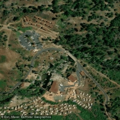
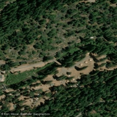
Paddle smarter with real-time insights
Whether you're en route and conditions shift or you're looking for the best spot based on current flows, we enable you to make informed decisions on the fly.








Find Places to Paddle

Over 400,000 Places to Paddle
Every user gets free access to launch points, boat ramps, and public property parcels.


Water and weather conditions (10 day forecast)
See the best times to paddle South Fork Tuolumne River and check the forecast before you go.
SF TUOLUMNE R NR OAKLAND REC CAMP
Paddling near South Fork Tuolumne River

Merced River

Tuolumne River

San Joaquin River
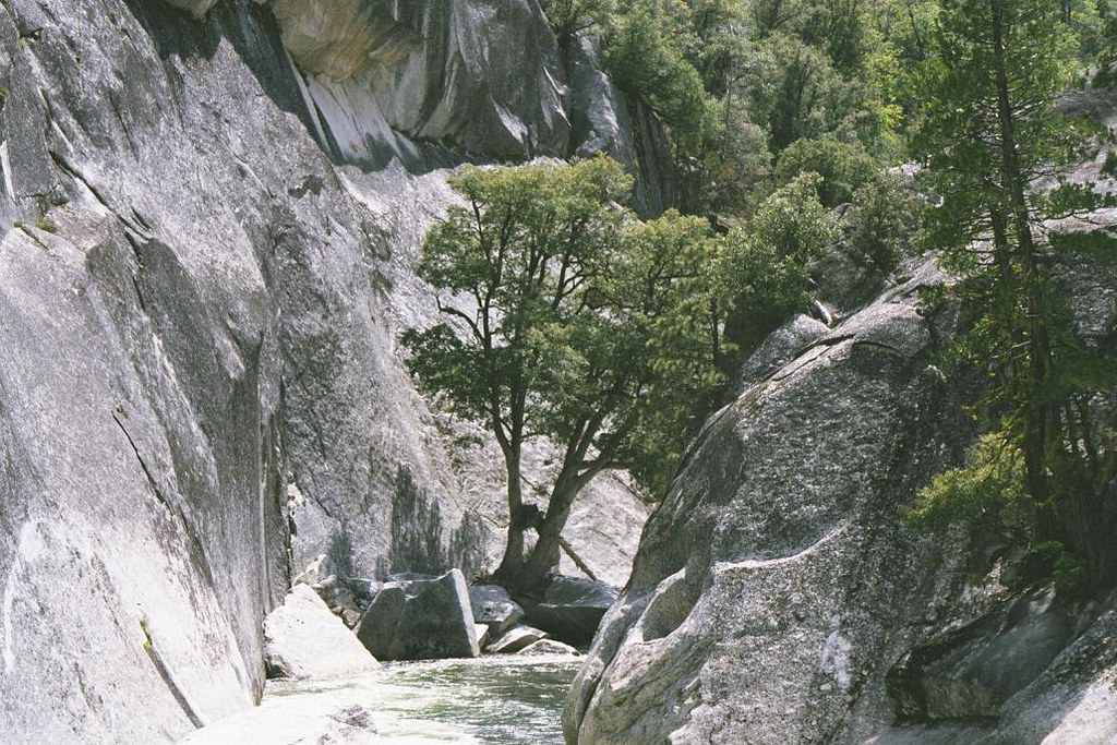
Middle Fork San Joaquin River
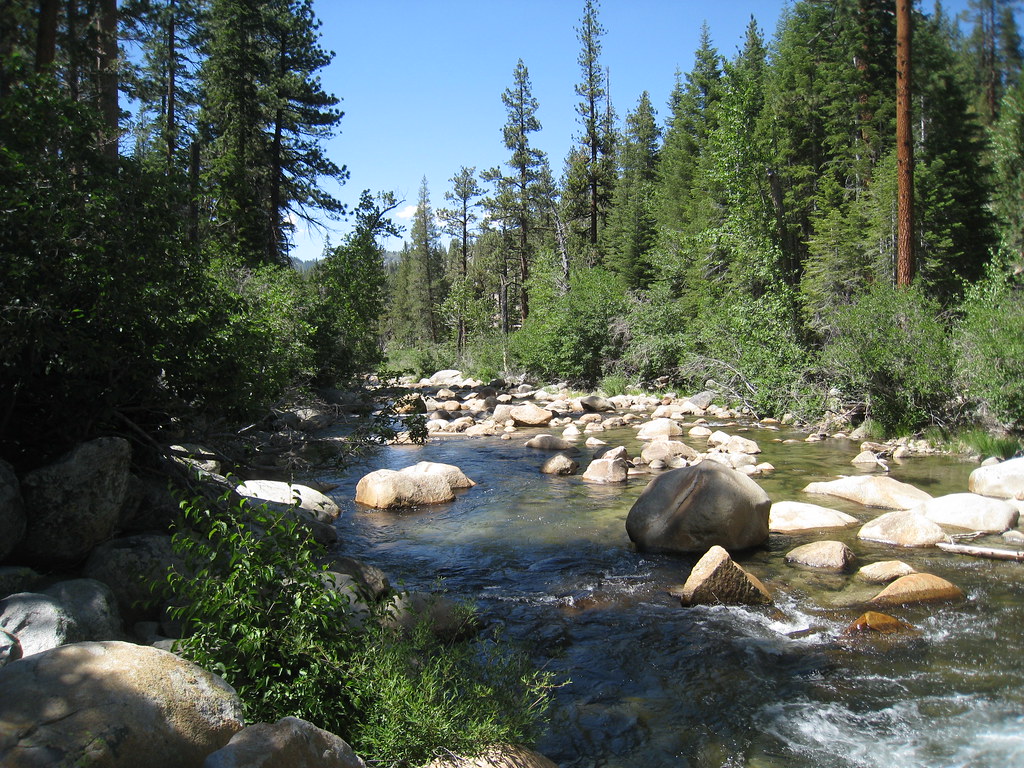
South Fork San Joaquin River

Stanislaus River
Middle Fork Stanislaus River
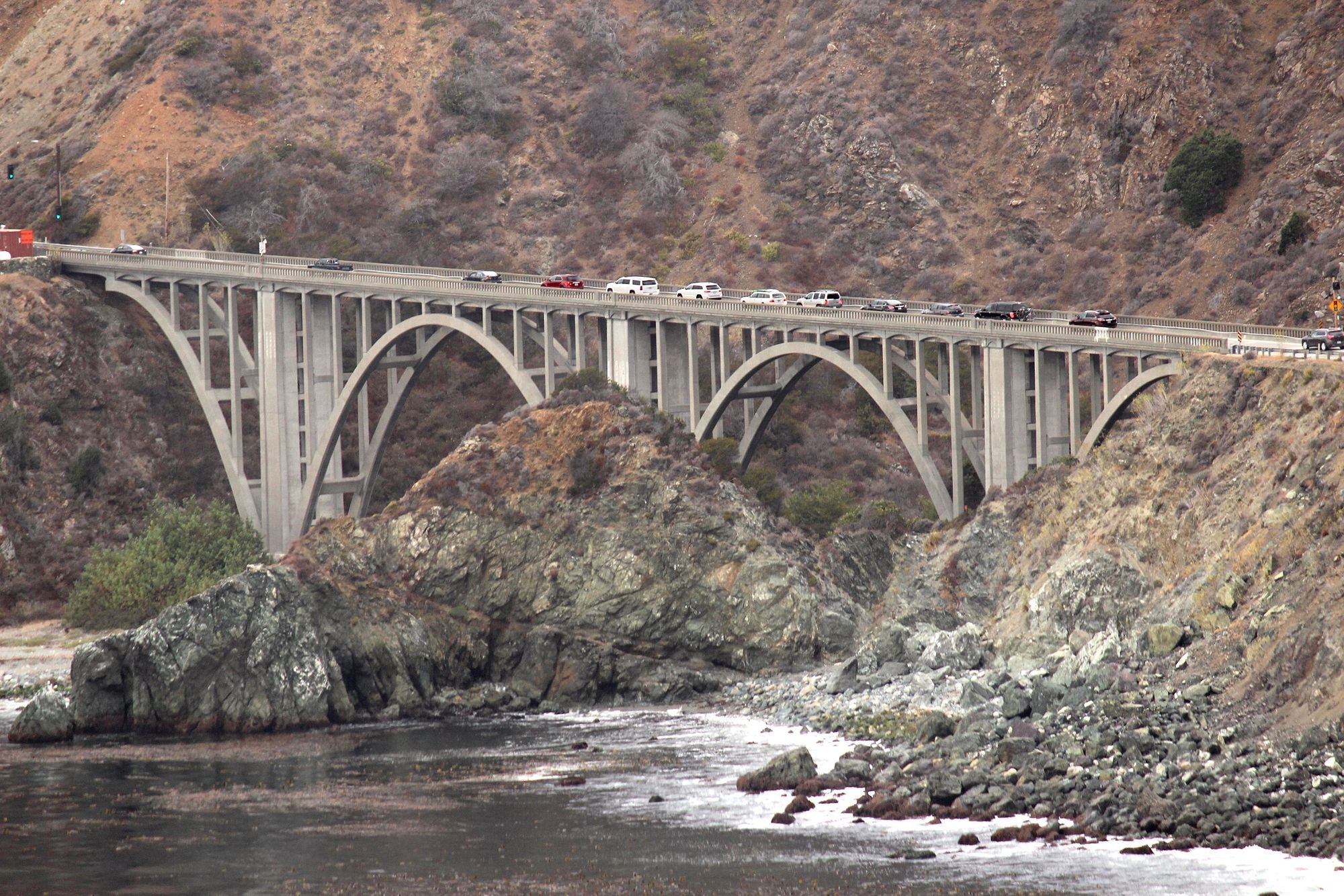
Big Creek
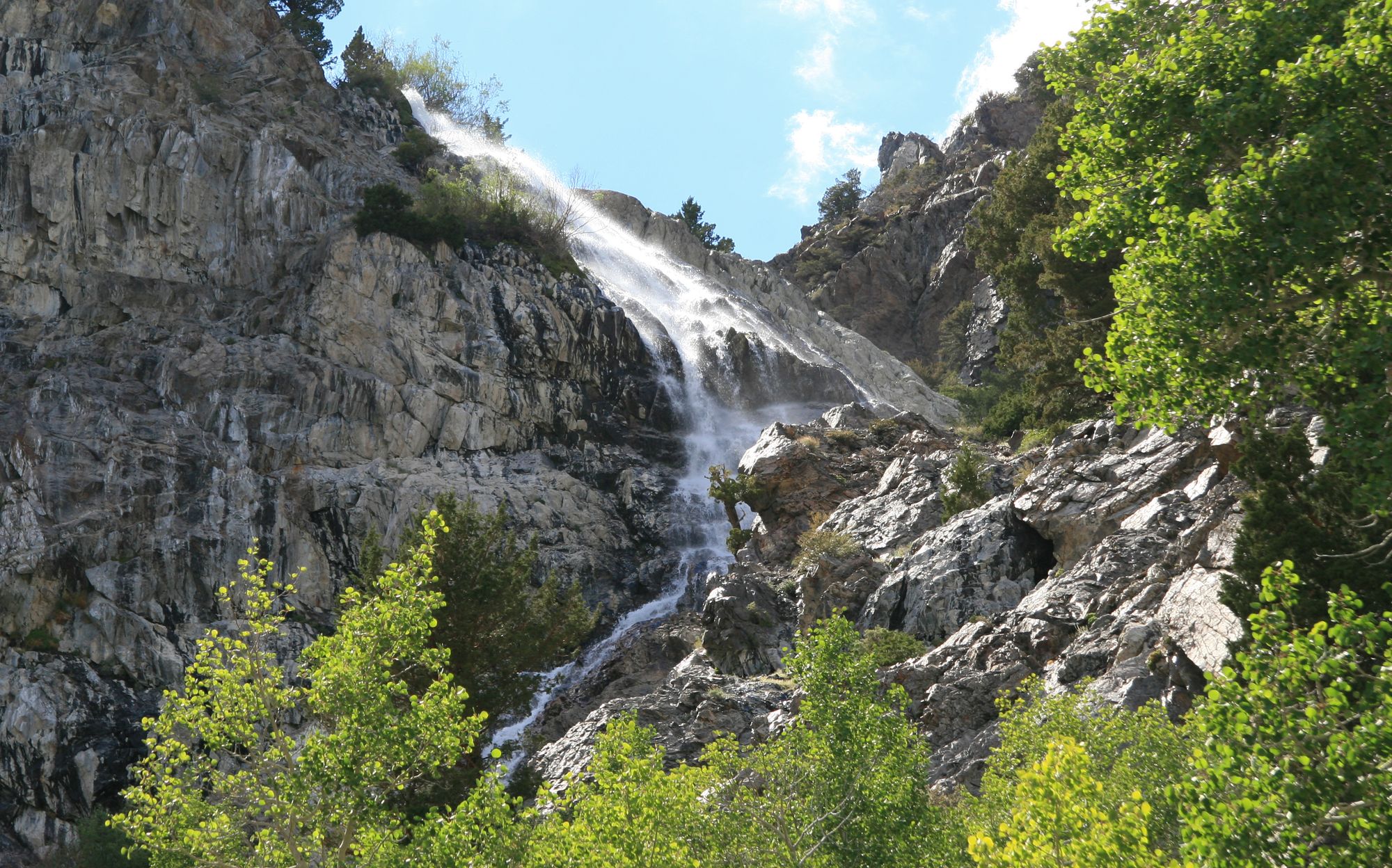
Rush Creek
Robinson Creek
Explore California waters
Top paddling waters
Popular Cities
Loading popular cities...
Explore near South Fork Tuolumne River
Access points
- Tuolumne River Access
- Tuolumne River South Fork Access
- South Fork Tuolumne Riv Bridge
- South Fk Tuolumne River Bridge
- South Fork Tuolumne Riv Bridge
- Ackerson Creek Bridge
- Middle Fork Tuolumne Riv Bridge
- Moore Creek Bridge
- Tamarack Creek Bridge
- Jordan Creek Bridge
- Yosemite Creek Bridge
- North Fork Merced River Bridge
- All 32 spots
Nearby waters
More in California

Smarter Paddling Starts in the App.
Paddleways gives you everything you need to plan smarter, paddle better, and own every trip from first launch to takeout.