White Slough
- Saltwater
- Sea area
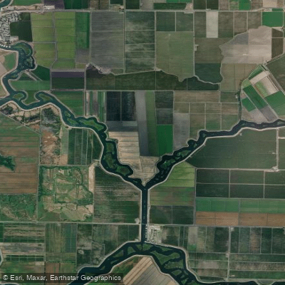
White Slough
- Saltwater
- Sea area
- Sq. miles
- 0.5
- Boat Ramps
- 0
- Access Points
- 0
- Campsites
- 0
White Slough is a tidal waterway within the California Delta, accessible from the Mokelumne River system. Tower Park Marina, located on the South Fork of the Mokelumne River, serves as a primary and well-equipped launch point. This facility offers a free kayak launch ramp, restrooms, a general store, and nearby dining options, including a shop that rents kayaks and stand-up paddleboards. Paddlers are advised to practice good ramp etiquette, especially during busy periods. From this launch, paddlers can head south into Potato Slough and then southeast to enter White Slough. The area is a complex network of sloughs and marshy islands, so navigation aids like NOAA chart 18661 or a GPS are strongly recommended to avoid getting lost. The water flow in these interconnected sloughs is tidal; in Potato Slough, the water flows south on an outgoing tide, indicating that tidal currents are a significant factor throughout the region. Paddlers should consult tide tables and weather forecasts before launching. The paddling environment is characterized by meandering channels through marshlands with numerous small islands. Wildlife sightings are common and can include turtles, Night Herons, Egrets, White Pelicans, hawks, and muskrats. Landing spots are plentiful but often muddy. The slough eventually connects to Honker Cut, approximately five miles from the Tower Park launch via Potato Slough, making for a potential day-trip destination. The area sees other boat traffic, including powerboats, as indicated by references to marinas and wakeboarding.
Water access, boat ramps & amenities
Learn how to get on White Slough. Uncover great paddling access points, boat ramps, and all the facilities you need for an unforgettable day on the water. Some locations shown may border or include private property. Always check property boundaries and applicable regulations before visiting. PaddleWays's Public & Private Land layer can help you plan your access with confidence.
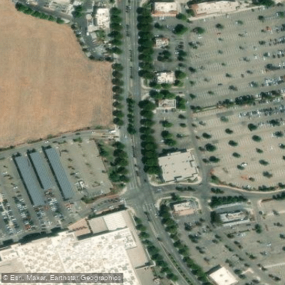
Paddle smarter with real-time insights
Whether you're en route and conditions shift or you're looking for the best spot based on current flows, we enable you to make informed decisions on the fly.








Find Places to Paddle

Over 400,000 Places to Paddle
Every user gets free access to launch points, boat ramps, and public property parcels.


Tides, wind & water conditions (10 day forecast)
On open water, wind and tide matter as much as the weather. See the best times to paddle White Slough and check the marine forecast before you launch.
Loading tide predictions…
Paddling near White Slough

Mokelumne River

San Joaquin River

Sacramento River

American River
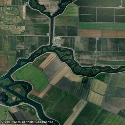
Disappointment Slough

Stanislaus River
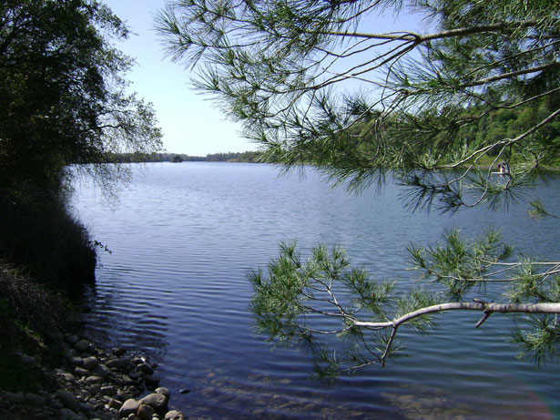
Lake Natoma
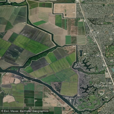
Fourteenmile Slough
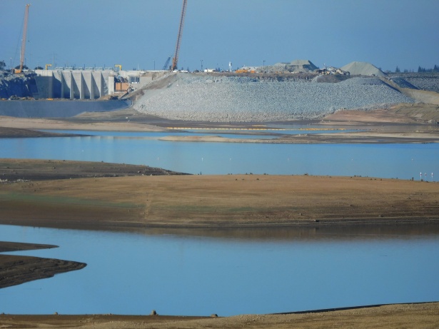
Folsom Lake
Explore California waters
Top paddling waters
Popular Cities
Loading popular cities...
Explore near White Slough
Access points
Nearby waters
More in California

Smarter Paddling Starts in the App.
Paddleways gives you everything you need to plan smarter, paddle better, and own every trip from first launch to takeout.