Lake Natoma
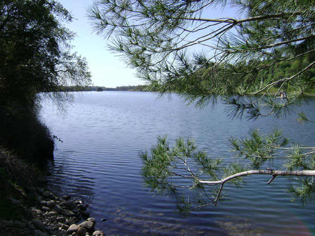
Lake Natoma
- Boat Ramps
- 3
- Access Points
- 9
- Campsites
- 8
Lake Natoma is a 4-mile long reservoir located on the Lower American River, about 15 miles northeast of Sacramento, California. The lake features 14 miles of shoreline and is primarily used for non-motorized boating, with a 5 mph speed limit for motorized vessels.
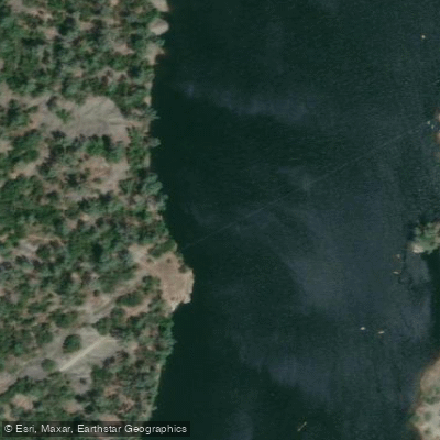
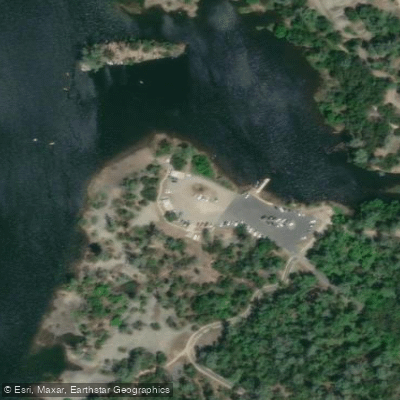
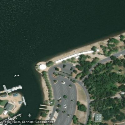
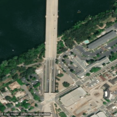
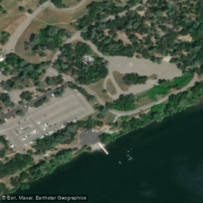
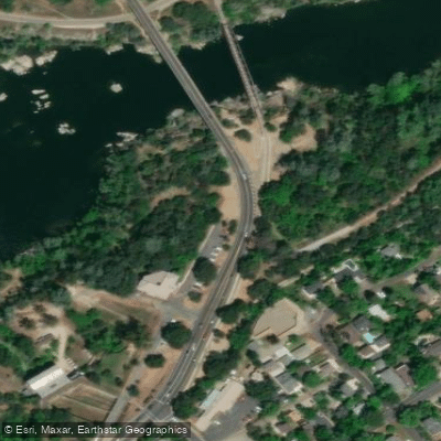
Several access points are available for paddlers. The main launches include Negro Bar State Park, Nimbus Flat State Park, and Willow Creek Recreation Area. Each offers parking, restrooms, and boat ramps or beach access. Kayak and paddleboard rentals are available at some locations.
The lake is known for its calm waters and scenic surroundings, making it ideal for beginners and experienced paddlers alike. Lush vegetation lines the shores, with rolling hills and a volcanic bluff along the northwestern side providing a picturesque backdrop. Wildlife viewing opportunities abound, with various bird species, deer, and other animals frequently spotted.
Paddlers should be aware of a few safety considerations. Submerged rocks can be present in unexpected areas, and water levels may fluctuate due to dam releases. There is a restricted zone near Folsom Prison - paddlers must not go beyond the marked boundary.
Water temperatures range from the low 50s°F in winter to the mid-60s°F in summer. The lake is generally clean and clear, especially away from launch areas. Summer weekends can get crowded, so paddling on weekdays or in off-peak seasons may provide a more tranquil experience.
Facilities at launch sites typically include picnic areas, sandy beaches, and hiking/biking trails. The lake's Gold Rush era history is evident in nearby attractions like the Folsom Powerhouse. With its accessibility and diverse paddling options, Lake Natoma offers an enjoyable outing for paddlers of all skill levels.
Water access, boat ramps & amenities
Learn how to get on Lake Natoma. Uncover great paddling access points, boat ramps, and all the facilities you need for an unforgettable day on the water. Some locations shown may border or include private property. Always check property boundaries and applicable regulations before visiting. PaddleWays's Public & Private Land layer can help you plan your access with confidence.
Paddle smarter with real-time insights
Whether you're en route and conditions shift or you're looking for the best spot based on current flows, we enable you to make informed decisions on the fly.








Find Places to Paddle

Over 400,000 Places to Paddle
Every user gets free access to launch points, boat ramps, and public property parcels.


Water and weather conditions (10 day forecast)
See the best times to paddle Lake Natoma and check the forecast before you go.
AMERICAN R BL FOLSOM DAM NR FOLSOM CA
All Flow Stations
Paddling near Lake Natoma

American River
Snodgrass Slough
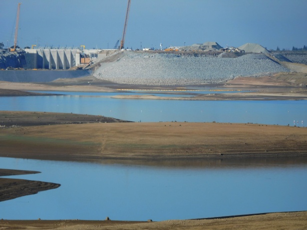
Folsom Lake

North Fork American River
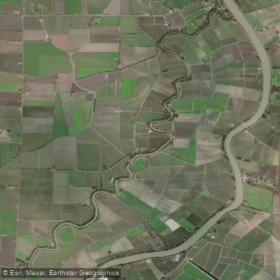
Elk Slough

Sacramento River
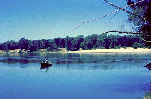
Feather River
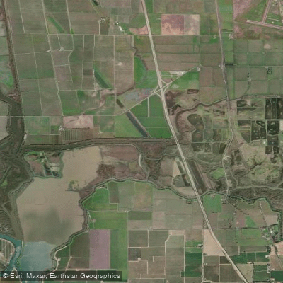
Lost Slough
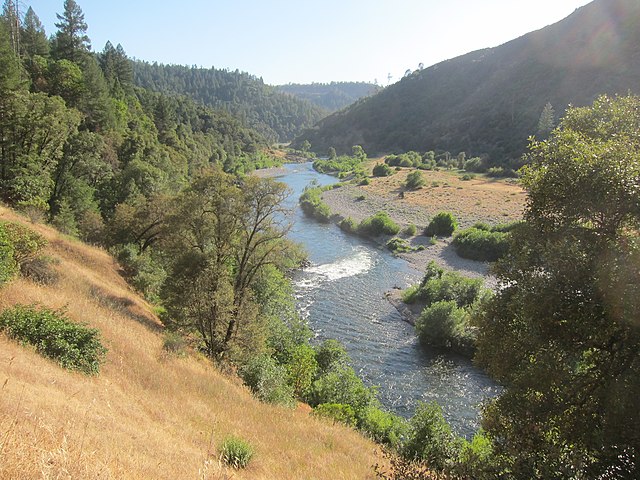
Middle Fork American River
Explore California waters
Top paddling waters
Popular Cities
Loading popular cities...
Explore near Lake Natoma
Access points
- Lake Natoma Black Miners Bar Boat Ramp
- Nimbus Flat Boat Ramp
- Willow Creek Lake Natoma Boat Ramp
- Lake Natoma Access
- Willow Creek Access
- Nimbus Flat Access
- South Lake Natoma Waterfront Trail Access
- Black Miners Bar Access
- Folsom Powerhouse State Park Access
- Rainbow Bridge
- Alder Creek Bridge
- Willow Creek Bridge
- All 38 spots
Nearby waters
More in California

Smarter Paddling Starts in the App.
Paddleways gives you everything you need to plan smarter, paddle better, and own every trip from first launch to takeout.